Directions to Wichita Public Library with public transportation
The following transit lines have routes that pass near Wichita Public Library
How to get to Wichita Public Library by bus?
Click on the bus route to see step by step directions with maps, line arrival times and updated time schedules.
Bus stops near Wichita Public Library
Bus lines to Wichita Public Library
What are the closest stations to Wichita Public Library?
The closest stations to Wichita Public Library are:
- Williamsburg And 11th St. N. is 26 yards away, 1 min walk.
- Central And Edgemoor Ib is 1189 yards away, 15 min walk.
- 13th St And Woodlawn Ob is 1414 yards away, 17 min walk.
Which bus lines stop near Wichita Public Library?
These bus lines stop near Wichita Public Library: ROUTE201: ROCK R, ROUTE25: E CENTR.
What’s the nearest bus station to Wichita Public Library?
The nearest bus station to Wichita Public Library is Williamsburg And 11th St. N.. It’s a 1 min walk away.
What time is the first bus to Wichita Public Library?
The ROUTE25: E CENTR is the first bus that goes to Wichita Public Library. It stops nearby at 5:28 AM.
What time is the last bus to Wichita Public Library?
The ROUTE25: E CENTR is the last bus that goes to Wichita Public Library. It stops nearby at 7:10 PM.
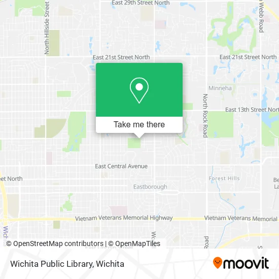
See Wichita Public Library on the map
Public Transportation to Wichita Public Library
Wondering how to get to Wichita Public Library? Moovit helps you find the best way to get to Wichita Public Library with step-by-step directions from the nearest public transit station.
Moovit provides free maps and live directions to help you navigate through your city. View schedules, routes, timetables, and find out how long does it take to get to Wichita Public Library in real time.
Looking for the nearest stop or station to Wichita Public Library? Check out this list of stops closest to your destination: Williamsburg And 11th St. N.; Central And Edgemoor Ib; 13th St And Woodlawn Ob.
Bus: ROUTE201: ROCK R, ROUTE25: E CENTR, EAST HIGH SCHOOL, ROUTE27: N BDWY-.
Want to see if there’s another route that gets you there at an earlier time? Moovit helps you find alternative routes or times. Get directions from and directions to Wichita Public Library easily from the Moovit App or Website.
We make riding to Wichita Public Library easy, which is why over 1.5 million users, including users in Wichita, trust Moovit as the best app for public transit. You don’t need to download an individual bus app or train app, Moovit is your all-in-one transit app that helps you find the best bus time or train time available.
For information on prices of bus, costs and ride fares to Wichita Public Library, please check the Moovit app.
Use the app to navigate to popular places including to the airport, hospital, stadium, grocery store, mall, coffee shop, school, college, and university.
Wichita Public Library Address: 5939 E 9th St N Wichita, KS 67208 street in Wichita
- Claude Lambe Park,
- Stephanie H Shields MD,
- Amazon Counter-Health Mart Pharmacy,
- Prepaid Legal Service Membership T Z Enterprises,
- Alan J Fearey, MD (Dr Jose J Sanchez Doctor of Medicine),
- Family Physicians,
- 6407 E 9th St N,
- Summit Roofing and Remodeling,
- Players Club,
- WATC Advanced Manufacturing Training Center Bldg 200,
- Talbott Investments,
- Kneeland Guitar Works,
- Martin de la Presa, MD,
- Josh Bolan - Schreck Financial,
- Wesley Care/Ku Pediatric,
- Office Park Association,
- Wichita Technical Institute - Wichita,
- Hotasan Medical Suppliers,
- Institute for Advanced Islamic Knowledge,
- The Waxsmith
Places Near Wichita Public Library
- East 21st Street North and Webb Road, Wichita,
- Westside Athletic Field (Friends University Baseball Field), Wichita,
- McConnell Air Force Base, Mcconnell Afb,
- Lopez Services, Wichita,
- Total Card Solutions, Wichita,
- Spirit AeroSystems, Bldg 2-280J (Section 9),
- Bmer Tech Automotive, Wichita,
- Hubb's glory hole, Wichita,
- Spirit Aerosystems,
- Paige Place Apartments, Wichita,
- Towne East Mall, Wichita,
- 21st & Maize, Wichita,
- Ratcliff Auto and Truck Repair, Wichita,
- Sena African Hair Braiding LLC, Wichita,
- Four Corners Cafe @ Wesley Medical Center, Wichita,
- Ascencion Via Christi Hospital St Francis, Wichita,
- Wichita Dwight D. Eisenhower National Airport (ICT) (Wichita Eisenhower National Airport), Wichita,
- Spirit Aerosystems Inc, Building 1-198D,
- North High School, Wichita,
- Afghan Halal Market, Wichita
How to get to popular places in Wichita with public transit
Get around Wichita by public transit!
Traveling around Wichita has never been so easy. See step by step directions as you travel to any attraction, street or major public transit station. View bus and train schedules, arrival times, service alerts and detailed routes on a map, so you know exactly how to get to anywhere in Wichita.
When traveling to any destination around Wichita use Moovit's Live Directions with Get Off Notifications to know exactly where and how far to walk, how long to wait for your line, and how many stops are left. Moovit will alert you when it's time to get off — no need to constantly re-check whether yours is the next stop.
Wondering how to use public transit in Wichita or how to pay for public transit in Wichita? Moovit public transit app can help you navigate your way with public transit easily, and at minimum cost. It includes public transit fees, ticket prices, and costs. Looking for a map of Wichita public transit lines? Moovit public transit app shows all public transit maps in Wichita with all bus routes and stops on an interactive map.
Wichita has 1 transit type(s), including: bus, operated by several transit agencies, including Wichita Transit, Greyhound-us and FlixBus-us