How to get to Wicked Jane by bus?
Click on the bus route to see step by step directions with maps, line arrival times and updated time schedules.
How to get to Wicked Jane by train?
Click on the train route to see step by step directions with maps, line arrival times and updated time schedules.
How to get to Wicked Jane by subway?
Click on the subway route to see step by step directions with maps, line arrival times and updated time schedules.
Bus stops near Wicked Jane in Manhattan
Subway stations near Wicked Jane in Manhattan
Train station near Wicked Jane in Manhattan
- 14th Street, 4 min walk,VIEW
Bus lines to Wicked Jane in Manhattan
- M8, West St Crosstown,VIEW
- M55, South Ferry,VIEW
- DOWNTOWN LOCAL, W 23rd St & 6th Ave,VIEW
- M1, Harlem - East Village,VIEW
- M2, Washington Heights - East Village,VIEW
- M3, Fort George - East Village,VIEW
- GREENWICH, Midtown / W 39th Street,VIEW
- X27, Bay Ridge - Manhattan Express,VIEW
- X28, Sea Gate / Bensonhurst - Manhattan Express,VIEW
- SIM1C, Eltingville - Manhattan Express,VIEW
- SIM3C, Pt. Richmond - Manhattan Express,VIEW
- SIM4C, Huguenot - Manhattan Express,VIEW
- SIM7, Eltingville - Greenwich Village Express,VIEW
- SIM9, Eltingville - Greenwich Village Express,VIEW
- SIM33, Mariners Harbor - Manhattan Express,VIEW
- SIM33C, Mariners Harbor - Greenwich Village Express,VIEW
What are the closest stations to Wicked Jane?
The closest stations to Wicked Jane are:
- W 8 St/5 Av is 65 yards away, 2 min walk.
- 6 Av/W 10 St is 69 yards away, 1 min walk.
- 6th Ave & W 10th St is 85 yards away, 2 min walk.
- E 8 St/5 Av is 157 yards away, 3 min walk.
- Christopher St-Stonewall is 195 yards away, 3 min walk.
- 5th Ave & W 10th St is 201 yards away, 3 min walk.
- Av Of The Americas/Waverly Pl is 293 yards away, 4 min walk.
- 6 Av/Waverly Pl is 297 yards away, 4 min walk.
- 14th Street is 301 yards away, 4 min walk.
- W 4 St-Wash Sq is 456 yards away, 6 min walk.
- 8 St-Nyu is 552 yards away, 7 min walk.
Which bus lines stop near Wicked Jane?
These bus lines stop near Wicked Jane: M1, M2, M55, X27.
Which train lines stop near Wicked Jane?
These train lines stop near Wicked Jane: BLU, YEL.
Which subway lines stop near Wicked Jane?
These subway lines stop near Wicked Jane: 2, 6, A, B, D, M.
What’s the nearest subway station to Wicked Jane in Manhattan?
The nearest subway station to Wicked Jane in Manhattan is Christopher St-Stonewall. It’s a 3 min walk away.
What’s the nearest train station to Wicked Jane in Manhattan?
The nearest train station to Wicked Jane in Manhattan is 14th Street. It’s a 4 min walk away.
What’s the nearest bus station to Wicked Jane in Manhattan?
The nearest bus stations to Wicked Jane in Manhattan are W 8 St/5 Av and 6th Ave & W 10th St. The closest one is a 2 min walk away.
What time is the first subway to Wicked Jane in Manhattan?
The 2 is the first subway that goes to Wicked Jane in Manhattan. It stops nearby at 3:02 AM.
What time is the last subway to Wicked Jane in Manhattan?
The 2 is the last subway that goes to Wicked Jane in Manhattan. It stops nearby at 4:02 AM.
What time is the first train to Wicked Jane in Manhattan?
The ATW is the first train that goes to Wicked Jane in Manhattan. It stops nearby at 3:16 AM.
What time is the last train to Wicked Jane in Manhattan?
The ATW is the last train that goes to Wicked Jane in Manhattan. It stops nearby at 3:17 AM.
What time is the first bus to Wicked Jane in Manhattan?
The SIM1C is the first bus that goes to Wicked Jane in Manhattan. It stops nearby at 3:54 AM.
What time is the last bus to Wicked Jane in Manhattan?
The M2 is the last bus that goes to Wicked Jane in Manhattan. It stops nearby at 2:59 AM.
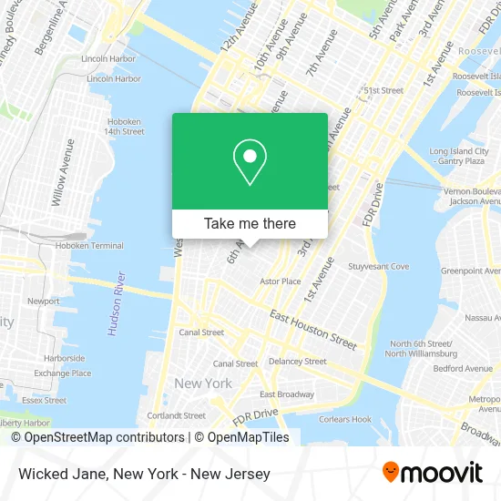
See Wicked Jane, Manhattan, on the map
Public Transit to Wicked Jane in Manhattan
Wondering how to get to Wicked Jane in Manhattan? Moovit helps you find the best way to get to Wicked Jane with step-by-step directions from the nearest public transit station.
Moovit provides free maps and live directions to help you navigate through your city. View schedules, routes, timetables, and find out how long does it take to get to Wicked Jane in real time.
Looking for the nearest stop or station to Wicked Jane? Check out this list of stops closest to your destination: W 8 St/5 Av; 6 Av/W 10 St; 6th Ave & W 10th St; E 8 St/5 Av; Christopher St-Stonewall; 5th Ave & W 10th St; Av Of The Americas/Waverly Pl; 6 Av/Waverly Pl; 14th Street; W 4 St-Wash Sq; 8 St-Nyu.
Bus: M1, M2, M55, X27, DOWNTOWN LOCAL.Train: BLU, YEL, ATW.Subway: 2, 6, A, B, D, M, 1, C, E, N, Q, R, W.
Want to see if there’s another route that gets you there at an earlier time? Moovit helps you find alternative routes or times. Get directions from and directions to Wicked Jane easily from the Moovit App or Website.
We make riding to Wicked Jane easy, which is why over 1.5 million users, including users in Manhattan, trust Moovit as the best app for public transit. You don’t need to download an individual bus app or train app, Moovit is your all-in-one transit app that helps you find the best bus time or train time available.
For information on prices of subway, bus and train, costs and ride fares to Wicked Jane, please check the Moovit app.
Use the app to navigate to popular places including to the airport, hospital, stadium, grocery store, mall, coffee shop, school, college, and university.
Wicked Jane Address: 15 W 8th St street in Manhattan
- Eva's X Cinco De Mayo : 8th Street,
- Ten Ten Nyc,
- Digital Vault Myanmar 2.0,
- Eva's,
- Mekki Nyc,
- Arthouse Nyc,
- Ideal Glass Studios,
- Hot Situations,
- Beau Gouse Co,
- Lena Cafe,
- Pop Up Flea,
- Marlton Hotel,
- The Marlton Hotel,
- New York Studio School,
- Pax Christi Metro New York,
- Loring Place,
- Secure Data Recovery Services,
- The Basement,
- Mndebele Dv Dr,
- Joshua Nelson, Lmft, Lcsw
Places Near Wicked Jane (Manhattan)
- Pier 83, Manhattan,
- 66 John Street, Manhattan,
- 911 Memorial, Manhattan,
- 26 Federal Plaza, Manhattan,
- SoHo, Manhattan,
- Mountainside Hospital, Glen Ridge,
- San Gennaro Feast, Manhattan,
- Katz's Deli, Manhattan,
- Queens Center Mall, Queens,
- Bellevue Hospital, Manhattan,
- Wall Street, Manhattan,
- 376 Hudson Street, Manhattan,
- Hudson Yards, Manhattan,
- 1 Police Plaza, Manhattan,
- 3 Stone St, Manhattan,
- qqqq, Manhattan,
- Rockefeller Center, Manhattan,
- Chinatown, Manhattan,
- Times Square, Manhattan,
- 111 Centre New York City Supreme Court, Manhattan
How to get to popular places in New York - New Jersey with public transit
Get around Manhattan by public transit!
Traveling around Manhattan has never been so easy. See step by step directions as you travel to any attraction, street or major public transit station. View bus and train schedules, arrival times, service alerts and detailed routes on a map, so you know exactly how to get to anywhere in Manhattan.
When traveling to any destination around Manhattan use Moovit's Live Directions with Get Off Notifications to know exactly where and how far to walk, how long to wait for your line, and how many stops are left. Moovit will alert you when it's time to get off — no need to constantly re-check whether yours is the next stop.
Wondering how to use public transit in Manhattan or how to pay for public transit in Manhattan? Moovit public transit app can help you navigate your way with public transit easily, and at minimum cost. It includes public transit fees, ticket prices, and costs. Looking for a map of Manhattan public transit lines? Moovit public transit app shows all public transit maps in Manhattan with all Bus, Train, Subway, Light Rail, Ferry and Cable Car routes and stops on an interactive map.
New York - New Jersey has 6 transit type(s), including: Bus, Train, Subway, Light Rail, Ferry and Cable Car, operated by several transit agencies, including MTA Subway, Metro-North Railroad, LIRR, PATH, MTA New York City Transit - Express routes, MTA Bus, NJ Transit, NYC Ferry, NICE bus, Bee-Line Bus, NJ Transit Rail, Norwalk Transit District, Hartford Line, River Valley Transit and HART