Willow & California SE stop - Saturday schedule
| Line | Direction | Time |
|---|---|---|
| 104 | 104 Spring to Norwalk Blvd via Airport | 7:10 AM |
| 104 | 104 Spring to Norwalk Blvd via Airport | 8:11 AM |
| 104 | 104 Spring to Norwalk Blvd via Airport | 9:11 AM |
| 104 | 104 Spring to Norwalk Blvd via Airport | 10:11 AM |
| 104 | 104 Spring to Norwalk Blvd via Airport | 11:11 AM |
| 104 | 104 Spring to Norwalk Blvd via Airport | 12:11 PM |
| 104 | 104 Spring to Norwalk Blvd via Airport | 1:11 PM |
| 104 | 104 Spring to Norwalk Blvd via Airport | 2:11 PM |
| 104 | 104 Spring to Norwalk Blvd via Airport | 3:11 PM |
| 104 | 104 Spring to Norwalk Blvd via Airport | 4:11 PM |
| 104 | 104 Spring to Norwalk Blvd via Airport | 5:10 PM |
| 104 | 104 Spring to Norwalk Blvd via Airport | 6:10 PM |
Directions to Willow & California SE stop (Signal Hill) with public transit
The following transit lines have routes that pass near Willow & California SE
 Bus: 101, 103, 104, 61, 71.
- Subway: A LINE.
How to get to Willow & California SE stop by bus?
Click on the bus route to see step by step directions with maps, line arrival times and updated time schedules.
How to get to Willow & California SE stop by subway?
Click on the subway route to see step by step directions with maps, line arrival times and updated time schedules.
Subway stations near Willow & California SE station in Signal Hill
- Anaheim Street Station, 1 min walk,
Bus stops near Willow & California SE stop in Signal Hill
- Willow & California NW, 2 min walk,
- Orange & Willow SW, 5 min walk,
- Atlantic & Willow SW, 7 min walk,
- Atlantic & Willow NE, 7 min walk,
Bus lines to Willow & California SE stop in Signal Hill
- 104, 104 Spring to Norwalk Blvd via Airport,
- 71, 71 Orange to Rosecrans at Lakewood,
- 61, 61 Atlantic to Artesia Station,
- 101, 101 Carson to Norwalk Blvd,
- 103, 103 Carson St to Santa Fe Ave via Willow,
What are the closest stations to Willow & California SE?
The closest stations to Willow & California SE are:
- Anaheim Street Station is 33 yards away, 1 min walk.
- Willow & California NW is 159 yards away, 2 min walk.
- Orange & Willow SW is 401 yards away, 5 min walk.
- Atlantic & Willow SW is 541 yards away, 7 min walk.
- Atlantic & Willow NE is 561 yards away, 7 min walk.
Which bus lines stop near Willow & California SE?
These bus lines stop near Willow & California SE: 101, 103, 104, 61, 71.
Which subway line stops near Willow & California SE?
A LINE (Southbound to Long Beach)
What’s the nearest subway station to Willow & California SE in Signal Hill?
The nearest subway station to Willow & California SE in Signal Hill is Anaheim Street Station. It’s a 1 min walk away.
What’s the nearest bus station to Willow & California SE in Signal Hill?
The nearest bus station to Willow & California SE in Signal Hill is Willow & California NW. It’s a 2 min walk away.
What time is the first subway to Willow & California SE in Signal Hill?
The A LINE is the first subway that goes to Willow & California SE in Signal Hill. It stops nearby at 3:36 AM.
What time is the last subway to Willow & California SE in Signal Hill?
The A LINE is the last subway that goes to Willow & California SE in Signal Hill. It stops nearby at 1:38 AM.
What time is the first bus to Willow & California SE in Signal Hill?
The 61 is the first bus that goes to Willow & California SE in Signal Hill. It stops nearby at 5:16 AM.
What time is the last bus to Willow & California SE in Signal Hill?
The 61 is the last bus that goes to Willow & California SE in Signal Hill. It stops nearby at 12:53 AM.
Willow & California SE station
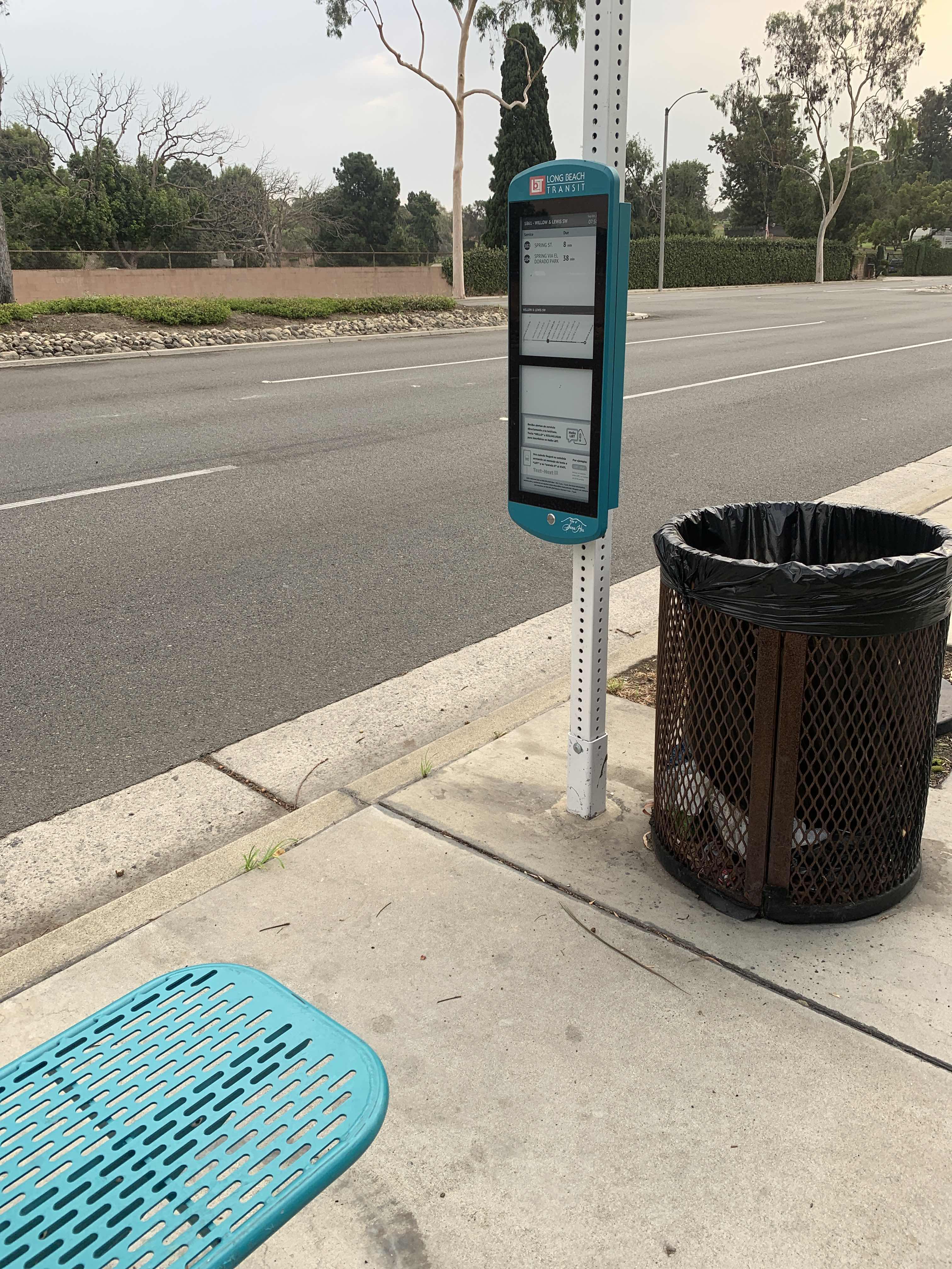 Taken by Anonymous
See Willow & California SE stop, Signal Hill, on the map
Public transit to Willow & California SE stop (ID: 1861) in Signal Hill
Looking for directions to Willow & California SE in Signal Hill, United States?
Download the Moovit App to find the current schedule and step-by-step directions for Bus or Subway routes that pass through Willow & California SE.
Looking for the nearest stops closest to Willow & California SE ? Check out this list of closest stops to your destination: Anaheim Street Station; Willow & California NW; Orange & Willow SW; Atlantic & Willow SW; Atlantic & Willow NE.
Bus: 101, 103, 104, 61, 71.Subway: A LINE.
We make riding on public transit to Willow & California SE easy, which is why over 1.5 million users, including users in Signal Hill trust Moovit as the best app for public transit.
Use the app to navigate to popular places including to the airport, hospital, stadium, grocery store, mall, coffee shop, school, college, and university.
Willow & California SE stop’s code is 1861
The first line to this stop is 104, at 7:10 AM, and the last line is 104 at 6:10 PM.
1040 E Willow St, Signal Hill, CA, USA
This stop serves Long Beach Transit’s lines
- Anaheim Street Station
Subway station near Willow & California SE station
- Willow & California NW,
- Orange & Willow SW,
- Atlantic & Willow SW,
- Atlantic & Willow NE
Bus stops near Willow & California SE stop
- Fullerton Station,
- Osborne / Laurel Canyon,
- Century Blvd & Yukon Ave,
- Vermont Ave & Franklin Ave,
- Vincent Grade/Acton Metrolink Station,
- Olive View Medical Center,
- Expo Park / USC Station,
- Vineland / Victory,
- LAX Terminal 6 Lower Level Flyaway Stop,
- Olympic / Grande Vista,
- Reseda Blvd & Parthenia St (Southbound),
- UCLA Gateway Plaza,
- Arcadia Station,
- Riverside / Coldwater Canyon,
- Cesar E Chavez / Record,
- Puente Ave & Amar Rd,
- Mcbean Pkwy & Valencia Blvd,
- Slauson Ave/Holy Cross Cemetery,
- Figueroa / Avenue 50,
- 54th St & Normandie Ave (Westbound)
Popular public transit stations in Signal Hill
Get around Signal Hill by public transit!
Traveling around Signal Hill has never been so easy. See step by step directions as you travel to any attraction, street or major public transit station. View bus and train schedules, arrival times, service alerts and detailed routes on a map, so you know exactly how to get to anywhere in Signal Hill.
When traveling to any destination around Signal Hill use Moovit's Live Directions with Get Off Notifications to know exactly where and how far to walk, how long to wait for your line, and how many stops are left. Moovit will alert you when it's time to get off — no need to constantly re-check whether yours is the next stop.
Wondering how to use public transit in Signal Hill or how to pay for public transit in Signal Hill? Moovit public transit app can help you navigate your way with public transit easily, and at minimum cost. It includes public transit fees, ticket prices, and costs. Looking for a map of Signal Hill public transit lines? Moovit public transit app shows all public transit maps in Signal Hill with all Bus, Train, Subway, Ferry and Funicular routes and stops on an interactive map.
Los Angeles has 5 transit type(s), including: Bus, Train, Subway, Ferry and Funicular, operated by several transit agencies, including Metro, Alhambra Community Transit, Arcadia Transit, Artesia Transit, AVTA, Baldwin Park Transit, Beach Cities Transit, Beaumont Transit, Bell Gardens Town Trolley, Bellflower Bus, Big Blue Bus, Burbank Bus, Calabasas Trolley, Camarillo Area Transit and Carson Circuit