Directions to Windshield Camera Recalibration (Sunshine Parkway) with public transportation
The following transit lines have routes that pass near Windshield Camera Recalibration
 Bus: 91.
How to get to Windshield Camera Recalibration by bus?
Click on the bus route to see step by step directions with maps, line arrival times and updated time schedules.
From Florida Atlantic University, Boca Raton
77 minFrom Don Estridge High Tech Middle Sch, Boca Raton
61 minFrom Palm Beach State College, Boca Raton
77 minFrom Lynn University, Boca Raton
63 minFrom Military Trail & Yamato Rd., Boca Raton
62 minFrom Town Center at Boca Raton-East, Boca Raton
52 minFrom Sample Rd, Deerfield Beach
71 minFrom Butterfly World, Pompano Beach
75 min
Bus stop near Windshield Camera Recalibration in Sunshine Parkway
- WESTWINDS SC at PUBLIX, 6 min walk,VIEW
Bus lines to Windshield Camera Recalibration in Sunshine Parkway
- 91, Rt 91 Westbound,VIEW
What are the closest stations to Windshield Camera Recalibration?
The closest stations to Windshield Camera Recalibration are:
- WESTWINDS SC at PUBLIX is 471 yards away, 6 min walk.
Which bus line stops near Windshield Camera Recalibration?
91 (Rt 91 Westbound)
What’s the nearest bus station to Windshield Camera Recalibration in Sunshine Parkway?
The nearest bus station to Windshield Camera Recalibration in Sunshine Parkway is WESTWINDS SC at PUBLIX. It’s a 6 min walk away.
What time is the first bus to Windshield Camera Recalibration in Sunshine Parkway?
The 91 is the first bus that goes to Windshield Camera Recalibration in Sunshine Parkway. It stops nearby at 5:51 AM.
What time is the last bus to Windshield Camera Recalibration in Sunshine Parkway?
The 91 is the last bus that goes to Windshield Camera Recalibration in Sunshine Parkway. It stops nearby at 8:23 PM.
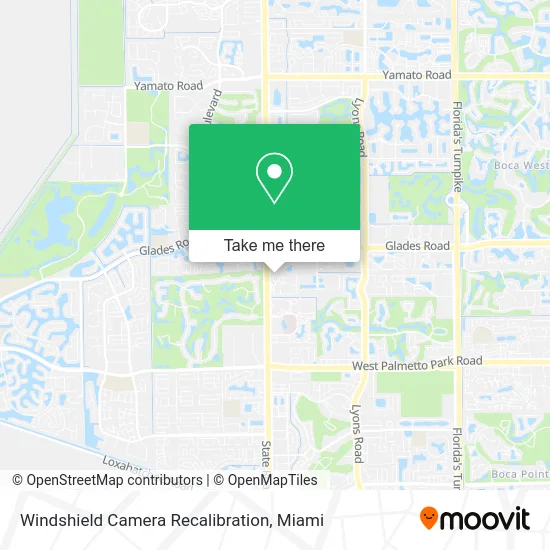
See Windshield Camera Recalibration, Sunshine Parkway, on the map
Public Transit to Windshield Camera Recalibration in Sunshine Parkway
Wondering how to get to Windshield Camera Recalibration in Sunshine Parkway? Moovit helps you find the best way to get to Windshield Camera Recalibration with step-by-step directions from the nearest public transit station.
Moovit provides free maps and live directions to help you navigate through your city. View schedules, routes, timetables, and find out how long does it take to get to Windshield Camera Recalibration in real time.
Looking for the nearest stop or station to Windshield Camera Recalibration? Check out this list of stops closest to your destination: WESTWINDS SC at PUBLIX.
Bus: 91.
Want to see if there’s another route that gets you there at an earlier time? Moovit helps you find alternative routes or times. Get directions from and directions to Windshield Camera Recalibration easily from the Moovit App or Website.
We make riding to Windshield Camera Recalibration easy, which is why over 1.5 million users, including users in Sunshine Parkway, trust Moovit as the best app for public transit. You don’t need to download an individual bus app or train app, Moovit is your all-in-one transit app that helps you find the best bus time or train time available.
For information on prices of bus, costs and ride fares to Windshield Camera Recalibration, please check the Moovit app.
Use the app to navigate to popular places including to the airport, hospital, stadium, grocery store, mall, coffee shop, school, college, and university.
Windshield Camera Recalibration Address: 21020 State Road 7 Boca Raton, FL 33428 street in Sunshine Parkway
- Derm Partners Boca II,
- Church of God,
- Elana Kaplove DC,
- Pakmail,
- Southend Aluminum,
- American Card Systems,
- The Plumbing Professionals,
- Scenthound Boca West,
- Depot,
- Minute Key,
- 9820 Glades Rd Parking,
- Liberty Health Sciences,
- Eos Fitness,
- 4lltd Fl Locksmith,
- Olive U,
- Club Pilates,
- Locksmith Express,
- The Great Greek Mediterranean Grill,
- Bar Bombay,
- LOTUS Palm Newport Bay Club Oaks
Places Near Windshield Camera Recalibration (Sunshine Parkway)
- Aventura Mall, Miami,
- Miami VA Hospital, Miami,
- Zoo Miami, Miami,
- Keiser University Flagship Campus, West Palm Beach,
- Wynwood, Miami,
- Sawgrass mall ( FL ), Miami Beach,
- Port of Miami Cruise Terminal, Miami,
- Aventura Mall, Miami Beach,
- Dolphin Mall, Miami,
- Bayside Marketplace, Miami,
- Miami Design District, Miami,
- Miami Freedom Park, Miami,
- Miami-Dade County Courthouse, Miami,
- Brickell City Centre, Miami,
- Little Havana, Miami,
- Richard E. Gerstein Justice Building, Miami,
- Dolphin Mall Bus, Miami,
- Sawgrass Mall, Miami,
- Hard Rock Stadium, Miami Gardens,
- Marlins Park, Miami
How to get to popular places in Miami with public transit
Get around Sunshine Parkway by public transit!
Traveling around Sunshine Parkway has never been so easy. See step by step directions as you travel to any attraction, street or major public transit station. View bus and train schedules, arrival times, service alerts and detailed routes on a map, so you know exactly how to get to anywhere in Sunshine Parkway.
When traveling to any destination around Sunshine Parkway use Moovit's Live Directions with Get Off Notifications to know exactly where and how far to walk, how long to wait for your line, and how many stops are left. Moovit will alert you when it's time to get off — no need to constantly re-check whether yours is the next stop.
Wondering how to use public transit in Sunshine Parkway or how to pay for public transit in Sunshine Parkway? Moovit public transit app can help you navigate your way with public transit easily, and at minimum cost. It includes public transit fees, ticket prices, and costs. Looking for a map of Sunshine Parkway public transit lines? Moovit public transit app shows all public transit maps in Sunshine Parkway with all Bus, Train, Light Rail and Ferry routes and stops on an interactive map.
Miami has 4 transit type(s), including: Bus, Train, Light Rail and Ferry, operated by several transit agencies, including Broward County Transit, Miami-Dade Transit, Metrorail, Palm Tran, Tri-Rail, Brightline, MARTY, City of Homestead Trolley, Key West Transit, Treasure Coast Connector, GoLine IRT, Amtrak, Greyhound-us, FlixBus-us and Aventura Express Shuttle Bus