Directions to Wireless Zone (Talbot County) with public transportation
The following transit lines have routes that pass near Wireless Zone
How to get to Wireless Zone by bus?
Click on the bus route to see step by step directions with maps, line arrival times and updated time schedules.
Bus stops near Wireless Zone in Talbot County
Bus lines to Wireless Zone in Talbot County
What are the closest stations to Wireless Zone?
The closest stations to Wireless Zone are:
- Acme - Easton is 92 yards away, 2 min walk.
- 301 Bay St. (Social Services) Easton is 465 yards away, 6 min walk.
- Target is 653 yards away, 8 min walk.
- Corner Carry Out is 1386 yards away, 17 min walk.
Which bus line stops near Wireless Zone?
C (Easton)
What’s the nearest bus station to Wireless Zone in Talbot County?
The nearest bus station to Wireless Zone in Talbot County is Acme - Easton. It’s a 2 min walk away.
What time is the first bus to Wireless Zone in Talbot County?
The HAPS BUILDING - WALMART is the first bus that goes to Wireless Zone in Talbot County. It stops nearby at 5:45 AM.
What time is the last bus to Wireless Zone in Talbot County?
The D is the last bus that goes to Wireless Zone in Talbot County. It stops nearby at 6:00 PM.
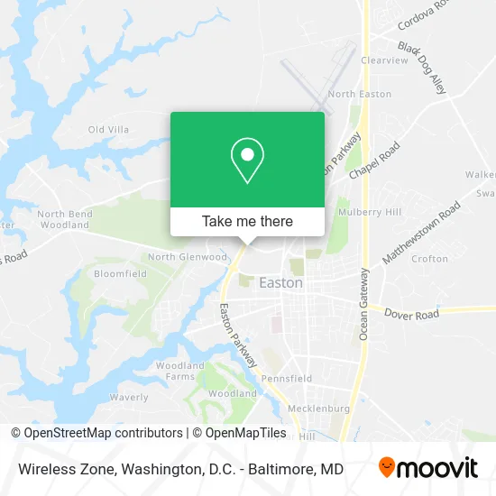
See Wireless Zone, Talbot County, on the map
Public Transit to Wireless Zone in Talbot County
Wondering how to get to Wireless Zone in Talbot County? Moovit helps you find the best way to get to Wireless Zone with step-by-step directions from the nearest public transit station.
Moovit provides free maps and live directions to help you navigate through your city. View schedules, routes, timetables, and find out how long does it take to get to Wireless Zone in real time.
Looking for the nearest stop or station to Wireless Zone? Check out this list of stops closest to your destination: Acme - Easton; 301 Bay St. (Social Services) Easton; Target; Corner Carry Out.
Bus: C, WALMART - TOWN PARKING LOT, HIGH & CHOPTANK - WALMART, D, HAPS BUILDING - WALMART.
Want to see if there’s another route that gets you there at an earlier time? Moovit helps you find alternative routes or times. Get directions from and directions to Wireless Zone easily from the Moovit App or Website.
We make riding to Wireless Zone easy, which is why over 1.5 million users, including users in Talbot County, trust Moovit as the best app for public transit. You don’t need to download an individual bus app or train app, Moovit is your all-in-one transit app that helps you find the best bus time or train time available.
For information on prices of bus, costs and ride fares to Wireless Zone, please check the Moovit app.
Use the app to navigate to popular places including to the airport, hospital, stadium, grocery store, mall, coffee shop, school, college, and university.
Wireless Zone Address: 220 Marlboro Ave Easton, MD 21601 street in Talbot County
- Tropical Smoothie Cafe,
- Coinstar - Bitcoin ATM,
- Talbot Bank of Easton,
- Easton Cafe,
- Snifter's Bistro,
- Exxon,
- Genisis Pizza,
- Bay Country Financial Services,
- All in the Mix Bakeshop, LLC,
- Mail Boxes Etc,
- 4 Dogs Brewing & Pub,
- Martha G Russell Certified Public Acc,
- Eastern Shore Rug Cleaning,
- Eastern Shore Ship Print Connect,
- Maryland State Government,
- Human Resources Child Care Adm,
- USPS Collection Box - Blue Box,
- Maverick Transport,
- US Navy Recruiter,
- Amish Market
Places Near Wireless Zone (Talbot County)
- Amazon Hq2, Arlington County,
- Basilica of the National Shrine, Washington,
- Washington National Cathedral, Washington,
- National Theatre, Washington,
- Pennsylvania Ave NW (3rd st and pennsylvania), Washington,
- M&T Bank Stadium, Baltimore,
- The Anthem, Washington,
- Warner Theatre, Washington,
- Marriott Marquis Washington, DC, Washington,
- Museum Of The Bible, Washington,
- Camden Yards, Baltimore,
- PG Mall, Prince George's County,
- Rock Creek Tennis Center, Washington,
- National Museum of African American History and Culture, Washington,
- Georgetown, Washington,
- Sibley Memorial Hospital, Washington,
- Westfield Montgomery Mall, Montgomery County,
- National Zoo, Washington,
- Capital One Arena, Washington,
- Washington DC VA Medical Center, Washington
How to get to popular places in Washington, D.C. - Baltimore, MD with public transit
Get around Talbot County by public transit!
Traveling around Talbot County has never been so easy. See step by step directions as you travel to any attraction, street or major public transit station. View bus and train schedules, arrival times, service alerts and detailed routes on a map, so you know exactly how to get to anywhere in Talbot County.
When traveling to any destination around Talbot County use Moovit's Live Directions with Get Off Notifications to know exactly where and how far to walk, how long to wait for your line, and how many stops are left. Moovit will alert you when it's time to get off — no need to constantly re-check whether yours is the next stop.
Wondering how to use public transit in Talbot County or how to pay for public transit in Talbot County? Moovit public transit app can help you navigate your way with public transit easily, and at minimum cost. It includes public transit fees, ticket prices, and costs. Looking for a map of Talbot County public transit lines? Moovit public transit app shows all public transit maps in Talbot County with all Bus, Train, Metro, Light Rail and Ferry routes and stops on an interactive map.
Washington, D.C. - Baltimore, MD has 5 transit type(s), including: Bus, Train, Metro, Light Rail and Ferry, operated by several transit agencies, including WMATA, Montgomery County Ride On, Fairfax Connector, TheBus, PRTC, DASH - Alexandria, Arlington Transit (ART), RTA of Central Maryland, MDOT MTA, MDOT MTA Light RailLink, MDOT MTA Commuter Bus, MDOT MTA Local Bus, FXBGO!, Virginia Railway Express (VRE) and MARC