Directions to Wright Insurance Agency (Stamford) with public transportation
The following transit lines have routes that pass near Wright Insurance Agency
 Bus: 333, 334.
- Train: 3, 4, ACELA, COMMUTER RAIL, NORTHEAST REGIONAL.
How to get to Wright Insurance Agency by bus?
Click on the bus route to see step by step directions with maps, line arrival times and updated time schedules.
From New Rochelle, NY, New Rochelle
131 minFrom the bee-line system Bus Stop - Rye Playland (13, 75, 91), Rye
127 minFrom Mamaroneck NY, Mamaroneck
83 minFrom Regeneron Pharmaceuticals Inc, Tarrytown
105 minFrom White Plains, NY, White Plains
58 minFrom The Sono Collection, Norwalk
65 minFrom Port Chester, NY, Port Chester
75 minFrom Westchester Mall, White Plains
59 minFrom Rye Playland, Rye
128 min
How to get to Wright Insurance Agency by train?
Click on the train route to see step by step directions with maps, line arrival times and updated time schedules.
Bus stop near Wright Insurance Agency in Stamford
- Newfiled Ave @ Opp Dorlen Rd, 1 min walk,VIEW
Train station near Wright Insurance Agency in Stamford
- Stamford, 35 min walk,VIEW
Bus lines to Wright Insurance Agency in Stamford
- 333, 333 - Newfield Ave-Stamford Trans Ctr,VIEW
What are the closest stations to Wright Insurance Agency?
The closest stations to Wright Insurance Agency are:
- Newfiled Ave @ Opp Dorlen Rd is 33 yards away, 1 min walk.
- Stamford is 2911 yards away, 35 min walk.
Which bus lines stop near Wright Insurance Agency?
These bus lines stop near Wright Insurance Agency: 333, 334.
Which train lines stop near Wright Insurance Agency?
These train lines stop near Wright Insurance Agency: 3, 4.
What’s the nearest bus station to Wright Insurance Agency in Stamford?
The nearest bus station to Wright Insurance Agency in Stamford is Newfiled Ave @ Opp Dorlen Rd. It’s a 1 min walk away.
What time is the first train to Wright Insurance Agency in Stamford?
The 3 is the first train that goes to Wright Insurance Agency in Stamford. It stops nearby at 3:02 AM.
What time is the last train to Wright Insurance Agency in Stamford?
The 3 is the last train that goes to Wright Insurance Agency in Stamford. It stops nearby at 3:02 AM.
What time is the first bus to Wright Insurance Agency in Stamford?
The 333 is the first bus that goes to Wright Insurance Agency in Stamford. It stops nearby at 6:25 AM.
What time is the last bus to Wright Insurance Agency in Stamford?
The 333 is the last bus that goes to Wright Insurance Agency in Stamford. It stops nearby at 11:24 PM.
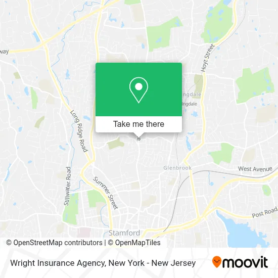
See Wright Insurance Agency, Stamford, on the map
Public Transit to Wright Insurance Agency in Stamford
Wondering how to get to Wright Insurance Agency in Stamford? Moovit helps you find the best way to get to Wright Insurance Agency with step-by-step directions from the nearest public transit station.
Moovit provides free maps and live directions to help you navigate through your city. View schedules, routes, timetables, and find out how long does it take to get to Wright Insurance Agency in real time.
Looking for the nearest stop or station to Wright Insurance Agency? Check out this list of stops closest to your destination: Newfiled Ave @ Opp Dorlen Rd; Stamford.
Bus: 333, 334.Train: 3, 4, ACELA, COMMUTER RAIL, NORTHEAST REGIONAL, VERMONTER.
Want to see if there’s another route that gets you there at an earlier time? Moovit helps you find alternative routes or times. Get directions from and directions to Wright Insurance Agency easily from the Moovit App or Website.
We make riding to Wright Insurance Agency easy, which is why over 1.5 million users, including users in Stamford, trust Moovit as the best app for public transit. You don’t need to download an individual bus app or train app, Moovit is your all-in-one transit app that helps you find the best bus time or train time available.
For information on prices of bus and train, costs and ride fares to Wright Insurance Agency, please check the Moovit app.
Use the app to navigate to popular places including to the airport, hospital, stadium, grocery store, mall, coffee shop, school, college, and university.
Wright Insurance Agency Address: 543 Newfield Ave street in Stamford
- Riko's Pizza,
- Lakeside Pottery Ceramic School and Studio,
- Newfield Dental,
- Suzanne Malloy Zaleski: Allstate Insurance,
- Patty Storms Art,
- Primecare Medical - Newfield Avenue,
- Cvs,
- Stamford Health Medical Group Primary Care,
- Chase Mortgage,
- Vandamm Interiors,
- Mo & Sons Tree Care,
- Sunoco Gas Station,
- Yis Youth,
- Two Maids,
- Forever Young,
- William Hines Studio,
- Perspire Sauna Studio Stamford,
- Stamford Laundromats- Newfield,
- Danie St Victor Haircuts,
- Newfield Dental
Places Near Wright Insurance Agency (Stamford)
- Bellevue Hospital, Manhattan,
- 3 Stone St, Manhattan,
- 1 Police Plaza, Manhattan,
- Chinatown, Manhattan,
- Mountainside Hospital, Glen Ridge,
- Hudson Yards, Manhattan,
- SoHo, Manhattan,
- Queens Center Mall, Queens,
- 376 Hudson Street, Manhattan,
- 111 Centre New York City Supreme Court, Manhattan,
- 66 John Street, Manhattan,
- Pier 83, Manhattan,
- 26 Federal Plaza, Manhattan,
- 911 Memorial, Manhattan,
- Rockefeller Center, Manhattan,
- Wall Street, Manhattan,
- Times Square, Manhattan,
- qqqq, Manhattan,
- San Gennaro Feast, Manhattan,
- Katz's Deli, Manhattan
How to get to popular places in New York - New Jersey with public transit
Get around Stamford by public transit!
Traveling around Stamford has never been so easy. See step by step directions as you travel to any attraction, street or major public transit station. View bus and train schedules, arrival times, service alerts and detailed routes on a map, so you know exactly how to get to anywhere in Stamford.
When traveling to any destination around Stamford use Moovit's Live Directions with Get Off Notifications to know exactly where and how far to walk, how long to wait for your line, and how many stops are left. Moovit will alert you when it's time to get off — no need to constantly re-check whether yours is the next stop.
Wondering how to use public transit in Stamford or how to pay for public transit in Stamford? Moovit public transit app can help you navigate your way with public transit easily, and at minimum cost. It includes public transit fees, ticket prices, and costs. Looking for a map of Stamford public transit lines? Moovit public transit app shows all public transit maps in Stamford with all Bus, Train, Subway, Light Rail, Ferry and Cable Car routes and stops on an interactive map.
New York - New Jersey has 6 transit type(s), including: Bus, Train, Subway, Light Rail, Ferry and Cable Car, operated by several transit agencies, including MTA Subway, Metro-North Railroad, LIRR, PATH, MTA New York City Transit - Express routes, MTA Bus, NJ Transit, NYC Ferry, NICE bus, Bee-Line Bus, NJ Transit Rail, Norwalk Transit District, Hartford Line, River Valley Transit and HART