How to get to Xfinity by bus?
Click on the bus route to see step by step directions with maps, line arrival times and updated time schedules.
From C&O Canal Towpath, Washington
84 minFrom Lincoln Theatre, Washington
66 minFrom U Street Metro Station, Washington
67 minFrom 17th St NW, Washington
63 minFrom Franklin Hall, Washington
65 minFrom MedStar Washington Hospital Center, Washington
77 minFrom Howard University, Washington
69 minFrom Rock Creek Park, Washington
66 minFrom Embassy of France, Washington
70 minFrom Childrens Hospital, Washington
71 min
How to get to Xfinity by metro?
Click on the metro route to see step by step directions with maps, line arrival times and updated time schedules.
Bus stops near Xfinity in Montgomery County
Bus lines to Xfinity in Montgomery County
What are the closest stations to Xfinity?
The closest stations to Xfinity are:
- Old Georgetown Rd & Cordell Ave is 257 yards away, 4 min walk.
- Woodmont Av+Cheltenham Dr is 375 yards away, 5 min walk.
- Old Georgetown Rd & Fairmont Ave is 443 yards away, 6 min walk.
- Wilson Ln & Old Georgetown Rd is 453 yards away, 6 min walk.
Which bus lines stop near Xfinity?
These bus lines stop near Xfinity: 29, 30, 47, D96, M70.
Which metro line stops near Xfinity?
RED (Shady Grove)
What’s the nearest bus station to Xfinity in Montgomery County?
The nearest bus station to Xfinity in Montgomery County is Old Georgetown Rd & Cordell Ave. It’s a 4 min walk away.
What time is the first bus to Xfinity in Montgomery County?
The M70 is the first bus that goes to Xfinity in Montgomery County. It stops nearby at 4:56 AM.
What time is the last bus to Xfinity in Montgomery County?
The M70 is the last bus that goes to Xfinity in Montgomery County. It stops nearby at 2:01 AM.
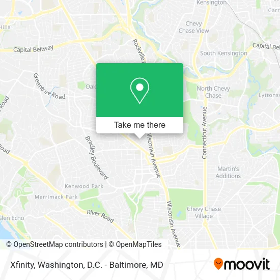
See Xfinity, Montgomery County, on the map
Public Transit to Xfinity in Montgomery County
Wondering how to get to Xfinity in Montgomery County? Moovit helps you find the best way to get to Xfinity with step-by-step directions from the nearest public transit station.
Moovit provides free maps and live directions to help you navigate through your city. View schedules, routes, timetables, and find out how long does it take to get to Xfinity in real time.
Looking for the nearest stop or station to Xfinity? Check out this list of stops closest to your destination: Old Georgetown Rd & Cordell Ave; Woodmont Av+Cheltenham Dr; Old Georgetown Rd & Fairmont Ave; Wilson Ln & Old Georgetown Rd.
Bus: 29, 30, 47, D96, M70, 34, 70, 32.Metro: RED.
Want to see if there’s another route that gets you there at an earlier time? Moovit helps you find alternative routes or times. Get directions from and directions to Xfinity easily from the Moovit App or Website.
We make riding to Xfinity easy, which is why over 1.5 million users, including users in Montgomery County, trust Moovit as the best app for public transit. You don’t need to download an individual bus app or train app, Moovit is your all-in-one transit app that helps you find the best bus time or train time available.
For information on prices of bus and metro, costs and ride fares to Xfinity, please check the Moovit app.
Use the app to navigate to popular places including to the airport, hospital, stadium, grocery store, mall, coffee shop, school, college, and university.
Xfinity Address: 4903 Del Ray Ave Bethesda, MD 20814 street in Montgomery County
- All Day & Night Emergency Locksmith,
- Individual Counseling Couples Counseling Parent Consulting,
- Paul,
- Metropolitan Washington Renal Dialysis Center,
- Cohn Counseling,
- National Board Certified Career Counselor,
- Promove Pt Pain Specialists,
- Bethesda Maryland,
- Quantum Companies,
- All Realty Enterprises,
- Capital Auction Experts,
- Claiborne Construction Office,
- Bethesda Appliance Repair,
- Sportsplex Metuche,
- Capitol Cigar and Tobacco,
- Mulan Healthy Spa,
- Imagination Stage,
- Tommy Joe's,
- Friend of Rodger B.,
- The Hive MD
Places Near Xfinity (Montgomery County)
- National Museum of African American History and Culture, Washington,
- Basilica of the National Shrine, Washington,
- National Zoo, Washington,
- Amazon Hq2, Arlington County,
- Westfield Montgomery Mall, Montgomery County,
- Museum Of The Bible, Washington,
- PG Mall, Prince George's County,
- Warner Theatre, Washington,
- Camden Yards, Baltimore,
- M&T Bank Stadium, Baltimore,
- Pennsylvania Ave NW (3rd st and pennsylvania), Washington,
- Washington National Cathedral, Washington,
- National Mall, Washington,
- Rock Creek Tennis Center, Washington,
- Sibley Memorial Hospital, Washington,
- Washington DC VA Medical Center, Washington,
- The Anthem, Washington,
- Georgetown, Washington,
- Capital One Arena, Washington,
- Marriott Marquis Washington, DC, Washington
How to get to popular places in Washington, D.C. - Baltimore, MD with public transit
Get around Montgomery County by public transit!
Traveling around Montgomery County has never been so easy. See step by step directions as you travel to any attraction, street or major public transit station. View bus and train schedules, arrival times, service alerts and detailed routes on a map, so you know exactly how to get to anywhere in Montgomery County.
When traveling to any destination around Montgomery County use Moovit's Live Directions with Get Off Notifications to know exactly where and how far to walk, how long to wait for your line, and how many stops are left. Moovit will alert you when it's time to get off — no need to constantly re-check whether yours is the next stop.
Wondering how to use public transit in Montgomery County or how to pay for public transit in Montgomery County? Moovit public transit app can help you navigate your way with public transit easily, and at minimum cost. It includes public transit fees, ticket prices, and costs. Looking for a map of Montgomery County public transit lines? Moovit public transit app shows all public transit maps in Montgomery County with all Bus, Train, Metro, Light Rail and Ferry routes and stops on an interactive map.
Washington, D.C. - Baltimore, MD has 5 transit type(s), including: Bus, Train, Metro, Light Rail and Ferry, operated by several transit agencies, including WMATA, Montgomery County Ride On, Fairfax Connector, TheBus, PRTC, DASH - Alexandria, Arlington Transit (ART), RTA of Central Maryland, MDOT MTA, MDOT MTA Light RailLink, MDOT MTA Commuter Bus, MDOT MTA Local Bus, FXBGO!, Virginia Railway Express (VRE) and MARC