How to get to Yaara Da Junction by bus?
Click on the bus route to see step by step directions with maps, line arrival times and updated time schedules.
From Panchshil Business Park, Pune & Velhe
91 minFrom Chaphekar Chowk, Pune & Velhe
72 minFrom Zudio, Pune & Velhe
86 minFrom Vishal Nagar, Pune & Velhe
91 minFrom Hinjawadi Phase 1, Paud
54 minFrom S.B. Patil College of Science & Commerce - SBPCSC, Pune & Velhe
96 minFrom Mukai Chowk, Kiwale Terminal, Pune & Velhe
88 minFrom Prabhavee Tech Park, Pune & Velhe
83 minFrom Amar Business Park, Paud
73 min
Bus stop near Yaara Da Junction in Paud
- Hinjawadi Hills Society Dattawadi, 4 min walk,VIEW
Bus lines to Yaara Da Junction in Paud
- 306A, Hinjawadi Hills Society Dattawadi,VIEW
What are the closest stations to Yaara Da Junction?
The closest stations to Yaara Da Junction are:
- Hinjawadi Hills Society Dattawadi is 285 meters away, 4 min walk.
Which bus line stops near Yaara Da Junction?
313 (Chandkhed)
What’s the nearest bus station to Yaara Da Junction in Paud?
The nearest bus station to Yaara Da Junction in Paud is Hinjawadi Hills Society Dattawadi. It’s a 4 min walk away.
What time is the first bus to Yaara Da Junction in Paud?
The 306A is the first bus that goes to Yaara Da Junction in Paud. It stops nearby at 8:24 AM.
What time is the last bus to Yaara Da Junction in Paud?
The 306A is the last bus that goes to Yaara Da Junction in Paud. It stops nearby at 7:36 PM.
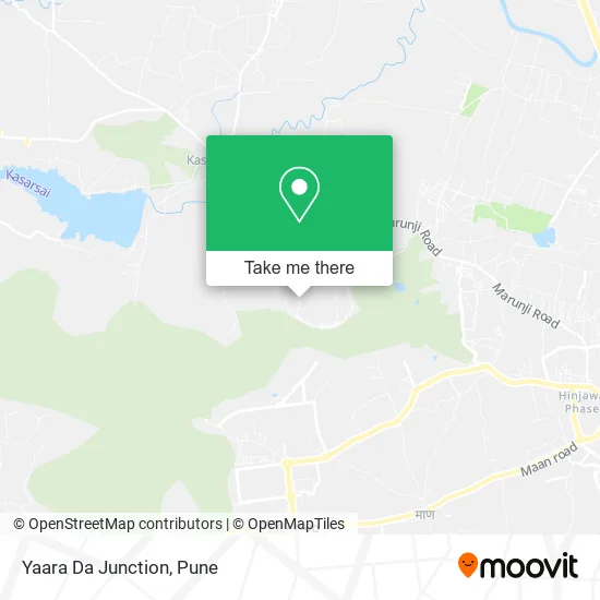
See Yaara Da Junction, Paud, on the map
Public Transit to Yaara Da Junction in Paud
Wondering how to get to Yaara Da Junction in Paud? Moovit helps you find the best way to get to Yaara Da Junction with step-by-step directions from the nearest public transit station.
Moovit provides free maps and live directions to help you navigate through your city. View schedules, routes, timetables, and find out how long does it take to get to Yaara Da Junction in real time.
Looking for the nearest stop or station to Yaara Da Junction? Check out this list of stops closest to your destination: Hinjawadi Hills Society Dattawadi.
Bus: 313, 306A.
Want to see if there’s another route that gets you there at an earlier time? Moovit helps you find alternative routes or times. Get directions from and directions to Yaara Da Junction easily from the Moovit App or Website.
We make riding to Yaara Da Junction easy, which is why over 1.5 million users, including users in Paud, trust Moovit as the best app for public transit. You don’t need to download an individual bus app or train app, Moovit is your all-in-one transit app that helps you find the best bus time or train time available.
For information on prices of bus, costs and ride fares to Yaara Da Junction, please check the Moovit app.
Use the app to navigate to popular places including to the airport, hospital, stadium, grocery store, mall, coffee shop, school, college, and university.
Yaara Da Junction Address: मुलशी 411057 MH street in Paud
- Xrbia Hinjewadi Township,
- A1 Chinese Restaurant,
- Xrbia Hinjewadi,
- Eiffel Silicon City A5,
- Hinjawadi Hills,
- Blueparadise Foodbox Services,
- Xrbia Hinjewadi,
- C4 Building Xrbia Hinjewadi Township,
- D1 Building Xrbia Township,
- Bank Of Maharashtra ATM,
- Apollo Pharmacy,
- Capgemini, Hinjawadi Phase III,
- Capgemini India,
- Rajiv Gandhi Park,
- Cognizant CDC,
- 333 Dhamale's Food Industry,
- Cognizant Deccan Campus (CDC),
- Capgemini Employee Relaxation Centre,
- Dhaniraj School,
- Hotel Chandai
Places Near Yaara Da Junction (Paud)
- ISKCON Nvcc Temple, Pune & Velhe,
- Fc Road, Pune & Velhe,
- Dagdusheth Halwai Ganpati Mandir, Pune & Velhe,
- Laxmi Road, Pune & Velhe,
- Pvr Icon - Pavilion Mall, Pune & Velhe,
- Symbiosis Lavale Bus Stop, Pune & Velhe,
- Dagadusheth Halwai Ganapati Temple, Pune & Velhe,
- Vishwakarma Institute Of Technology (Vit), Pune & Velhe,
- Tulshibaug, Pune & Velhe,
- Senapati Bapat Road, Pune & Velhe,
- Westend Mall, Pune & Velhe,
- Swaminarayan Mandir, Pune & Velhe,
- Raviwar Peth, Pune & Velhe,
- Pune Okayama Friendship Garden, Pune & Velhe,
- Chaturshringi Temple, Pune & Velhe,
- Sarasbaug, Pune & Velhe,
- Ion Digital Zone, Pune & Velhe,
- M G Road, Pune & Velhe,
- ISKCON Pune, Pune & Velhe,
- Cognizant Deccan Campus (CDC), Paud
How to get to popular places in Pune with public transit
Get around Paud by public transit!
Traveling around Paud has never been so easy. See step by step directions as you travel to any attraction, street or major public transit station. View bus and train schedules, arrival times, service alerts and detailed routes on a map, so you know exactly how to get to anywhere in Paud.
When traveling to any destination around Paud use Moovit's Live Directions with Get Off Notifications to know exactly where and how far to walk, how long to wait for your line, and how many stops are left. Moovit will alert you when it's time to get off — no need to constantly re-check whether yours is the next stop.
Wondering how to use public transit in Paud or how to pay for public transit in Paud? Moovit public transit app can help you navigate your way with public transit easily, and at minimum cost. It includes public transit fees, ticket prices, and costs. Looking for a map of Paud public transit lines? Moovit public transit app shows all public transit maps in Paud with all Bus, Train and Metro routes and stops on an interactive map.
Pune has 3 transit type(s), including: Bus, Train and Metro, operated by several transit agencies, including Pune Metro (Maha Metro), PMPML, PMPML Night Bus Service (Ratrani) and Central Railways (Indian Railways)