Yeşilyurt station - Tuesday schedule
| Line | Direction | Time |
|---|---|---|
| B1 | Halkalı | 6:09 AM |
| B1 | Gebze | 6:13 AM |
| B1 | Halkalı | 6:24 AM |
| B1 | Gebze | 6:28 AM |
| B1 | Halkalı | 6:42 AM |
| B1 | Gebze | 6:43 AM |
| B1 | Halkalı | 6:58 AM |
| B1 | Gebze | 6:58 AM |
| B1 | Gebze | 7:13 AM |
| B1 | Halkalı | 7:15 AM |
| B1 | Gebze | 7:28 AM |
| B1 | Halkalı | 7:31 AM |
| B1 | Halkalı | 7:35 AM |
| B1 | Gebze | 7:43 AM |
| B1 | Halkalı | 7:50 AM |
| B1 | Gebze | 7:58 AM |
| B1 | Halkalı | 8:05 AM |
| B1 | Gebze | 8:13 AM |
| B1 | Halkalı | 8:20 AM |
| B1 | Gebze | 8:28 AM |
| B1 | Halkalı | 8:35 AM |
| B1 | Gebze | 8:43 AM |
| B1 | Halkalı | 8:50 AM |
| B1 | Gebze | 8:58 AM |
| B1 | Halkalı | 9:05 AM |
Directions to Yeşilyurt station (Bakirköy) with public transit
The following transit lines have routes that pass near Yeşilyurt
 Bus: 72T, BN1, 73Y, 72YT.
- Metro: M3, M9.
- Train: B1.
- Dolmus & Minibus: A71, A42.
How to get to Yeşilyurt station by bus?
Click on the bus route to see step by step directions with maps, line arrival times and updated time schedules.
How to get to Yeşilyurt station by train?
Click on the train route to see step by step directions with maps, line arrival times and updated time schedules.
How to get to Yeşilyurt station by metro?
Click on the metro route to see step by step directions with maps, line arrival times and updated time schedules.
Dolmus & Minibus stations near Yeşilyurt station in Bakirköy
- Ataköy 5. Kısım, 1 min walk,
- Şehit Pilot Muzaffer Erdönmez Ortaokulu, 11 min walk,
Bus stops near Yeşilyurt stop in Bakirköy
- Yeşilyurt - Ataköy-Havaalani Yönü, 2 min walk,
- Yeşilyurt - Bakirköy Yönü, 2 min walk,
- Yeşilyurt Üst Geçit - Eminönü Yönü, 2 min walk,
Train stations near Yeşilyurt station in Bakirköy
- Yeşilköy, 18 min walk,
Bus lines to Yeşilyurt station in Bakirköy
- 73Y, İstanbul Akvaryum-Kuyumcukent,
- 72T, Yeşilköy-Harbiye Askeri Müze,
- 72YT, Yenikapı Etkinlik Alanı-İst. Üni. Cerrahpaşa Tıp Fak.,
- BN1, Mehmetçik Sokak-Eminönü Mısır Çarşısı,
What are the closest stations to Yeşilyurt?
The closest stations to Yeşilyurt are:
- Ataköy 5. Kısım station is 28 meters away, 1 min walk.
- Yeşilyurt - Ataköy-Havaalani Yönü stop is 104 meters away, 2 min walk.
- Yeşilyurt - Bakirköy Yönü stop is 111 meters away, 2 min walk.
- Yeşilyurt Üst Geçit - Eminönü Yönü stop is 117 meters away, 2 min walk.
- Şehit Pilot Muzaffer Erdönmez Ortaokulu station is 817 meters away, 11 min walk.
- Yeşilköy station is 1327 meters away, 18 min walk.
Which bus lines stop near Yeşilyurt?
These bus lines stop near Yeşilyurt: 72T, BN1.
Which metro lines stop near Yeşilyurt?
These metro lines stop near Yeşilyurt: M3, M9.
Which train line stops near Yeşilyurt?
B1 (Halkalı)
What’s the nearest train station to Yeşilyurt in Bakirköy?
The nearest train station to Yeşilyurt in Bakirköy is Yeşilköy. It’s a 18 min walk away.
What’s the nearest bus station to Yeşilyurt in Bakirköy?
The nearest bus stations to Yeşilyurt in Bakirköy are Yeşilyurt - Ataköy-Havaalani Yönü, Yeşilyurt - Bakirköy Yönü and Yeşilyurt Üst Geçit - Eminönü Yönü. The closest one is a 2 min walk away.
What’s the nearest Dolmus & Minibus station to Yeşilyurt in Bakirköy?
The nearest Dolmus & Minibus station to Yeşilyurt in Bakirköy is Ataköy 5. Kısım. It’s a 1 min walk away.
What time is the first train to Yeşilyurt in Bakirköy?
The B1 is the first train that goes to Yeşilyurt in Bakirköy. It stops nearby at 6:11 AM.
What time is the last train to Yeşilyurt in Bakirköy?
The B1 is the last train that goes to Yeşilyurt in Bakirköy. It stops nearby at 12:52 AM.
What time is the first bus to Yeşilyurt in Bakirköy?
The 72T is the first bus that goes to Yeşilyurt in Bakirköy. It stops nearby at 6:08 AM.
What time is the last bus to Yeşilyurt in Bakirköy?
The BN1 is the last bus that goes to Yeşilyurt in Bakirköy. It stops nearby at 2:09 AM.
What time is the first Dolmus & Minibus to Yeşilyurt in Bakirköy?
The A42 is the first Dolmus & Minibus that goes to Yeşilyurt in Bakirköy. It stops nearby at 6:02 AM.
What time is the last Dolmus & Minibus to Yeşilyurt in Bakirköy?
The A42 is the last Dolmus & Minibus that goes to Yeşilyurt in Bakirköy. It stops nearby at 12:02 AM.
Yeşilyurt station
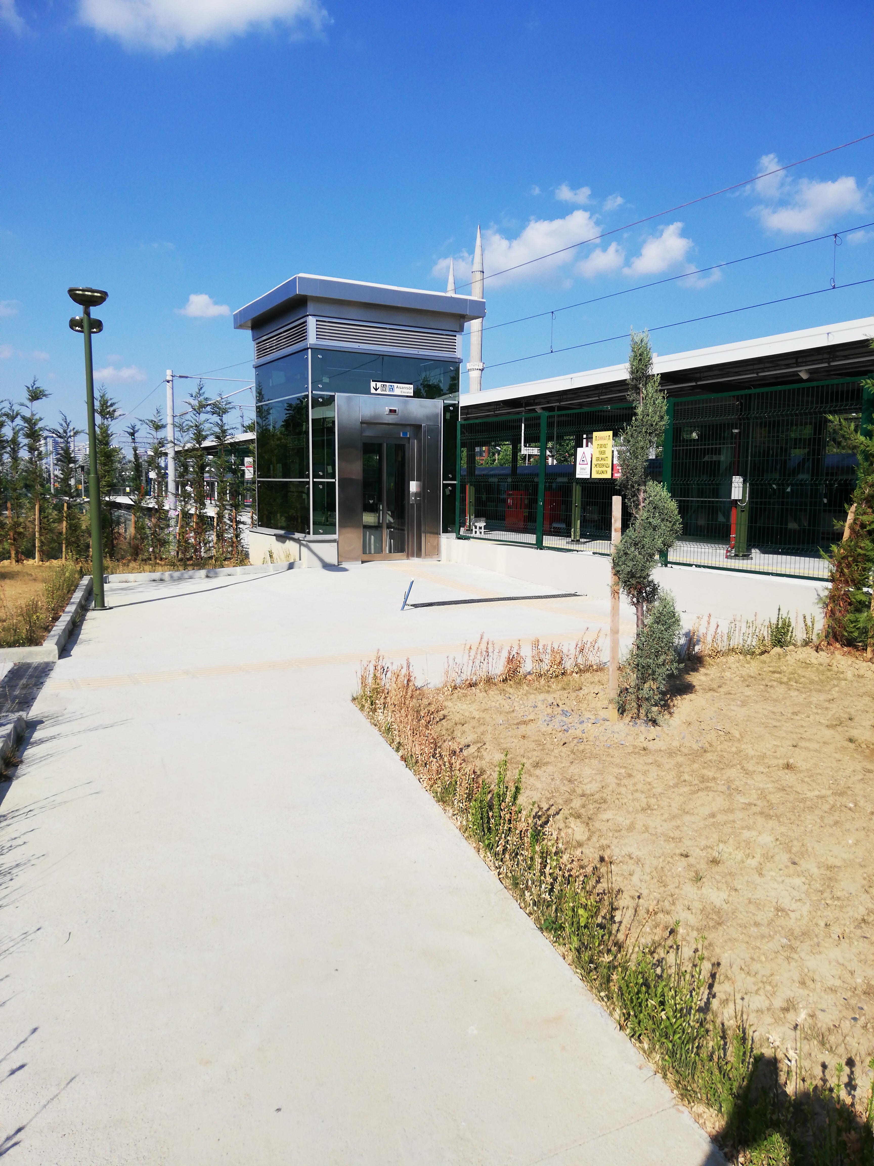 Taken by Anonymous
See Yeşilyurt station, Bakirköy, on the map
Public transit to Yeşilyurt station in Bakirköy
Looking for directions to Yeşilyurt in Bakirköy, Turkey?
Download the Moovit App to find the current schedule and step-by-step directions for Metro, Bus, Train, Dolmus & Minibus or Metrobus routes that pass through Yeşilyurt.
Looking for the nearest stops closest to Yeşilyurt ? Check out this list of closest stops to your destination: Ataköy 5. Kısım; Yeşilyurt - Ataköy-Havaalani Yönü; Yeşilyurt - Bakirköy Yönü; Yeşilyurt Üst Geçit - Eminönü Yönü; Şehit Pilot Muzaffer Erdönmez Ortaokulu; Yeşilköy.
Bus: 72T, BN1, 73Y, 72YT.Metro: M3, M9.Train: B1.Dolmus & Minibus: A71, A42.
We make riding on public transit to Yeşilyurt easy, which is why over 1.7 billion users, including users in Bakirköy trust Moovit as the best app for public transit.
Use the app to navigate to popular places including to the airport, hospital, stadium, grocery store, mall, coffee shop, school, college, and university.
The station has the following entrances: ♿Asansör (Eski Havaalanı Caddesi), Yeşilyurt İstasyon Cd., Eski Havalanı Cd. and ♿Asansör (Yeşilyurt İstasyon Caddesi)
The first line to this station is B1, at 6:09 AM, and the last line is B1 at 12:50 AM.
This station serves Marmaray’s lines
Popular routes from Yeşilyurt station, Bakirköy
- To Koç Üniversitesi Batı Kampüsü,
- To İstanbul Bilgi Üniversitesi Santral Kampüsü,
- To Beykent Üniversitesi,
- To Doğuş Üniversitesi Dudullu Yerleşkesi,
- To Piri Reis Üniversitesi,
- To Mef Üniversitesi,
- To İtü Gümüşsuyu Yerleşkesi,
- To Boğaziçi Üniversitesi Güney Yerleşkesi,
- To Medipol Üniversitesi Kavacık Yerleşkesi,
- To Bau Beşiktaş
- Ataköy 5. Kısım,
- Şehit Pilot Muzaffer Erdönmez Ortaokulu
Dolmus & Minibus stations near Yeşilyurt station
- Yeşilyurt - Ataköy-Havaalani Yönü,
- Yeşilyurt - Bakirköy Yönü,
- Yeşilyurt Üst Geçit - Eminönü Yönü
Bus stops near Yeşilyurt stop
- Yeşilköy
Train station near Yeşilyurt station
- Sultanbeyli Ağız Ve Diş Sağlığı Merkezi - Mimar Sinan Mahallesi Yönü,
- Ankaryum Sitesi,
- İstoç 8 Ada,
- Tosb 16. Sokak 2,
- Muallimköy Merkez Cami,
- Oğuzhan / Aksaray Yönü,
- 24 Kasım Anadolu Lisesi,
- Bereç - Gaziosmanpaşa Yönü,
- Üçyol,
- Ambarlı Kavşağı,
- Sgk İl Müdürlüğü D 100,
- Zeytinburnu - Son Durak Yönü,
- Kadınlar Pazarı,
- Yenidoğan D 100,
- Kocaeli Üniversitesi Kapalı Yüzme Havuzu 1,
- Yayalar - Şeyhli,
- Bilgi Üniversitesi - Sütlüce Yönü,
- Gebze Kapalı Spor Salonu,
- Doğu Kışla,
- Uluyol/Bereç
Popular public transit stations in Bakirköy
Get around Bakirköy by public transit!
Traveling around Bakirköy has never been so easy. See step by step directions as you travel to any attraction, street or major public transit station. View bus and train schedules, arrival times, service alerts and detailed routes on a map, so you know exactly how to get to anywhere in Bakirköy.
When traveling to any destination around Bakirköy use Moovit's Live Directions with Get Off Notifications to know exactly where and how far to walk, how long to wait for your line, and how many stops are left. Moovit will alert you when it's time to get off — no need to constantly re-check whether yours is the next stop.
Wondering how to use public transit in Bakirköy or how to pay for public transit in Bakirköy? Moovit public transit app can help you navigate your way with public transit easily, and at minimum cost. It includes public transit fees, ticket prices, and costs. Looking for a map of Bakirköy public transit lines? Moovit public transit app shows all public transit maps in Bakirköy with all Bus, Train, Metro, Tram, Ferry, Metrobus and Dolmus & Minibus routes and stops on an interactive map.
Istanbul has 7 transit type(s), including: Bus, Train, Metro, Tram, Ferry, Metrobus and Dolmus & Minibus, operated by several transit agencies, including Marmaray, Metro İstanbul, Metrobüs, UAB, İETT, İETT ÇIFT KATLI HATLAR, İETT BÖLGESEL HATLAR, TCDD, Şehir Hatları, Dentur Avrasya, Beyden, Turyol, Mavi Marmara, Havaist and Prenstur