Directions to Z80 Informatica (Boa Vista) with public transportation
The following transit lines have routes that pass near Z80 Informatica
How to get to Z80 Informatica by bus?
Click on the bus route to see step by step directions with maps, line arrival times and updated time schedules.
From Avenida Senador Salgado Filho, Guabirotuba
59 minFrom Rua General Mário Tourinho 1804, Seminário
65 minFrom Estação Tubo Paiol, Prado Velho
42 minFrom Rua Padre Anchieta, Bigorrilho
59 minFrom Rua Minas Gerais 261, Guaíra
67 minFrom Praça Da Espanha, Bigorrilho
51 minFrom Água Verde, Água Verde
57 minFrom Avenida Marechal Floriano Peixoto 2509, Parolin
52 minFrom Avenida República Argentina 1336, Vila Izabel
59 min
Bus stops near Z80 Informatica in Boa Vista
Bus lines to Z80 Informatica in Boa Vista
What are the closest stations to Z80 Informatica?
The closest stations to Z80 Informatica are:
- Rua Vicente Geronasso, 1257-1299 is 298 meters away, 4 min walk.
- R. Paolo Battan, 195 is 408 meters away, 6 min walk.
- R. Paolo Battan, 188 is 410 meters away, 6 min walk.
- R. Maria Madalena de Miranda Wolfart, 150 is 554 meters away, 8 min walk.
Which bus lines stop near Z80 Informatica?
These bus lines stop near Z80 Informatica: 226 ABAETÉ, 272 PAINEIRAS, 275 FERNANDO DE NORONHA / LARANJEIRAS.
What’s the nearest bus station to Z80 Informatica in Boa Vista?
The nearest bus station to Z80 Informatica in Boa Vista is Rua Vicente Geronasso, 1257-1299. It’s a 4 min walk away.
What time is the first bus to Z80 Informatica in Boa Vista?
The 229 MAD. PENHA / FERNANDO DE NORONHA is the first bus that goes to Z80 Informatica in Boa Vista. It stops nearby at 3:17 AM.
What time is the last bus to Z80 Informatica in Boa Vista?
The 229 MAD. PENHA / FERNANDO DE NORONHA is the last bus that goes to Z80 Informatica in Boa Vista. It stops nearby at 2:22 AM.
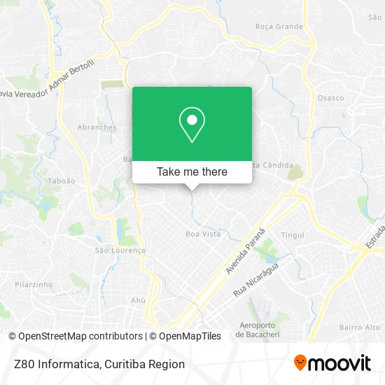
See Z80 Informatica, Boa Vista, on the map
Public Transit to Z80 Informatica in Boa Vista
Wondering how to get to Z80 Informatica in Boa Vista? Moovit helps you find the best way to get to Z80 Informatica with step-by-step directions from the nearest public transit station.
Moovit provides free maps and live directions to help you navigate through your city. View schedules, routes, timetables, and find out how long does it take to get to Z80 Informatica in real time.
Looking for the nearest stop or station to Z80 Informatica? Check out this list of stops closest to your destination: Rua Vicente Geronasso; R. Paolo Battan; R. Paolo Battan; R. Maria Madalena de Miranda Wolfart.
Bus: 226 ABAETÉ, 272 PAINEIRAS, 275 FERNANDO DE NORONHA / LARANJEIRAS, 229 MAD. PENHA / FERNANDO DE NORONHA.
Want to see if there’s another route that gets you there at an earlier time? Moovit helps you find alternative routes or times. Get directions from and directions to Z80 Informatica easily from the Moovit App or Website.
We make riding to Z80 Informatica easy, which is why over 1.5 million users, including users in Boa Vista, trust Moovit as the best app for public transit. You don’t need to download an individual bus app or train app, Moovit is your all-in-one transit app that helps you find the best bus time or train time available.
For information on prices of bus, costs and ride fares to Z80 Informatica, please check the Moovit app.
Use the app to navigate to popular places including to the airport, hospital, stadium, grocery store, mall, coffee shop, school, college, and university.
Z80 Informatica Address: Rua Luiza Lélia Gulin Geronasso, 484 Boa Vista Curitiba-PR 82650-260 street in Boa Vista
- Auto Peças Binotto,
- Condomínio Residencial Kamila Tereza Koehler,
- Rua Luiza Lélia Gulin Geronasso 2-64,
- Damasdoh Studio de Beleza,
- Brincae,
- Condominio Pedro Jorge da Cruz,
- Baepro Engenharia e Projetos,
- El Greco Comércio de Bebidas e Generos Alimenticios,
- Probimed,
- Gttr Bebidas,
- Ana Producoes,
- Garagem 928,
- Igreja Almas Para Cristo Restaurada - Boa Vista,
- CRAS-BOA VISTA,
- Debora Martins Banho e Tosa,
- Petiscaria do Kevinho,
- Deners Pan Produtos Alimentícios,
- Atual Montagem de Estandes,
- Fernanda Elisabeth Ferreira,
- Jose Carlos de Olveira
Places Near Z80 Informatica (Boa Vista)
- Rua Martim Afonso 558, Mercês,
- Jockey Plaza Shopping Center, Tarumã,
- Shopping Estação, Rebouças,
- Campo Largo, Campo,
- Hhhhh, Fazendinha,
- Shopping Palladium, Portão,
- Pontifícia Universidade Católica do Paraná (PUCPR), Prado Velho,
- Hospital de Clínicas (HC - UFPR), Centro,
- Hospital Universitário Evangélico de Curitiba, Bigorrilho,
- Hospital Nossa Senhora Das Graças, Mercês,
- Rua General Mário Tourinho, Campina Do Siqueira,
- Hospital Angelina Caron, Campina Grande Do Sul,
- Hospital Da Cruz Vermelha, Batel,
- Hospital Erasto Gaertner, Jardim Das Américas,
- Jardim Botânico de Curitiba PR, Centro,
- Hospital Madalena Sofia, Bairro Alto,
- Parque Barigui, Mercês,
- Arena Da Baixada - Curitiba,
- Hospital do Rocio, Campo,
- Park Shopping Barigüi, Mossunguê
How to get to popular places in Curitiba Region with public transit
Get around Boa Vista by public transit!
Traveling around Boa Vista has never been so easy. See step by step directions as you travel to any attraction, street or major public transit station. View bus and train schedules, arrival times, service alerts and detailed routes on a map, so you know exactly how to get to anywhere in Boa Vista.
When traveling to any destination around Boa Vista use Moovit's Live Directions with Get Off Notifications to know exactly where and how far to walk, how long to wait for your line, and how many stops are left. Moovit will alert you when it's time to get off — no need to constantly re-check whether yours is the next stop.
Wondering how to use public transit in Boa Vista or how to pay for public transit in Boa Vista? Moovit public transit app can help you navigate your way with public transit easily, and at minimum cost. It includes public transit fees, ticket prices, and costs. Looking for a map of Boa Vista public transit lines? Moovit public transit app shows all public transit maps in Boa Vista with all Bus and Cable Car routes and stops on an interactive map.
Curitiba Region has 2 transit type(s), including: Bus and Cable Car, operated by several transit agencies, including Sistema Integrado de Mobilidade (URBS), Sistema Integrado de Mobilidade (AMEP), URBS (Cartões bancários e Dinheiro), URBS (Cartões bancários / Cartão URBS), AMEP (Cartões bancários / Cartão MetroCard), AMEP (Cartões bancários / Cartão MetroCard / Dinheiro), Viação Colombo (Dinheiro), TRIAR (Cartão TRIAR / Dinheiro), Empresa Curitiba Cerro Azul (Dinheiro), Expresso Nossa Senhora da Penha (Dinheiro), Empresa Campo Alto Tijucas (Dinheiro), Auto Viação São José (Cartão VEM / Dinheiro), BRT S/A (Cartão VEM / Dinheiro), TransPiedade (Cartão Cidadão / Dinheiro) and Oceânica Sul (Cartão Transporte / Dinheiro)