How to get to ZI HAN by bus?
Click on the bus route to see step by step directions with maps, line arrival times and updated time schedules.
From Juzizhou Head - Sightseeing Electric Vehicle Ticket Office, Yuelu District
46 minFrom Fuji Century Park, Wangcheng District
53 minFrom Yuelu Mountain Scenic Area Yuelu Academy - Parking Lot, Yuelu District
57 minFrom Intersection of Xiangjiang Middle Road and Xiangya Road, Yuelu District
48 minFrom Xiangjiang (Ferry Station), Yuelu District
42 minFrom Xi Yu Badminton Hall, Yuelu District
49 minFrom Central South University Xiangya Medical College - South Gate, Yuelu District
31 minFrom HIB HUB Community (Changsha Jiefang West Road Branch), Yuelu District
40 minFrom Changsha Zhonghai International Community - Phase 3, Wangcheng District
61 minFrom Runhe Central Plaza, Wangcheng District
55 min
How to get to ZI HAN by metro?
Click on the metro route to see step by step directions with maps, line arrival times and updated time schedules.
From Juzizhou Head - Sightseeing Electric Vehicle Ticket Office, Yuelu District
57 minFrom Yuelu Mountain Scenic Area Yuelu Academy - Parking Lot, Yuelu District
76 minFrom Intersection of Xiangjiang Middle Road and Xiangya Road, Yuelu District
72 minFrom Xiangjiang (Ferry Station), Yuelu District
67 minFrom Xi Yu Badminton Hall, Yuelu District
75 minFrom Central South University Xiangya Medical College - South Gate, Yuelu District
85 minFrom HIB HUB Community (Changsha Jiefang West Road Branch), Yuelu District
68 minFrom Runhe Central Plaza, Wangcheng District
98 min
Bus stops near ZI HAN in Yuelu District
Metro station near ZI HAN in Yuelu District
- Meixi Lake West, 33 min walk,VIEW
Bus lines to ZI HAN in Yuelu District
What are the closest stations to ZI HAN?
The closest stations to ZI HAN are:
- Foreign Affairs West Gate is 20 meters away, 2 min walk.
- Lusong Road Wenxuan Intersection is 392 meters away, 6 min walk.
- Wenxuan Road Lusong Road Junction is 450 meters away, 7 min walk.
- Qicai Road Changtang Road Intersection is 580 meters away, 8 min walk.
- Meixi Lake West is 2519 meters away, 33 min walk.
Which bus lines stop near ZI HAN?
These bus lines stop near ZI HAN: Route 18, Route 916.
Which metro line stops near ZI HAN?
Line 2 (Meixi Lake West)
What’s the nearest bus station to ZI HAN in Yuelu District?
The nearest bus station to ZI HAN in Yuelu District is Foreign Affairs West Gate. It’s a 2 min walk away.
What time is the first metro to ZI HAN in Yuelu District?
The Line 2 is the first metro that goes to ZI HAN in Yuelu District. It stops nearby at 6:30 AM.
What time is the last metro to ZI HAN in Yuelu District?
The Line 2 is the last metro that goes to ZI HAN in Yuelu District. It stops nearby at 11:45 PM.
What time is the first bus to ZI HAN in Yuelu District?
The Route 18 is the first bus that goes to ZI HAN in Yuelu District. It stops nearby at 6:05 AM.
What time is the last bus to ZI HAN in Yuelu District?
The Route W115 is the last bus that goes to ZI HAN in Yuelu District. It stops nearby at 9:44 PM.
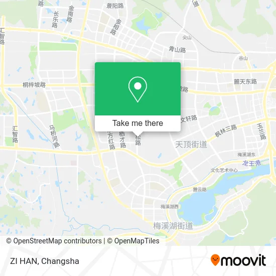
See ZI HAN, Yuelu District, on the map
Public Transit to ZI HAN in Yuelu District
Wondering how to get to ZI HAN in Yuelu District? Moovit helps you find the best way to get to ZI HAN with step-by-step directions from the nearest public transit station.
Moovit provides free maps and live directions to help you navigate through your city. View schedules, routes, timetables, and find out how long does it take to get to ZI HAN in real time.
Looking for the nearest stop or station to ZI HAN? Check out this list of stops closest to your destination: Foreign Affairs West Gate; Lusong Road Wenxuan Intersection; Wenxuan Road Lusong Road Junction; Qicai Road Changtang Road Intersection; Meixi Lake West.
Bus: Route 18, Route 916, Route 18, Route 916, High-Tech Park Shuttle, Shuttle Bus Line 3, Route 312, Route W115.Metro: Line 2, Line 2.
Want to see if there’s another route that gets you there at an earlier time? Moovit helps you find alternative routes or times. Get directions from and directions to ZI HAN easily from the Moovit App or Website.
We make riding to ZI HAN easy, which is why over 1.5 million users, including users in Yuelu District, trust Moovit as the best app for public transit. You don’t need to download an individual bus app or train app, Moovit is your all-in-one transit app that helps you find the best bus time or train time available.
For information on prices of bus and metro, costs and ride fares to ZI HAN, please check the Moovit app.
Use the app to navigate to popular places including to the airport, hospital, stadium, grocery store, mall, coffee shop, school, college, and university.
ZI HAN Address: 长塘路与麓松路交叉口东南50米 street in Yuelu District
- Yannong Community,
- Three Ants Leisure Bar (Tianyuan Colorful Branch),
- Intersection of Changtang Road and Lusong Road,
- Tianyuan Seven Colors Business Center (West Gate),
- Red Dragonfly (Lusong Road),
- Italian Ship King,
- Yibu Ying,
- Old Iron's Hamburger,
- Immersive 7D Multi-Person Interactive Cinema,
- Garden Residential Complex,
- China Mobile Mobile Phone Specialty Store (Yu Zhi Mo Branch),
- High-tech Zone Boyou Auto Repair Factory,
- Lugu Phase 5 Changfeng Community - Building 34,
- Haikun Construction Engineering,
- Foreign Materials Store,
- Ant Star Factory,
- Jiao Feng (Changsha Lugu Phase 5 Store),
- Dongtang Nanfeng Port Resettlement Residential Complex - Building 1,
- Wu's Rice Noodle Roll (Foreign Affairs Branch),
- Furong Prosperous Convenience Supermarket (Zhang Xueyong Food Store)
Places Near ZI HAN (Yuelu District)
- Hunan Provincial Museum - Multipurpose Hall, Kaifu District,
- National University of Defense Technology (North Gate), Kaifu District,
- Changsha South Station, Yuhua District,
- Xingsha Police Station Songya Community Police Room, Changsha County,
- First Club, Kaifu District,
- Changsha Bank (Sifang Branch), Kaifu District,
- First Affiliated Hospital of Hunan University of Traditional Chinese Medicine - Outpatient Department, Yuhua District,
- Changsha South Station Square, Yuelu District,
- Changsha Bank ATM (Sifang Branch), Kaifu District,
- Changsha Yangming Mountain Funeral Home, Yuhua District,
- Hunan Province Tumor Hospital, Yuelu District,
- Du Fu River Pavilion, Tianxin District,
- Zhongnan University Xiangya Hospital, Kaifu District,
- Hunan University of Traditional Chinese Medicine First Affiliated Hospital, Yuhua District,
- Hunan Provincial Maternal and Child Health Hospital - Outpatient Department, Kaifu District,
- Desiqin City Square, Yuhua District,
- Wanjiali International Mall, Furong District,
- Central South University Xiangya Second Hospital, Furong District,
- Yuelu Mountain Juzizhou Tourist Area, Yuelu District,
- Apple Authorized Dealer (Sam Changsha Store), Yuhua District
How to get to popular places in Changsha with public transit
Get around Yuelu District by public transit!
Traveling around Yuelu District has never been so easy. See step by step directions as you travel to any attraction, street or major public transit station. View bus and train schedules, arrival times, service alerts and detailed routes on a map, so you know exactly how to get to anywhere in Yuelu District.
When traveling to any destination around Yuelu District use Moovit's Live Directions with Get Off Notifications to know exactly where and how far to walk, how long to wait for your line, and how many stops are left. Moovit will alert you when it's time to get off — no need to constantly re-check whether yours is the next stop.
Wondering how to use public transit in Yuelu District or how to pay for public transit in Yuelu District? Moovit public transit app can help you navigate your way with public transit easily, and at minimum cost. It includes public transit fees, ticket prices, and costs. Looking for a map of Yuelu District public transit lines? Moovit public transit app shows all public transit maps in Yuelu District with all Bus and Metro routes and stops on an interactive map.
Changsha has 2 transit type(s), including: Bus and Metro, operated by several transit agencies, including Changsha Metro and Changsha Bus Group