How to get to Zopa Meram by bus?
Click on the bus route to see step by step directions with maps, line arrival times and updated time schedules.
From 28 Tasra Dede Hattı, Karatay
63 minFrom Özel Medova Hastanesi, Selçuklu
49 minFrom Hatıp Caddesi, Meram
51 minFrom Parsana Mah., Selçuklu
69 minFrom Hamzaoğlu Mahallesi, Selçuklu
38 minFrom Zafer Sanayi, Selçuklu
72 minFrom Konya 12. İcra Müdürlüğü, Selçuklu
55 minFrom Buhara Mah Barış Cad., Selçuklu
48 minFrom konya karapınar yolu, Selçuklu
61 minFrom Büsan Sanayi, Selçuklu
57 min
Bus stops near Zopa Meram in Selçuklu
Light Rail stations near Zopa Meram in Selçuklu
Bus lines to Zopa Meram in Selçuklu
What are the closest stations to Zopa Meram?
The closest stations to Zopa Meram are:
- Eğitim Fakültesi is 339 meters away, 5 min walk.
- Necmettin Erbakan is 429 meters away, 6 min walk.
- Trafik Parkı is 439 meters away, 6 min walk.
- Nalçacı (T27) is 1406 meters away, 19 min walk.
- Alaaddin (T31) is 4135 meters away, 53 min walk.
Which bus lines stop near Zopa Meram?
These bus lines stop near Zopa Meram: 10-A, 4-A, 4-B, 52-A.
What’s the nearest light rail station to Zopa Meram in Selçuklu?
The nearest light rail station to Zopa Meram in Selçuklu is Nalçacı (T27). It’s a 19 min walk away.
What’s the nearest bus station to Zopa Meram in Selçuklu?
The nearest bus station to Zopa Meram in Selçuklu is Eğitim Fakültesi. It’s a 5 min walk away.
What time is the first light rail to Zopa Meram in Selçuklu?
The 153-A is the first light rail that goes to Zopa Meram in Selçuklu. It stops nearby at 3:57 AM.
What time is the last light rail to Zopa Meram in Selçuklu?
The 153-A is the last light rail that goes to Zopa Meram in Selçuklu. It stops nearby at 1:42 AM.
What time is the first bus to Zopa Meram in Selçuklu?
The 4-B is the first bus that goes to Zopa Meram in Selçuklu. It stops nearby at 6:12 AM.
What time is the last bus to Zopa Meram in Selçuklu?
The 4-B is the last bus that goes to Zopa Meram in Selçuklu. It stops nearby at 12:39 AM.
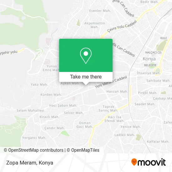
See Zopa Meram, Selçuklu, on the map
Public Transit to Zopa Meram in Selçuklu
Wondering how to get to Zopa Meram in Selçuklu? Moovit helps you find the best way to get to Zopa Meram with step-by-step directions from the nearest public transit station.
Moovit provides free maps and live directions to help you navigate through your city. View schedules, routes, timetables, and find out how long does it take to get to Zopa Meram in real time.
Looking for the nearest stop or station to Zopa Meram? Check out this list of stops closest to your destination: Eğitim Fakültesi; Necmettin Erbakan; Trafik Parkı; Nalçacı (T27); Alaaddin (T31).
Bus: 10-A, 4-A, 4-B, 52-A, 4-C, 33-A, 2-A, 2-B.
Want to see if there’s another route that gets you there at an earlier time? Moovit helps you find alternative routes or times. Get directions from and directions to Zopa Meram easily from the Moovit App or Website.
We make riding to Zopa Meram easy, which is why over 1.5 million users, including users in Selçuklu, trust Moovit as the best app for public transit. You don’t need to download an individual bus app or train app, Moovit is your all-in-one transit app that helps you find the best bus time or train time available.
For information on prices of bus and light rail, costs and ride fares to Zopa Meram, please check the Moovit app.
Use the app to navigate to popular places including to the airport, hospital, stadium, grocery store, mall, coffee shop, school, college, and university.
Zopa Meram Address: Fatih Caddesi, 9A 42090 Aşkan, Meram street in Selçuklu
- Huzur Sokağı,
- Bim Alavardı Şubesi,
- Yakut Villa,
- 4 Meram Yeni Yol Otobüsü,
- Ciğerci Fatih,
- Sincap Ananas,
- Kent Gross Aşkan,
- Zümrüt Sitesi,
- Didem Kız Öğrenci Yurdu,
- Safir Apartmanı,
- Fatih Camii,
- 7/24 Eğitim Taksi Konya,
- Meram Mücevherat İnşaat Mühendislik,
- Necmettin Erbakan Üniversitesi Yeniyol Yerleşkesi,
- Müzik Bölümü Amfisi,
- Senit Börek,
- Resim Atölyesi,
- Fatih Caddesi,
- Bolu'lu Kutay Usta'nın Yeri,
- Yeniyol Atm
Places Near Zopa Meram (Selçuklu)
- Konya YHT Garı, Selçuklu,
- Kelebekler Vadisi, Selçuklu,
- Kent Plaza (Konya Kent Plaza Alisveris Merkezi), Selçuklu,
- Kerhâne, Selçuklu,
- Selçuklu Nüfus Müdürlüğü, Selçuklu,
- Konya Şehir Hastanesi, Selçuklu,
- Konya Yüksek Hızlı Tren Garı (Konya YHT Garı), Selçuklu,
- Selçuklu Kongre Merkezi, Selçuklu,
- Konya Real Avm, Selçuklu,
- Fatih Işıklar - Özalkent Dolmuşu, Selçuklu,
- Otogar Aydınlık Dolmuşu, Selçuklu,
- Konya Otogar, Selçuklu,
- Bosna Hersek Mh Mutlu Son Masaj Salonu, Selçuklu,
- Konya Bilim Merkezi, Selçuklu,
- Meram Tıp Fakültesi, Meram,
- Büsan Sanayi, Selçuklu,
- Bosna Kampüs Dolmuş Duragı, Selçuklu,
- Konya Tren Garı, Selçuklu,
- Konya Havalimanı, Selçuklu,
- Adliye Sancak Dolmuşu, Selçuklu
How to get to popular places in Konya with public transit
Get around Selçuklu by public transit!
Traveling around Selçuklu has never been so easy. See step by step directions as you travel to any attraction, street or major public transit station. View bus and train schedules, arrival times, service alerts and detailed routes on a map, so you know exactly how to get to anywhere in Selçuklu.
When traveling to any destination around Selçuklu use Moovit's Live Directions with Get Off Notifications to know exactly where and how far to walk, how long to wait for your line, and how many stops are left. Moovit will alert you when it's time to get off — no need to constantly re-check whether yours is the next stop.
Wondering how to use public transit in Selçuklu or how to pay for public transit in Selçuklu? Moovit public transit app can help you navigate your way with public transit easily, and at minimum cost. It includes public transit fees, ticket prices, and costs. Looking for a map of Selçuklu public transit lines? Moovit public transit app shows all public transit maps in Selçuklu with all Bus and Light Rail routes and stops on an interactive map.
Konya has 2 transit type(s), including: Bus and Light Rail, operated by several transit agencies, including ATUS and Havaş