The Most Popular Urban Mobility App in Toronto.
All local mobility options in one app
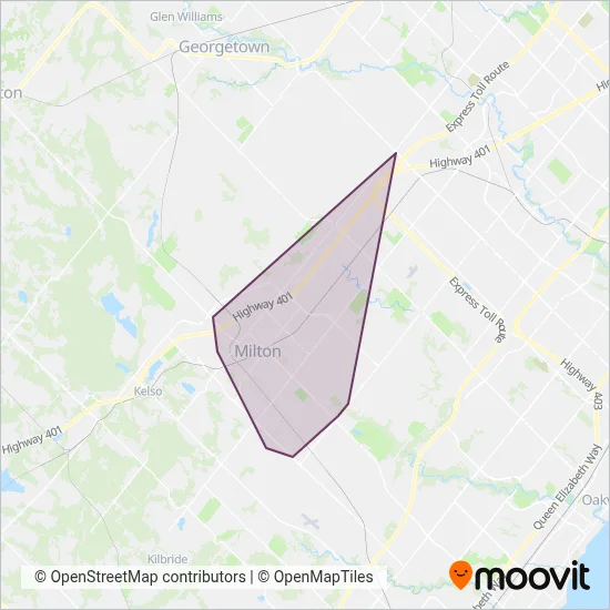
Milton Transit (Milton Transit ) is a public transportation provider in Toronto which operates Bus routes since 2004.
The Milton Transit has 16 Bus routes in Toronto with 378 Bus stops.
Their Bus routes cover an area from the North (Halton Hills) with a stop at Winston Churchill Boulevard at Steeles Avenue to the South (Milton) with a stop at Elsie Macgill Hs.Their most western stop is Regional Road 25 (Milton) and the most eastern stop is 3050 Argentia (Mississauga).
Milton Transit line schedules (timetables, itineraries, service hours), and departure and arrival times to stations are updated in the app in real time.
For Milton Transit service alerts, please check the Moovit website for real-time info on bus status, bus delays, changes of bus routes, changes of stops and any service changes.
Milton Transit (Milton Transit ) is a public transportation provider in Toronto which operates Bus routes since 2004.
The Milton Transit has 16 Bus routes in Toronto with 378 Bus stops.
Their Bus routes cover an area from the North (Halton Hills) with a stop at Winston Churchill Boulevard at Steeles Avenue to the South (Milton) with a stop at Elsie Macgill Hs.Their most western stop is Regional Road 25 (Milton) and the most eastern stop is 3050 Argentia (Mississauga).
Milton Transit line schedules (timetables, itineraries, service hours), and departure and arrival times to stations are updated in the app in real time.
The Milton Transit has Bus routes operating across Toronto including: Milton, Halton Hills, Mississauga.
The longest line from the Milton Transit is: 9A. This Bus route starts from Milton Go Station and ends at Milton Go Station. It covers over 14 km and has 36 stops.
The shortest line is: 2. This Bus line begins from Thompson (Milton) and finishes at Milton Go Station. It runs through 4 km with 15 stops.
According to Moovit Insights, the most popular lines for Milton Transit are .
Costs and prices of different ticket types may change, based on several factors. Please check the Moovit app to view bus fares of individual lines. For more information on ride fares and for buying bus tickets online please visit Milton Transit's official site.
The headquarter offices of the Milton Transit are located in: Milton Transit 150 Mary Street Milton, ON L9T 6Z5
Looking for a specific Milton Transit Bus schedule? All Milton Transit lines and schedules in Toronto can be found in the Moovit App. Moovit gives you directions for Milton Transit routes and provides helpful step-by-step navigation.