The Most Popular Urban Mobility App in Paris.
All local mobility options in one app
RATP (Région métropolitaine de Paris), also known as Paris metropolitan area, is a public transportation provider in Paris that operates Metro lines since 1900.
The RATP has 16 Metro lines in Paris with 309 Metro stations.
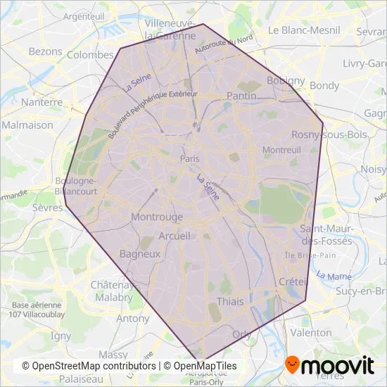
Their Metro lines cover an area from the North (Saint-Denis) with a stop at Saint-Denis - Université to the South (Creteil) with a stop at Pointe du Lac.Their most western stop is Boulogne Pont de Saint-Cloud (Boulogne-Billancourt) and the most eastern stop is Pointe du Lac (Creteil).
RATP line schedules (timetables, itineraries, service hours), and departure and arrival times to stations are updated in the app in real time.
For RATP service alerts, please check the Moovit website for real-time info on metro status, metro delays, changes of metro routes, changes of stations and any service changes.
RATP (Région métropolitaine de Paris), also known as Paris metropolitan area, is a public transportation provider in Paris that operates Metro lines since 1900.
The RATP has 16 Metro lines in Paris with 309 Metro stations.
Their Metro lines cover an area from the North (Saint-Denis) with a stop at Saint-Denis - Université to the South (Creteil) with a stop at Pointe du Lac.Their most western stop is Boulogne Pont de Saint-Cloud (Boulogne-Billancourt) and the most eastern stop is Pointe du Lac (Creteil).
RATP line schedules (timetables, itineraries, service hours), and departure and arrival times to stations are updated in the app in real time.
The RATP has Metro lines operating across Paris including: Saint-Denis, Paris, Villejuif, Chatillon, Ivry-Sur-Seine.
The longest line from the RATP is: 8. This Metro line starts from Pointe du Lac (Creteil) and ends at Balard. It covers over 23 km and has 38 stops.
The shortest line is: 12. This Metro line begins from Porte de Versailles (Parc Des Expositions) (Paris) and finishes at Mairie D'Issy. It runs through 2 km with 3 stops.
According to Moovit Insights, the most popular lines for RATP are 2, 1, 8, 3, 10.
Costs and prices of different ticket types may change, based on several factors. Please check the Moovit app to view metro fares of individual lines. For more information on ride fares and for buying metro tickets online please visit RATP's official site.
Looking for a specific RATP Metro schedule? All RATP lines and schedules in Paris can be found in the Moovit App. Moovit gives you directions for RATP routes and provides helpful step-by-step navigation.