The Most Popular Urban Mobility App in Minneapolis - St. Paul, MN.
All local mobility options in one app
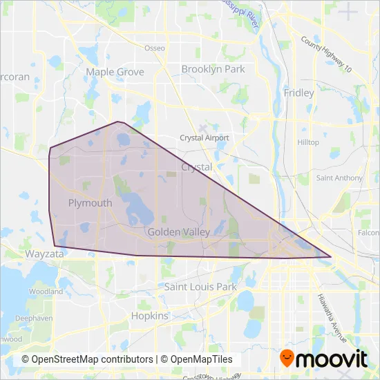
Plymouth Metrolink is a public transportation provider in Minneapolis - St. Paul, MN which operates Bus routes.
The Plymouth Metrolink has 6 Bus routes in Minneapolis - St. Paul, MN with 393 Bus stops.
Their Bus routes cover an area from the North (Maple Grove) with a stop at 62nd Place & Quinwood Lane to the South (Minneapolis) with a stop at 2nd Ave S & 11th St - Stop Group F.Their most western stop is Peony Lane & Old Rockford Rd (Plymouth) and the most eastern stop is Oak St SE & Delaware St SE (Minneapolis).
Plymouth Metrolink line schedules (timetables, itineraries, service hours), and departure and arrival times to stations are updated in the app in real time.
For Plymouth Metrolink service alerts, please check the Moovit website for real-time info on bus status, bus delays, changes of bus routes, changes of stops and any service changes.
Plymouth Metrolink is a public transportation provider in Minneapolis - St. Paul, MN which operates Bus routes.
The Plymouth Metrolink has 6 Bus routes in Minneapolis - St. Paul, MN with 393 Bus stops.
Their Bus routes cover an area from the North (Maple Grove) with a stop at 62nd Place & Quinwood Lane to the South (Minneapolis) with a stop at 2nd Ave S & 11th St - Stop Group F.Their most western stop is Peony Lane & Old Rockford Rd (Plymouth) and the most eastern stop is Oak St SE & Delaware St SE (Minneapolis).
Plymouth Metrolink line schedules (timetables, itineraries, service hours), and departure and arrival times to stations are updated in the app in real time.
The Plymouth Metrolink has Bus routes operating across Minneapolis - St. Paul, MN including: Minneapolis, Plymouth, Minnetonka, New Hope, Maple Grove.
The longest line from the Plymouth Metrolink is: 774. This Bus route starts from NW Greenway Pavilion Park & Ride (Plymouth) and ends at Oak St SE & Delaware St SE (Minneapolis). It covers over 31 km and has 55 stops.
The shortest line is: 790. This Bus line begins from Marquette Ave & Wash Ave S - Stop Grp A (Minneapolis) and finishes at Quinwood Lane & Bass Lake Rd (Plymouth). It runs through 22 km with 59 stops.
According to Moovit Insights, the most popular lines for Plymouth Metrolink are .
Costs and prices of different ticket types may change, based on several factors. Please check the Moovit app to view bus fares of individual lines. For more information on ride fares and for buying bus tickets online please visit Plymouth Metrolink's official site.
Looking for a specific Plymouth Metrolink Bus schedule? All Plymouth Metrolink lines and schedules in Minneapolis - St. Paul, MN can be found in the Moovit App. Moovit gives you directions for Plymouth Metrolink routes and provides helpful step-by-step navigation.