The Most Popular Urban Mobility App in Miami.
All local mobility options in one app
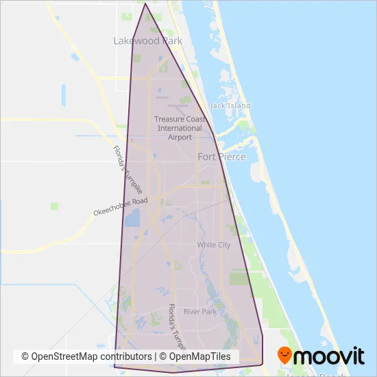
Treasure Coast Connector is a public transportation provider in Miami which operates Bus routes.
The Treasure Coast Connector has 8 Bus routes in Miami with 197 Bus stops.
Their Bus routes cover an area from the North (Florida Ridge) with a stop at Oslo Rd & 15th Ave SW to the South (Port St. Lucie) with a stop at SW Psl Blvd & SW Tulip Blvd.Their most western stop is SW Tradition Pkwy & SW Village Point (Port St. Lucie) and the most eastern stop is SE Lennard Rd & SE Avalon Ave (Port St. Lucie).
Treasure Coast Connector line schedules (timetables, itineraries, service hours), and departure and arrival times to stations are updated in the app in real time.
For Treasure Coast Connector service alerts, please check the Moovit website for real-time info on bus status, bus delays, changes of bus routes, changes of stops and any service changes.
Treasure Coast Connector is a public transportation provider in Miami which operates Bus routes.
The Treasure Coast Connector has 8 Bus routes in Miami with 197 Bus stops.
Their Bus routes cover an area from the North (Florida Ridge) with a stop at Oslo Rd & 15th Ave SW to the South (Port St. Lucie) with a stop at SW Psl Blvd & SW Tulip Blvd.Their most western stop is SW Tradition Pkwy & SW Village Point (Port St. Lucie) and the most eastern stop is SE Lennard Rd & SE Avalon Ave (Port St. Lucie).
Treasure Coast Connector line schedules (timetables, itineraries, service hours), and departure and arrival times to stations are updated in the app in real time.
The Treasure Coast Connector has Bus routes operating across Miami including: Lakewood Park, Fort Pierce North, Fort Pierce South, Fort Pierce, River Park, Port St. Lucie, White City.
The longest line from the Treasure Coast Connector is: 1. This Bus route starts from Avenue D & N 8th St (Fort Pierce) and ends at Treasure Coast Mall. It covers over 25 km and has 22 stops.
The shortest line is: 2. This Bus line begins from Hwy A1a & North Us 1 (Fort Pierce) and finishes at Avenue D & N 8th St (Fort Pierce). It runs through 8 km with 15 stops.
According to Moovit Insights, the most popular lines for Treasure Coast Connector are .
Costs and prices of different ticket types may change, based on several factors. Please check the Moovit app to view bus fares of individual lines. For more information on ride fares and for buying bus tickets online please visit Treasure Coast Connector's official site.
Looking for a specific Treasure Coast Connector Bus schedule? All Treasure Coast Connector lines and schedules in Miami can be found in the Moovit App. Moovit gives you directions for Treasure Coast Connector routes and provides helpful step-by-step navigation.