
051 Bus Route Map
View the 051 route map and see all 051 stops along the route. The map of 051 shows where the bus travels and the location of each stop, making it easy to understand the entire route at a glance.
Explore St. Werke Krefeld routes on the map and see where St. Werke Krefeld bus services operate. Use the 051 map to find bus stops and see how the 051 connects different areas along its trip.
All 051 stops on the map are displayed in route order, helping you follow the 051 bus from the first stop to the last.
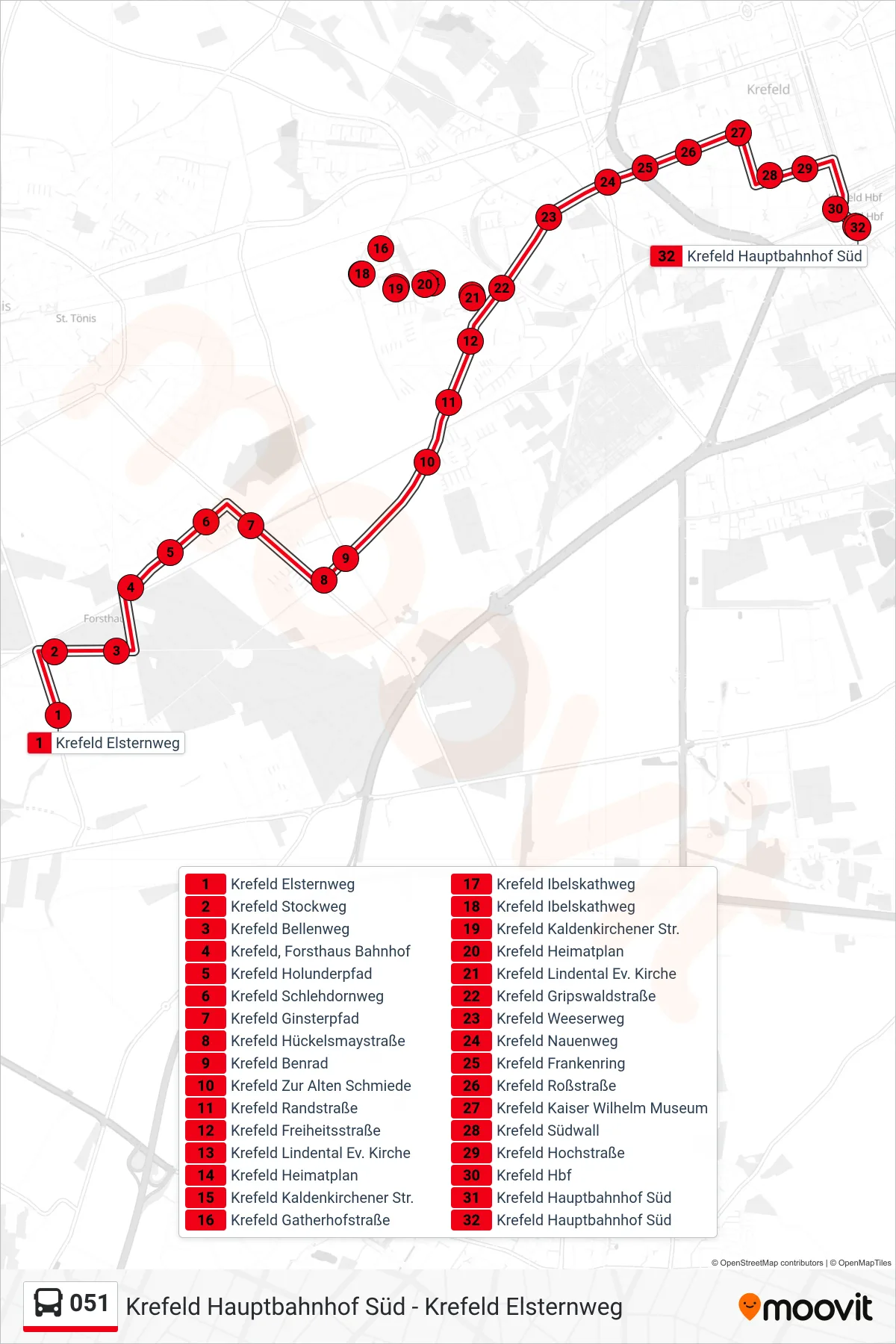
Stops list (051 - Krefeld Hauptbahnhof Süd)
- Krefeld Elsternweg
- Krefeld Stockweg
- Krefeld Bellenweg
- Krefeld, Forsthaus Bahnhof
- Krefeld Holunderpfad
- Krefeld Schlehdornweg
- Krefeld Ginsterpfad
- Krefeld Hückelsmaystraße
- Krefeld Benrad
- Krefeld Zur Alten Schmiede
- Krefeld Randstraße
- Krefeld Freiheitsstraße
- Krefeld Lindental Ev. Kirche
- Krefeld Heimatplan
- Krefeld Kaldenkirchener Str.
- Krefeld Gatherhofstraße
- Krefeld Ibelskathweg
- Krefeld Ibelskathweg
- Krefeld Kaldenkirchener Str.
- Krefeld Heimatplan
- Krefeld Lindental Ev. Kirche
- Krefeld Gripswaldstraße
- Krefeld Weeserweg
- Krefeld Nauenweg
- Krefeld Frankenring
- Krefeld Roßstraße
- Krefeld Kaiser Wilhelm Museum
- Krefeld Südwall
- Krefeld Hochstraße
- Krefeld Hbf
- Krefeld Hauptbahnhof Süd
- Krefeld Hauptbahnhof Süd