
1 Bus Route Map
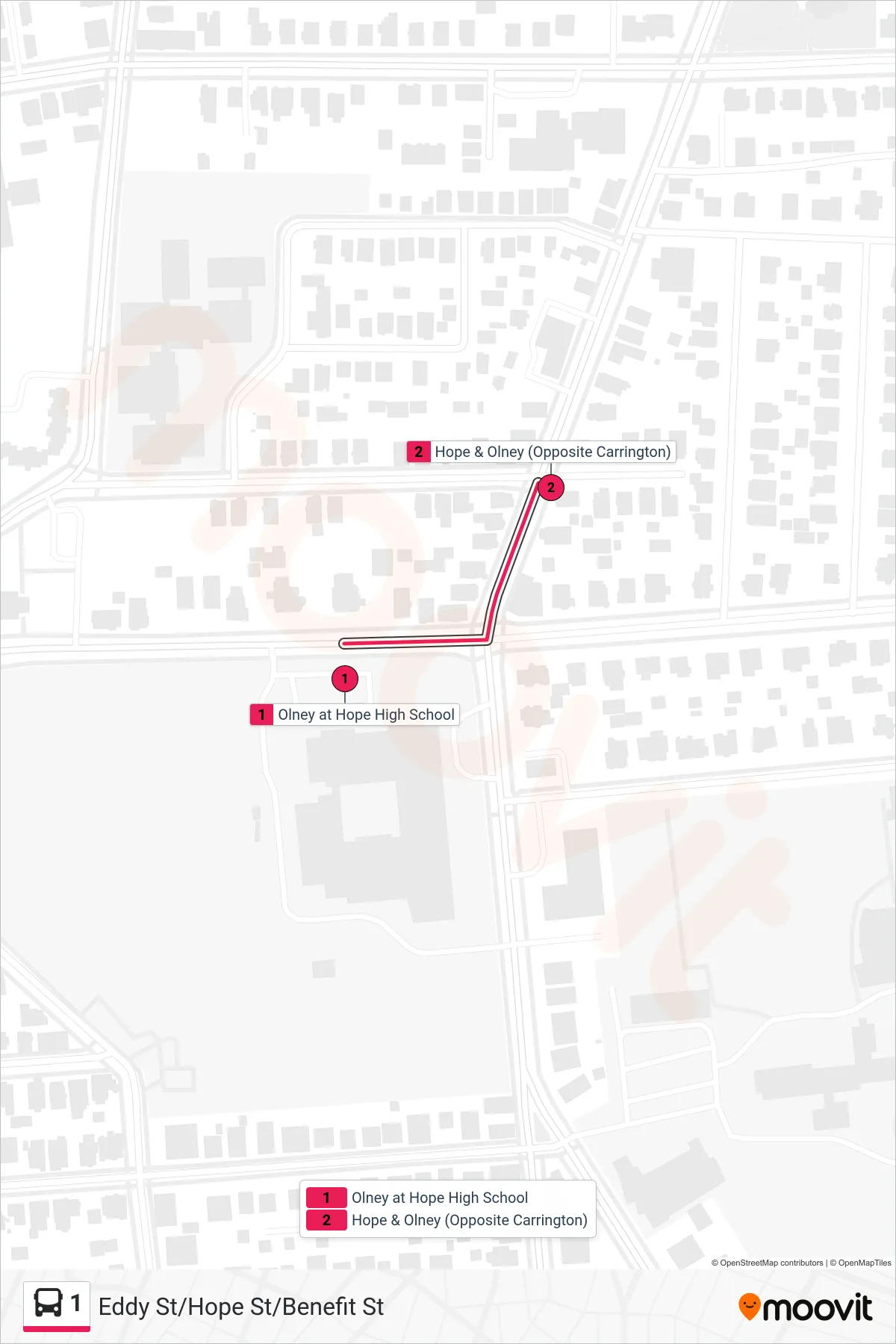
View the 1 route map and see all 1 stops along the route. The map of 1 shows where the bus travels and the location of each stop, making it easy to understand the entire route at a glance.
Explore Rhode Island Public Transit Authority routes on the map and see where Rhode Island Public Transit Authority bus services operate. Use the 1 map to find bus stops and see how the 1 connects different areas along its trip.
All 1 stops on the map are displayed in route order, helping you follow the 1 bus from the first stop to the last.
Stops list (1 - Stop&Shop (Manton Ave))
- Olney at Hope High School
- Hope & Olney (Opposite Carrington)
Change direction
- Route Map - 1 - Plainfield & Murray
- Route Map - 1 - Stop&Shop (Manton) Via Manton Ave
- Route Map - 1 - Kennedy Plaza
- Route Map - 1 - Bryant University
- Route Map - 1 - Pawtucket Transit Center Via Hope St
- Route Map - 1 - TF Green Airport Via Warwick Ave
- Route Map - 1 - Kennedy Plaza Then Roger Williams Park
- Route Map - 1 - Hope & Chace
- Route Map - 1 - Hope Hs
- Route Map - 1 - South Attleboro Station Via Hope St
- Route Map - 1 - Kennedy Plaza Then Central/Classical Hs
- Route Map - 1 - Broad Street Terminal (Providence)
- Route Map - 1 - Shaw's (Warwick)