
1 Bus Route Map
View the 1 route map and see all 1 stops along the route. The map of 1 shows where the bus travels and the location of each stop, making it easy to understand the entire route at a glance.
Explore NT routes on the map and see where NT bus services operate. Use the 1 map to find bus stops and see how the 1 connects different areas along its trip.
All 1 stops on the map are displayed in route order, helping you follow the 1 bus from the first stop to the last.
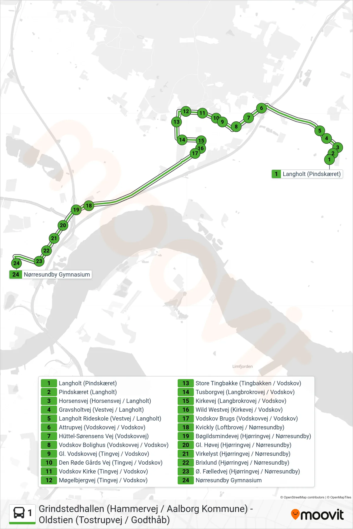
Stops list (1 - Nørresundby Gym)
- Langholt (Pindskæret)
- Pindskæret (Langholt)
- Horsensvej (Horsensvej / Langholt)
- Gravsholtvej (Vestvej / Langholt)
- Langholt Rideskole (Vestvej / Langholt)
- Attrupvej (Vodskovvej / Vodskov)
- Hüttel-Sørensens Vej (Vodskovvej)
- Vodskov Bolighus (Vodskovvej / Vodskov)
- Gl. Vodskovvej (Tingvej / Vodskov)
- Den Røde Gårds Vej (Tingvej / Vodskov)
- Vodskov Kirke (Tingvej / Vodskov)
- Møgelbjergvej (Tingvej / Vodskov)
- Store Tingbakke (Tingbakken / Vodskov)
- Tusborgvej (Langbrokrovej / Vodskov)
- Kirkevej (Langbrokrovej / Vodskov)
- Wild Westvej (Kirkevej / Vodskov)
- Vodskov Brugs (Vodskovvej / Vodskov)
- Kvickly (Loftbrovej / Nørresundby)
- Bøgildsmindevej (Hjørringvej / Nørresundby)
- Gl. Høvej (Hjørringvej / Nørresundby)
- Virkelyst (Hjørringvej / Nørresundby)
- Brixlund (Hjørringvej / Nørresundby)
- Ø. Fælledvej (Hjørringvej / Nørresundby)
- Nørresundby Gymnasium