
1 Bus Route Map
View the 1 route map and see all 1 stops along the route. The map of 1 shows where the bus travels and the location of each stop, making it easy to understand the entire route at a glance.
Explore Stadt-Bus-Verkehr Straubing routes on the map and see where Stadt-Bus-Verkehr Straubing bus services operate. Use the 1 map to find bus stops and see how the 1 connects different areas along its trip.
All 1 stops on the map are displayed in route order, helping you follow the 1 bus from the first stop to the last.
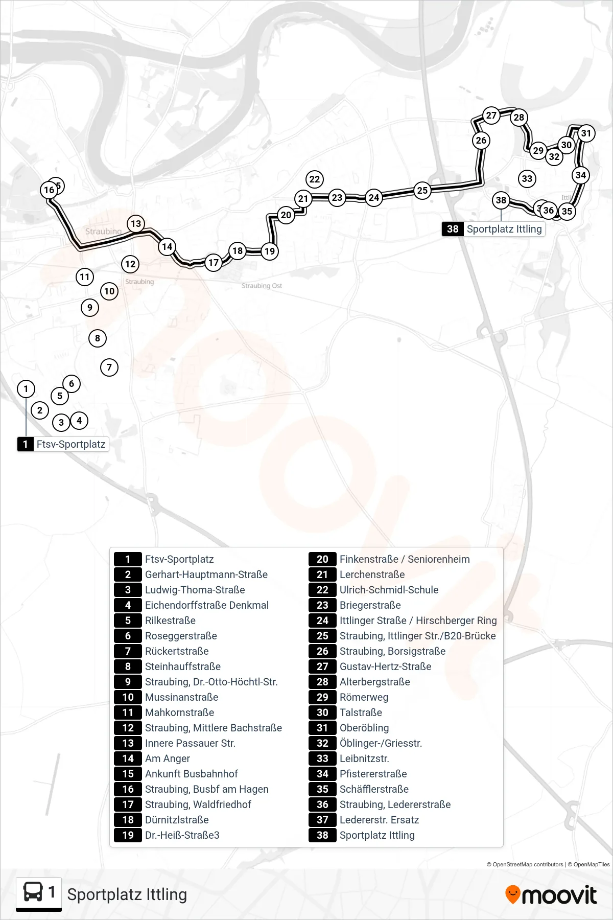
Stops list (1 - Sportplatz Ittling)
- Ftsv-Sportplatz
- Gerhart-Hauptmann-Straße
- Ludwig-Thoma-Straße
- Eichendorffstraße Denkmal
- Rilkestraße
- Roseggerstraße
- Rückertstraße
- Steinhauffstraße
- Straubing, Dr.-Otto-Höchtl-Str.
- Mussinanstraße
- Mahkornstraße
- Straubing, Mittlere Bachstraße
- Innere Passauer Str.
- Am Anger
- Ankunft Busbahnhof
- Straubing, Busbf am Hagen
- Straubing, Waldfriedhof
- Dürnitzlstraße
- Dr.-Heiß-Straße3
- Finkenstraße / Seniorenheim
- Lerchenstraße
- Ulrich-Schmidl-Schule
- Briegerstraße
- Ittlinger Straße / Hirschberger Ring
- Straubing, Ittlinger Str./B20-Brücke
- Straubing, Borsigstraße
- Gustav-Hertz-Straße
- Alterbergstraße
- Römerweg
- Talstraße
- Oberöbling
- Öblinger-/Griesstr.
- Leibnitzstr.
- Pfistererstraße
- Schäfflerstraße
- Straubing, Ledererstraße
- Ledererstr. Ersatz
- Sportplatz Ittling