
1 Bus Route Map
View the 1 route map and see all 1 stops along the route. The map of 1 shows where the bus travels and the location of each stop, making it easy to understand the entire route at a glance.
Explore Stadtverkehr Tüb. routes on the map and see where Stadtverkehr Tüb. bus services operate. Use the 1 map to find bus stops and see how the 1 connects different areas along its trip.
All 1 stops on the map are displayed in route order, helping you follow the 1 bus from the first stop to the last.
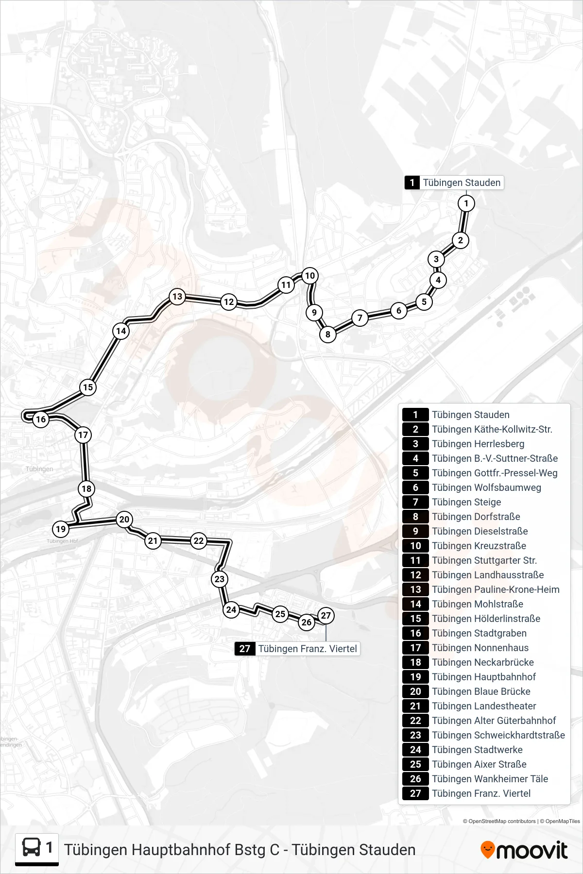
Stops list (1 - Tübingen Franz. Viertel)
- Tübingen Stauden
- Tübingen Käthe-Kollwitz-Str.
- Tübingen Herrlesberg
- Tübingen B.-V.-Suttner-Straße
- Tübingen Gottfr.-Pressel-Weg
- Tübingen Wolfsbaumweg
- Tübingen Steige
- Tübingen Dorfstraße
- Tübingen Dieselstraße
- Tübingen Kreuzstraße
- Tübingen Stuttgarter Str.
- Tübingen Landhausstraße
- Tübingen Pauline-Krone-Heim
- Tübingen Mohlstraße
- Tübingen Hölderlinstraße
- Tübingen Stadtgraben
- Tübingen Nonnenhaus
- Tübingen Neckarbrücke
- Tübingen Hauptbahnhof
- Tübingen Blaue Brücke
- Tübingen Landestheater
- Tübingen Alter Güterbahnhof
- Tübingen Schweickhardtstraße
- Tübingen Stadtwerke
- Tübingen Aixer Straße
- Tübingen Wankheimer Täle
- Tübingen Franz. Viertel