
1 Subway Route Map
View the 1 route map and see all 1 stops along the route. The map of 1 shows where the subway travels and the location of each stop, making it easy to understand the entire route at a glance.
Explore Toronto Subway routes on the map and see where Toronto Subway subway services operate. Use the 1 map to find subway stations and see how the 1 connects different areas along its trip.
All 1 stops on the map are displayed in route order, helping you follow the 1 subway from the first station to the last.
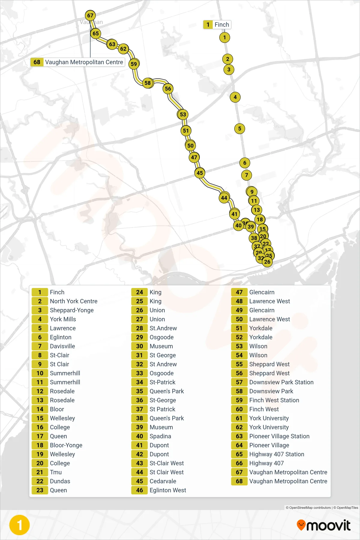

Stops list (1 - Vaughan Metropolitan Centre)
- Finch
- North York Centre
- Sheppard-Yonge
- York Mills
- Lawrence
- Eglinton
- Davisville
- St-Clair
- St Clair
- Summerhill
- Summerhill
- Rosedale
- Rosedale
- Bloor
- Wellesley
- College
- Queen
- Bloor-Yonge
- Wellesley
- College
- Tmu
- Dundas
- Queen
- King
- King
- Union
- Union
- St.Andrew
- Osgoode
- Museum
- St George
- St Andrew
- Osgoode
- St-Patrick
- Queen's Park
- St-George
- St Patrick
- Queen's Park
- Museum
- Spadina
- Dupont
- Dupont
- St-Clair West
- St Clair West
- Cedarvale
- Eglinton West
- Glencairn
- Lawrence West
- Glencairn
- Lawrence West
- Yorkdale
- Yorkdale
- Wilson
- Wilson
- Sheppard West
- Sheppard West
- Downsview Park Station
- Downsview Park
- Finch West Station
- Finch West
- York University
- York University
- Pioneer Village Station
- Pioneer Village
- Highway 407 Station
- Highway 407
- Vaughan Metropolitan Centre
- Vaughan Metropolitan Centre