
1 Bus Route Map
View the 1 route map and see all 1 stops along the route. The map of 1 shows where the bus travels and the location of each stop, making it easy to understand the entire route at a glance.
Explore Petersburg Area Transit routes on the map and see where Petersburg Area Transit bus services operate. Use the 1 map to find bus stops and see how the 1 connects different areas along its trip.
All 1 stops on the map are displayed in route order, helping you follow the 1 bus from the first stop to the last.
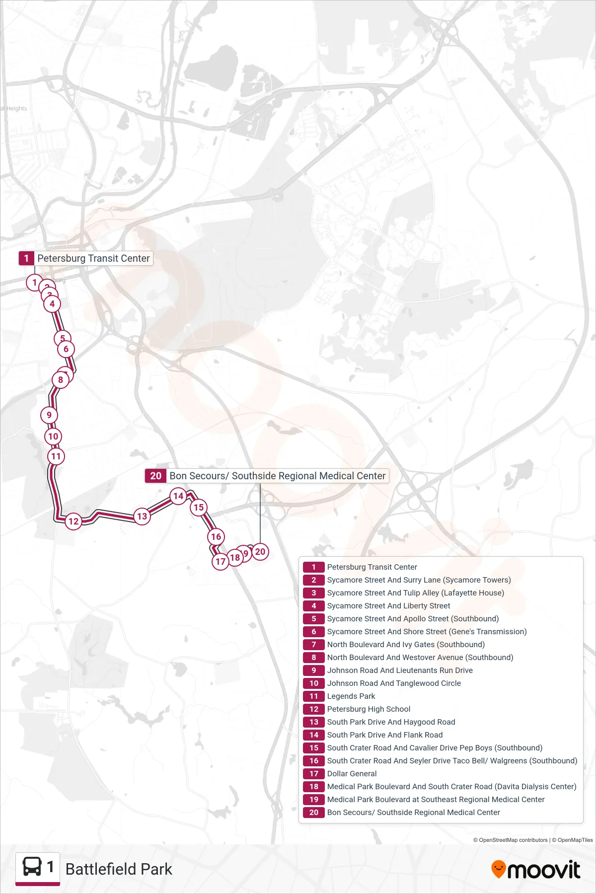
Stops list (1 - Battlefield Park)
- Petersburg Transit Center
- Sycamore Street And Surry Lane (Sycamore Towers)
- Sycamore Street And Tulip Alley (Lafayette House)
- Sycamore Street And Liberty Street
- Sycamore Street And Apollo Street (Southbound)
- Sycamore Street And Shore Street (Gene's Transmission)
- North Boulevard And Ivy Gates (Southbound)
- North Boulevard And Westover Avenue (Southbound)
- Johnson Road And Lieutenants Run Drive
- Johnson Road And Tanglewood Circle
- Legends Park
- Petersburg High School
- South Park Drive And Haygood Road
- South Park Drive And Flank Road
- South Crater Road And Cavalier Drive Pep Boys (Southbound)
- South Crater Road And Seyler Drive Taco Bell/ Walgreens (Southbound)
- Dollar General
- Medical Park Boulevard And South Crater Road (Davita Dialysis Center)
- Medical Park Boulevard at Southeast Regional Medical Center
- Bon Secours/ Southside Regional Medical Center