
10 Bus Route Map
View the 10 route map and see all 10 stops along the route. The map of 10 shows where the bus travels and the location of each stop, making it easy to understand the entire route at a glance.
Explore Stadtbus Schwäbisch Hall GmbH routes on the map and see where Stadtbus Schwäbisch Hall GmbH bus services operate. Use the 10 map to find bus stops and see how the 10 connects different areas along its trip.
All 10 stops on the map are displayed in route order, helping you follow the 10 bus from the first stop to the last.
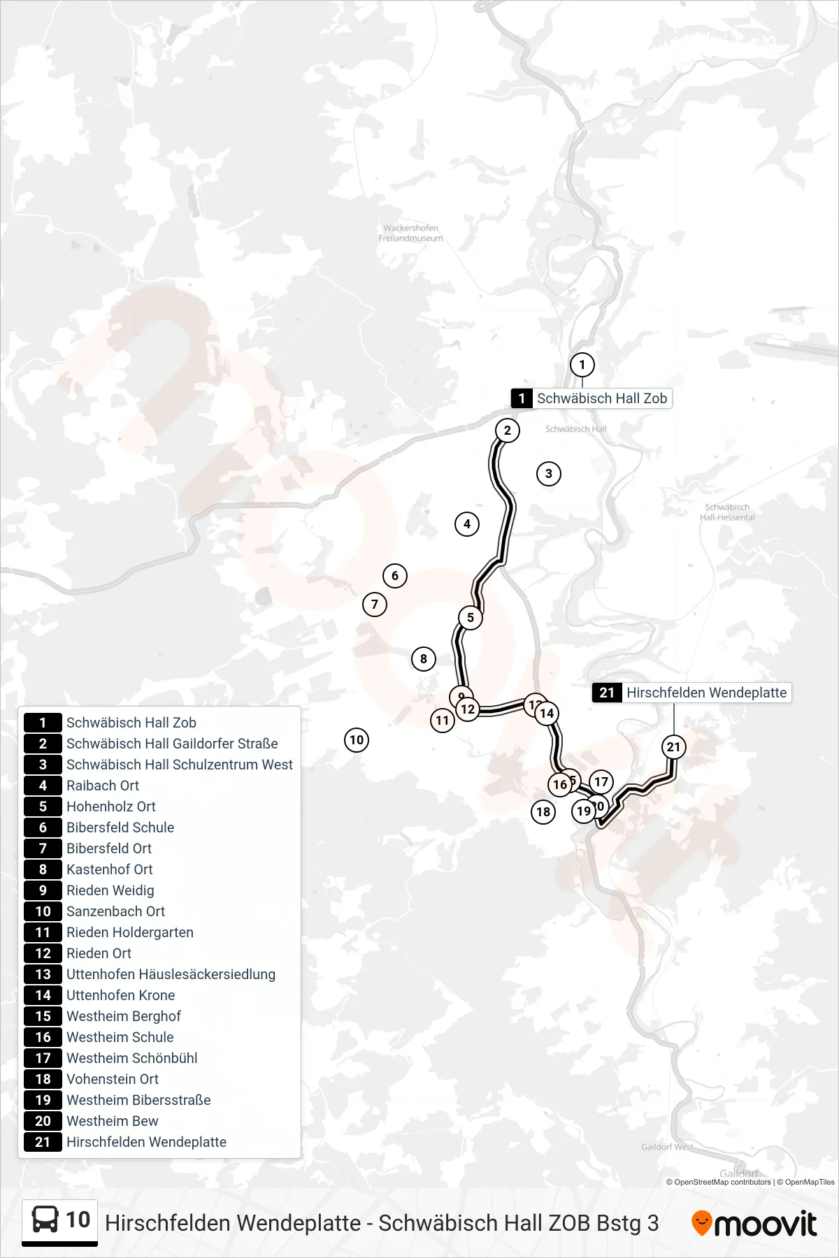
Stops list (10 - Hirschfelden Wendeplatte)
- Schwäbisch Hall Zob
- Schwäbisch Hall Gaildorfer Straße
- Schwäbisch Hall Schulzentrum West
- Raibach Ort
- Hohenholz Ort
- Bibersfeld Schule
- Bibersfeld Ort
- Kastenhof Ort
- Rieden Weidig
- Sanzenbach Ort
- Rieden Holdergarten
- Rieden Ort
- Uttenhofen Häuslesäckersiedlung
- Uttenhofen Krone
- Westheim Berghof
- Westheim Schule
- Westheim Schönbühl
- Vohenstein Ort
- Westheim Bibersstraße
- Westheim Bew
- Hirschfelden Wendeplatte