
10 Bus Route Map
View the 10 route map and see all 10 stops along the route. The map of 10 shows where the bus travels and the location of each stop, making it easy to understand the entire route at a glance.
Explore Bay Area Transportation Authority routes on the map and see where Bay Area Transportation Authority bus services operate. Use the 10 map to find bus stops and see how the 10 connects different areas along its trip.
All 10 stops on the map are displayed in route order, helping you follow the 10 bus from the first stop to the last.
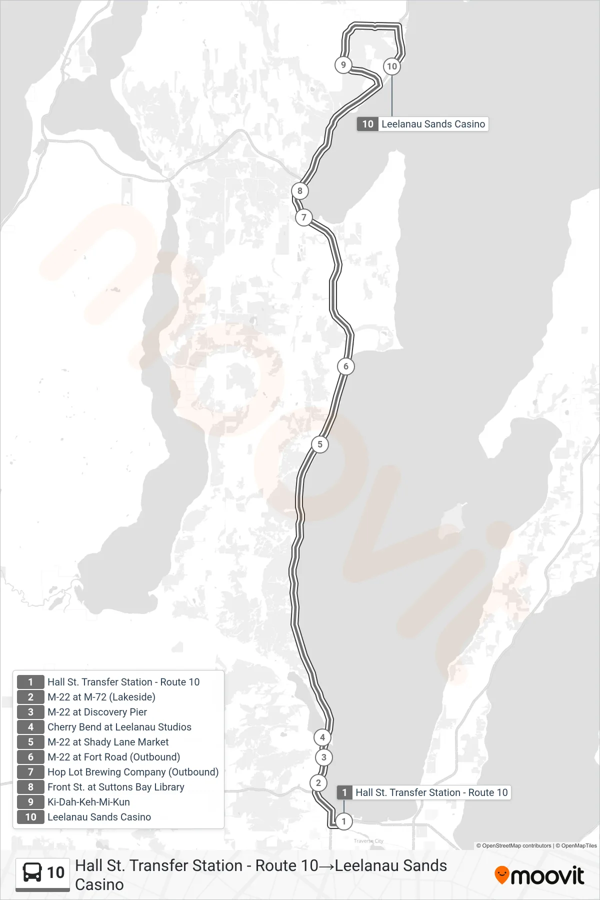
Stops list (10 - Hall St. Transfer Station - Route 10→Leelanau Sands Casino)
- Hall St. Transfer Station - Route 10
- M-22 at M-72 (Lakeside)
- M-22 at Discovery Pier
- Cherry Bend at Leelanau Studios
- M-22 at Shady Lane Market
- M-22 at Fort Road (Outbound)
- Hop Lot Brewing Company (Outbound)
- Front St. at Suttons Bay Library
- Ki-Dah-Keh-Mi-Kun
- Leelanau Sands Casino