
10 Bus Route Map
View the 10 route map and see all 10 stops along the route. The map of 10 shows where the bus travels and the location of each stop, making it easy to understand the entire route at a glance.
Explore Salzburg AG (OBus) routes on the map and see where Salzburg AG (OBus) bus services operate. Use the 10 map to find bus stops and see how the 10 connects different areas along its trip.
All 10 stops on the map are displayed in route order, helping you follow the 10 bus from the first stop to the last.
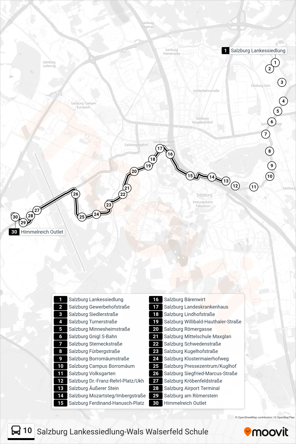
Stops list (10 - Himmelreich Outlet)
- Salzburg Lankessiedlung
- Salzburg Gewerbehofstraße
- Salzburg Siedlerstraße
- Salzburg Turnerstraße
- Salzburg Minnesheimstraße
- Salzburg Gnigl S-Bahn
- Salzburg Sterneckstraße
- Salzburg Fürbergstraße
- Salzburg Borromäumstraße
- Salzburg Campus Borromäum
- Salzburg Volksgarten
- Salzburg Dr.-Franz-Rehrl-Platz/Ukh
- Salzburg Äußerer Stein
- Salzburg Mozartsteg/Imbergstraße
- Salzburg Ferdinand-Hanusch-Platz
- Salzburg Bärenwirt
- Salzburg Landeskrankenhaus
- Salzburg Lindhofstraße
- Salzburg Willibald-Hauthaler-Straße
- Salzburg Römergasse
- Salzburg Mittelschule Maxglan
- Salzburg Schwedenstraße
- Salzburg Kugelhofstraße
- Salzburg Klostermaierhofweg
- Salzburg Pressezentrum/Kuglhof
- Salzburg Siegfried-Marcus-Straße
- Salzburg Kröbenfeldstraße
- Salzburg Airport Terminal
- Salzburg am Römerstein
- Himmelreich Outlet