
100 Bus Route Map
View the 100 route map and see all 100 stops along the route. The map of 100 shows where the bus travels and the location of each stop, making it easy to understand the entire route at a glance.
Explore GoTriangle routes on the map and see where GoTriangle bus services operate. Use the 100 map to find bus stops and see how the 100 connects different areas along its trip.
All 100 stops on the map are displayed in route order, helping you follow the 100 bus from the first stop to the last.
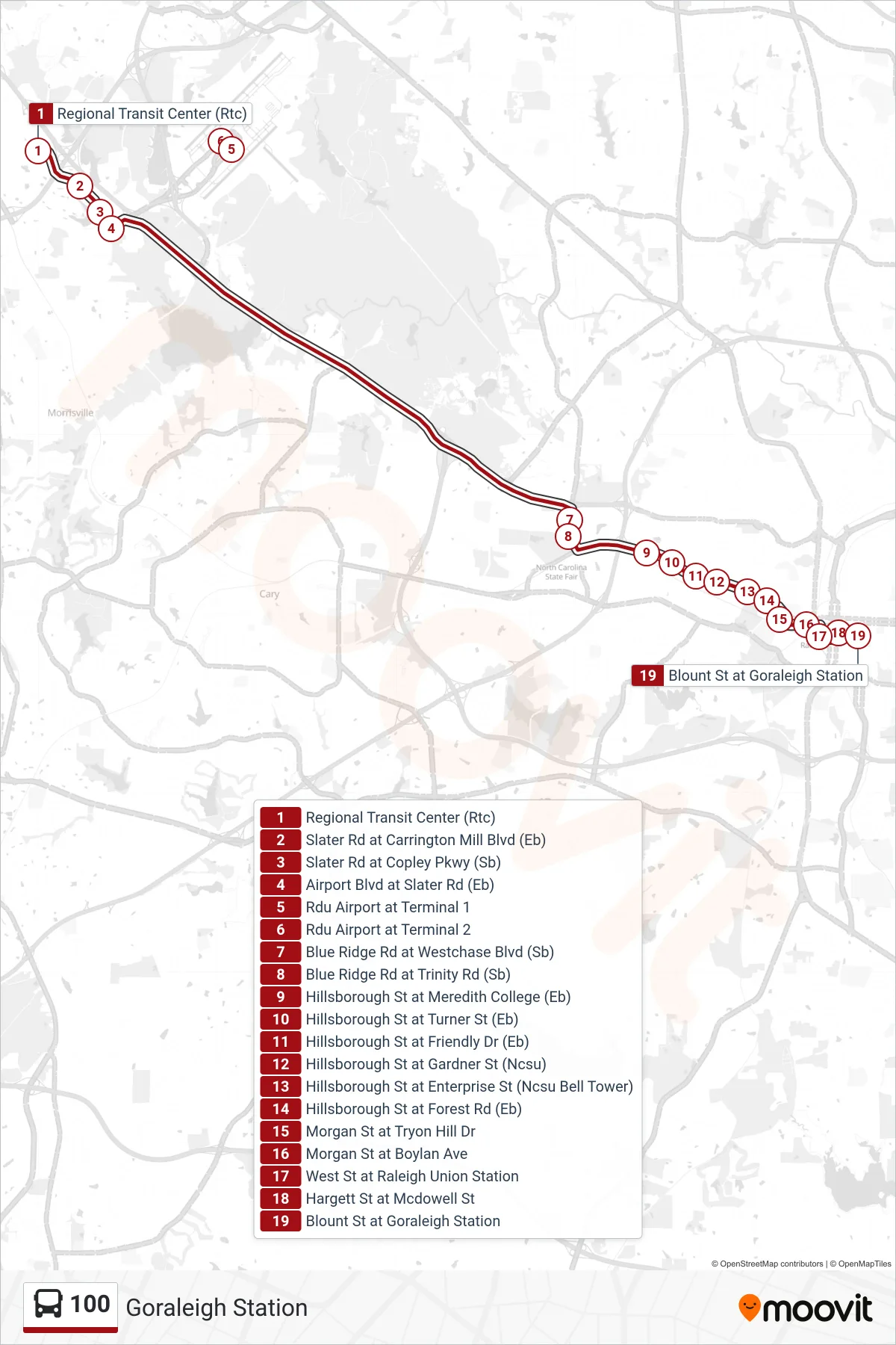
Stops list (100 - Goraleigh Station)
- Regional Transit Center (Rtc)
- Slater Rd at Carrington Mill Blvd (Eb)
- Slater Rd at Copley Pkwy (Sb)
- Airport Blvd at Slater Rd (Eb)
- Rdu Airport at Terminal 1
- Rdu Airport at Terminal 2
- Blue Ridge Rd at Westchase Blvd (Sb)
- Blue Ridge Rd at Trinity Rd (Sb)
- Hillsborough St at Meredith College (Eb)
- Hillsborough St at Turner St (Eb)
- Hillsborough St at Friendly Dr (Eb)
- Hillsborough St at Gardner St (Ncsu)
- Hillsborough St at Enterprise St (Ncsu Bell Tower)
- Hillsborough St at Forest Rd (Eb)
- Morgan St at Tryon Hill Dr
- Morgan St at Boylan Ave
- West St at Raleigh Union Station
- Hargett St at Mcdowell St
- Blount St at Goraleigh Station