
11 Bus Route Map
View the 11 route map and see all 11 stops along the route. The map of 11 shows where the bus travels and the location of each stop, making it easy to understand the entire route at a glance.
Explore Bus Átha Cliath – Dublin Bus routes on the map and see where Bus Átha Cliath – Dublin Bus bus services operate. Use the 11 map to find bus stops and see how the 11 connects different areas along its trip.
All 11 stops on the map are displayed in route order, helping you follow the 11 bus from the first stop to the last.
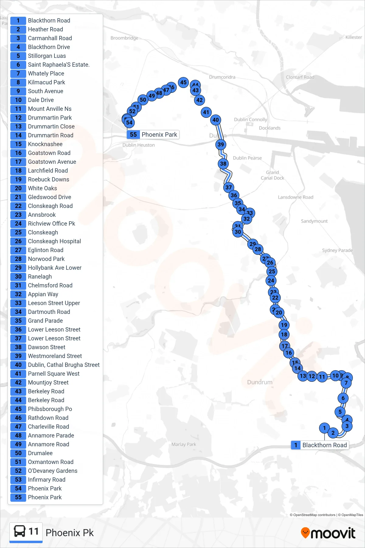
Stops list (11 - Phoenix Pk)
- Blackthorn Road
- Heather Road
- Carmanhall Road
- Blackthorn Drive
- Stillorgan Luas
- Saint Raphaela'S Estate.
- Whately Place
- Kilmacud Park
- South Avenue
- Dale Drive
- Mount Anville Ns
- Drummartin Park
- Drummartin Close
- Drummartin Road
- Knocknashee
- Goatstown Road
- Goatstown Avenue
- Larchfield Road
- Roebuck Downs
- White Oaks
- Gledswood Drive
- Clonskeagh Road
- Annsbrook
- Richview Office Pk
- Clonskeagh
- Clonskeagh Hospital
- Eglinton Road
- Norwood Park
- Hollybank Ave Lower
- Ranelagh
- Chelmsford Road
- Appian Way
- Leeson Street Upper
- Dartmouth Road
- Grand Parade
- Lower Leeson Street
- Lower Leeson Street
- Dawson Street
- Westmoreland Street
- Dublin, Cathal Brugha Street
- Parnell Square West
- Mountjoy Street
- Berkeley Road
- Berkeley Road
- Phibsborough Po
- Rathdown Road
- Charleville Road
- Annamore Parade
- Annamore Road
- Drumalee
- Oxmantown Road
- O'Devaney Gardens
- Infirmary Road
- Phoenix Park
- Phoenix Park