
11 Bus Route Map
View the 11 route map and see all 11 stops along the route. The map of 11 shows where the bus travels and the location of each stop, making it easy to understand the entire route at a glance.
Explore TriMet routes on the map and see where TriMet bus services operate. Use the 11 map to find bus stops and see how the 11 connects different areas along its trip.
All 11 stops on the map are displayed in route order, helping you follow the 11 bus from the first stop to the last.
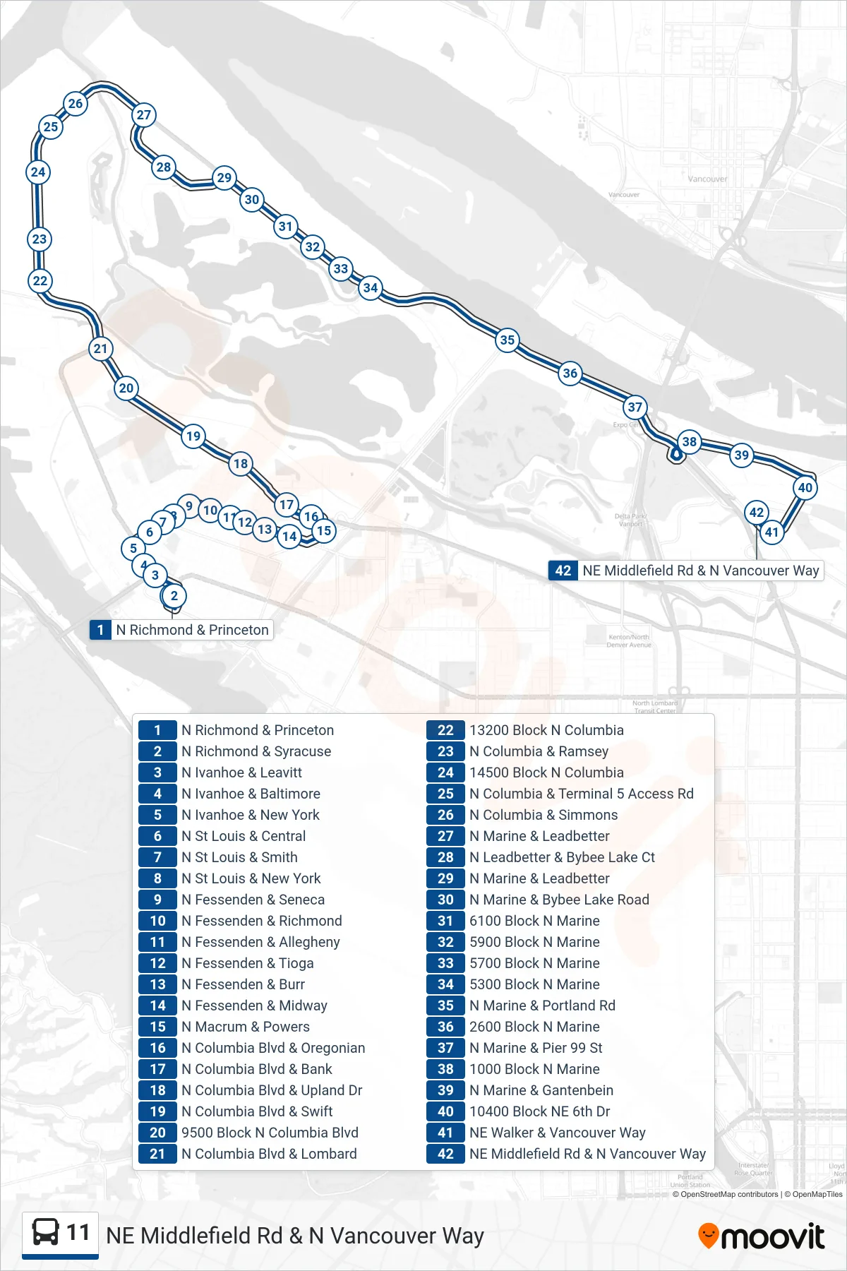
Stops list (11 - NE Middlefield Rd & N Vancouver Way)
- N Richmond & Princeton
- N Richmond & Syracuse
- N Ivanhoe & Leavitt
- N Ivanhoe & Baltimore
- N Ivanhoe & New York
- N St Louis & Central
- N St Louis & Smith
- N St Louis & New York
- N Fessenden & Seneca
- N Fessenden & Richmond
- N Fessenden & Allegheny
- N Fessenden & Tioga
- N Fessenden & Burr
- N Fessenden & Midway
- N Macrum & Powers
- N Columbia Blvd & Oregonian
- N Columbia Blvd & Bank
- N Columbia Blvd & Upland Dr
- N Columbia Blvd & Swift
- 9500 Block N Columbia Blvd
- N Columbia Blvd & Lombard
- 13200 Block N Columbia
- N Columbia & Ramsey
- 14500 Block N Columbia
- N Columbia & Terminal 5 Access Rd
- N Columbia & Simmons
- N Marine & Leadbetter
- N Leadbetter & Bybee Lake Ct
- N Marine & Leadbetter
- N Marine & Bybee Lake Road
- 6100 Block N Marine
- 5900 Block N Marine
- 5700 Block N Marine
- 5300 Block N Marine
- N Marine & Portland Rd
- 2600 Block N Marine
- N Marine & Pier 99 St
- 1000 Block N Marine
- N Marine & Gantenbein
- 10400 Block NE 6th Dr
- NE Walker & Vancouver Way
- NE Middlefield Rd & N Vancouver Way