
11 Bus Route Map
View the 11 route map and see all 11 stops along the route. The map of 11 shows where the bus travels and the location of each stop, making it easy to understand the entire route at a glance.
Explore Montgomery County Ride On routes on the map and see where Montgomery County Ride On bus services operate. Use the 11 map to find bus stops and see how the 11 connects different areas along its trip.
All 11 stops on the map are displayed in route order, helping you follow the 11 bus from the first stop to the last.
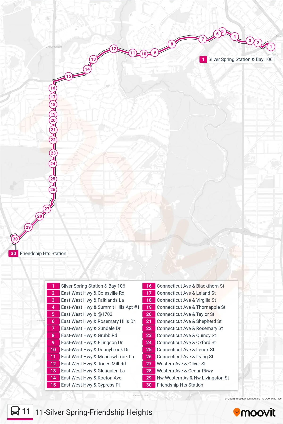
Stops list (11 - Friendship Heights)
- Silver Spring Station & Bay 106
- East West Hwy & Colesville Rd
- East West Hwy & Falklands La
- East-West Hwy & Summit Hills Apt #1
- East West Hwy & @1703
- East West Hwy & Rosemary Hills Dr
- East-West Hwy & Sundale Dr
- East-West Hwy & Grubb Rd
- East-West Hwy & Ellingson Dr
- East-West Hwy & Donnybrook Dr
- East-West Hwy & Meadowbrook La
- East West Hwy & Jones Mill Rd
- East West Hwy & Glengalen La
- East West Hwy & Rocton Ave
- East West Hwy & Cypress Pl
- Connecticut Ave & Blackthorn St
- Connecticut Ave & Leland St
- Connecticut Ave & Virgilia St
- Connecticut Ave & Thornapple St
- Connecticut Ave & Taylor St
- Connecticut Ave & Shepherd St
- Connecticut Ave & Rosemary St
- Connecticut Ave & Quincy St
- Connecticut Ave & Oxford St
- Connecticut Ave & Lenox St
- Connecticut Ave & Irving St
- Western Ave & Oliver St
- Western Ave & Cedar Pkwy
- Nw Western Av & Nw Livingston St
- Friendship Hts Station