
110 Bus Route Map
View the 110 route map and see all 110 stops along the route. The map of 110 shows where the bus travels and the location of each stop, making it easy to understand the entire route at a glance.
Explore SEPTA routes on the map and see where SEPTA bus services operate. Use the 110 map to find bus stops and see how the 110 connects different areas along its trip.
All 110 stops on the map are displayed in route order, helping you follow the 110 bus from the first stop to the last.
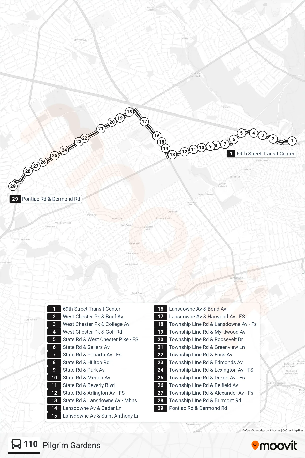
Stops list (110 - Pilgrim Gardens)
- 69th Street Transit Center
- West Chester Pk & Brief Av
- West Chester Pk & College Av
- West Chester Pk & Golf Rd
- State Rd & West Chester Pike - FS
- State Rd & Sellers Av
- State Rd & Penarth Av - Fs
- State Rd & Hilltop Rd
- State Rd & Park Av
- State Rd & Merion Av
- State Rd & Beverly Blvd
- State Rd & Arlington Av - FS
- State Rd & Lansdowne Av - Mbns
- Lansdowne Av & Cedar Ln
- Lansdowne Av & Saint Anthony Ln
- Lansdowne Av & Bond Av
- Lansdowne Av & Harwood Av - FS
- Township Line Rd & Lansdowne Av - Fs
- Township Line Rd & Myrtlwood Av
- Township Line Rd & Roosevelt Dr
- Township Line Rd & Greenview Ln
- Township Line Rd & Foss Av
- Township Line Rd & Edmonds Av
- Township Line Rd & Lexington Av - FS
- Township Line Rd & Drexel Av - Fs
- Township Line Rd & Belfield Av
- Township Line Rd & Alexander Av - Fs
- Township Line Rd & Burmont Rd
- Pontiac Rd & Dermond Rd