
111 Bus Route Map
View the 111 route map and see all 111 stops along the route. The map of 111 shows where the bus travels and the location of each stop, making it easy to understand the entire route at a glance.
Explore KBS routes on the map and see where KBS bus services operate. Use the 111 map to find bus stops and see how the 111 connects different areas along its trip.
All 111 stops on the map are displayed in route order, helping you follow the 111 bus from the first stop to the last.
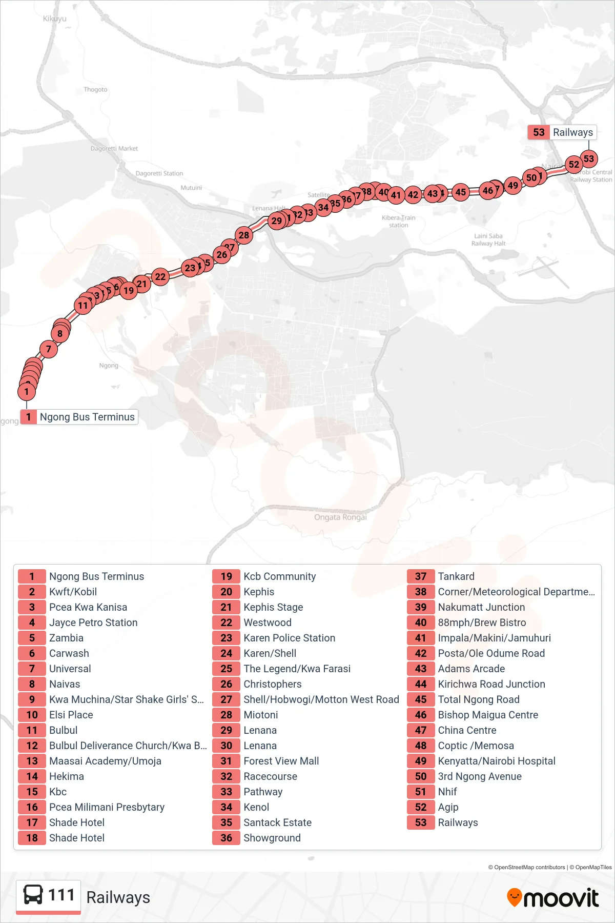
Stops list (111 - Railways)
- Ngong Bus Terminus
- Kwft/Kobil
- Pcea Kwa Kanisa
- Jayce Petro Station
- Zambia
- Carwash
- Universal
- Naivas
- Kwa Muchina/Star Shake Girls' Secondary School
- Elsi Place
- Bulbul
- Bulbul Deliverance Church/Kwa Bumps
- Maasai Academy/Umoja
- Hekima
- Kbc
- Pcea Milimani Presbytary
- Shade Hotel
- Shade Hotel
- Kcb Community
- Kephis
- Kephis Stage
- Westwood
- Karen Police Station
- Karen/Shell
- The Legend/Kwa Farasi
- Christophers
- Shell/Hobwogi/Motton West Road
- Miotoni
- Lenana
- Lenana
- Forest View Mall
- Racecourse
- Pathway
- Kenol
- Santack Estate
- Showground
- Tankard
- Corner/Meteorological Department/Total
- Nakumatt Junction
- 88mph/Brew Bistro
- Impala/Makini/Jamuhuri
- Posta/Ole Odume Road
- Adams Arcade
- Kirichwa Road Junction
- Total Ngong Road
- Bishop Maigua Centre
- China Centre
- Coptic /Memosa
- Kenyatta/Nairobi Hospital
- 3rd Ngong Avenue
- Nhif
- Agip
- Railways