
118 Tram Route Map
View the 118 route map and see all 118 stops along the route. The map of 118 shows where the tram travels and the location of each stop, making it easy to understand the entire route at a glance.
Explore routes on the map and see where tram services operate. Use the 118 map to find tram stations and see how the 118 connects different areas along its trip.
All 118 stops on the map are displayed in route order, helping you follow the 118 tram from the first station to the last.
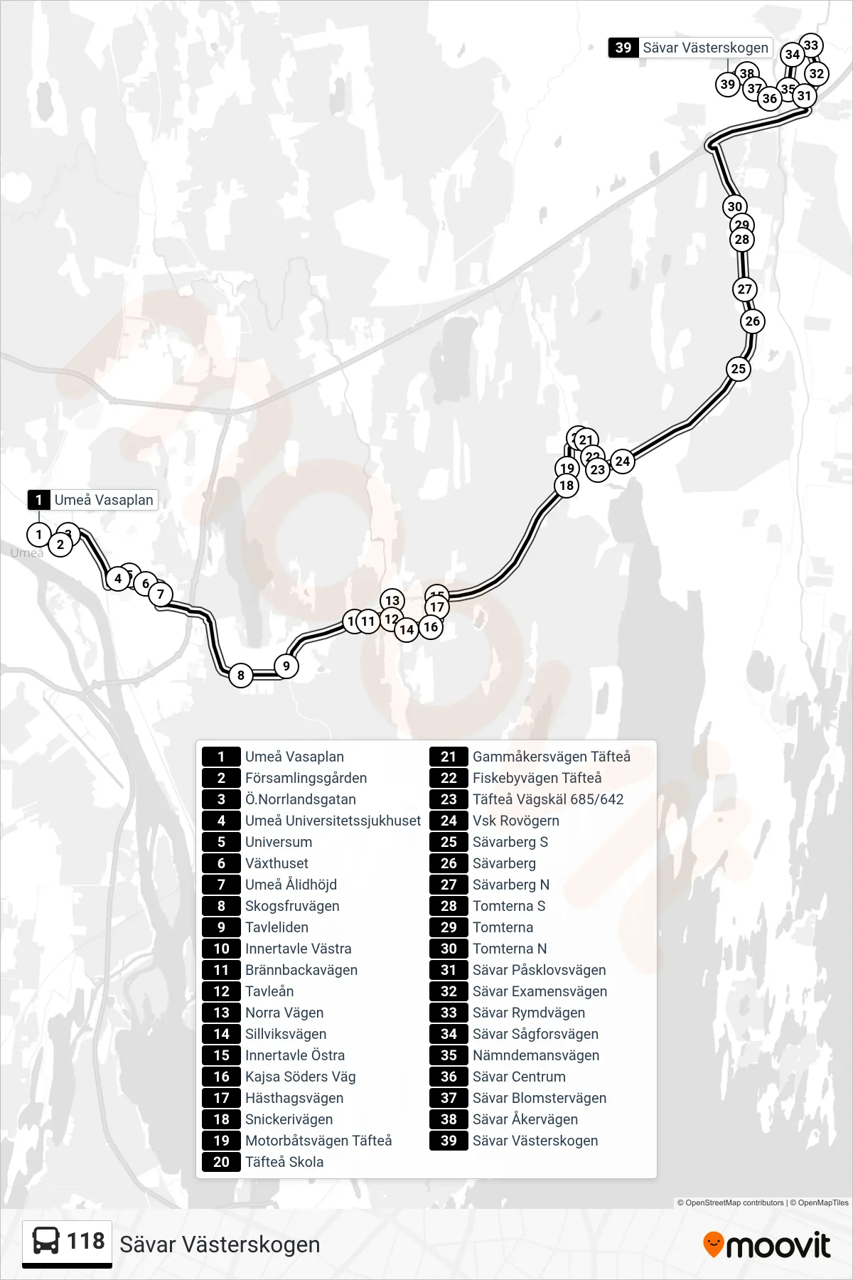
Stops list (118 - Sävar Västerskogen)
- Umeå Vasaplan
- Församlingsgården
- Ö.Norrlandsgatan
- Umeå Universitetssjukhuset
- Universum
- Växthuset
- Umeå Ålidhöjd
- Skogsfruvägen
- Tavleliden
- Innertavle Västra
- Brännbackavägen
- Tavleån
- Norra Vägen
- Sillviksvägen
- Innertavle Östra
- Kajsa Söders Väg
- Hästhagsvägen
- Snickerivägen
- Motorbåtsvägen Täfteå
- Täfteå Skola
- Gammåkersvägen Täfteå
- Fiskebyvägen Täfteå
- Täfteå Vägskäl 685/642
- Vsk Rovögern
- Sävarberg S
- Sävarberg
- Sävarberg N
- Tomterna S
- Tomterna
- Tomterna N
- Sävar Påsklovsvägen
- Sävar Examensvägen
- Sävar Rymdvägen
- Sävar Sågforsvägen
- Nämndemansvägen
- Sävar Centrum
- Sävar Blomstervägen
- Sävar Åkervägen
- Sävar Västerskogen