
12 Bus Route Map
View the 12 route map and see all 12 stops along the route. The map of 12 shows where the bus travels and the location of each stop, making it easy to understand the entire route at a glance.
Explore Koblenzer Verkehrsbetriebe GmbH routes on the map and see where Koblenzer Verkehrsbetriebe GmbH bus services operate. Use the 12 map to find bus stops and see how the 12 connects different areas along its trip.
All 12 stops on the map are displayed in route order, helping you follow the 12 bus from the first stop to the last.
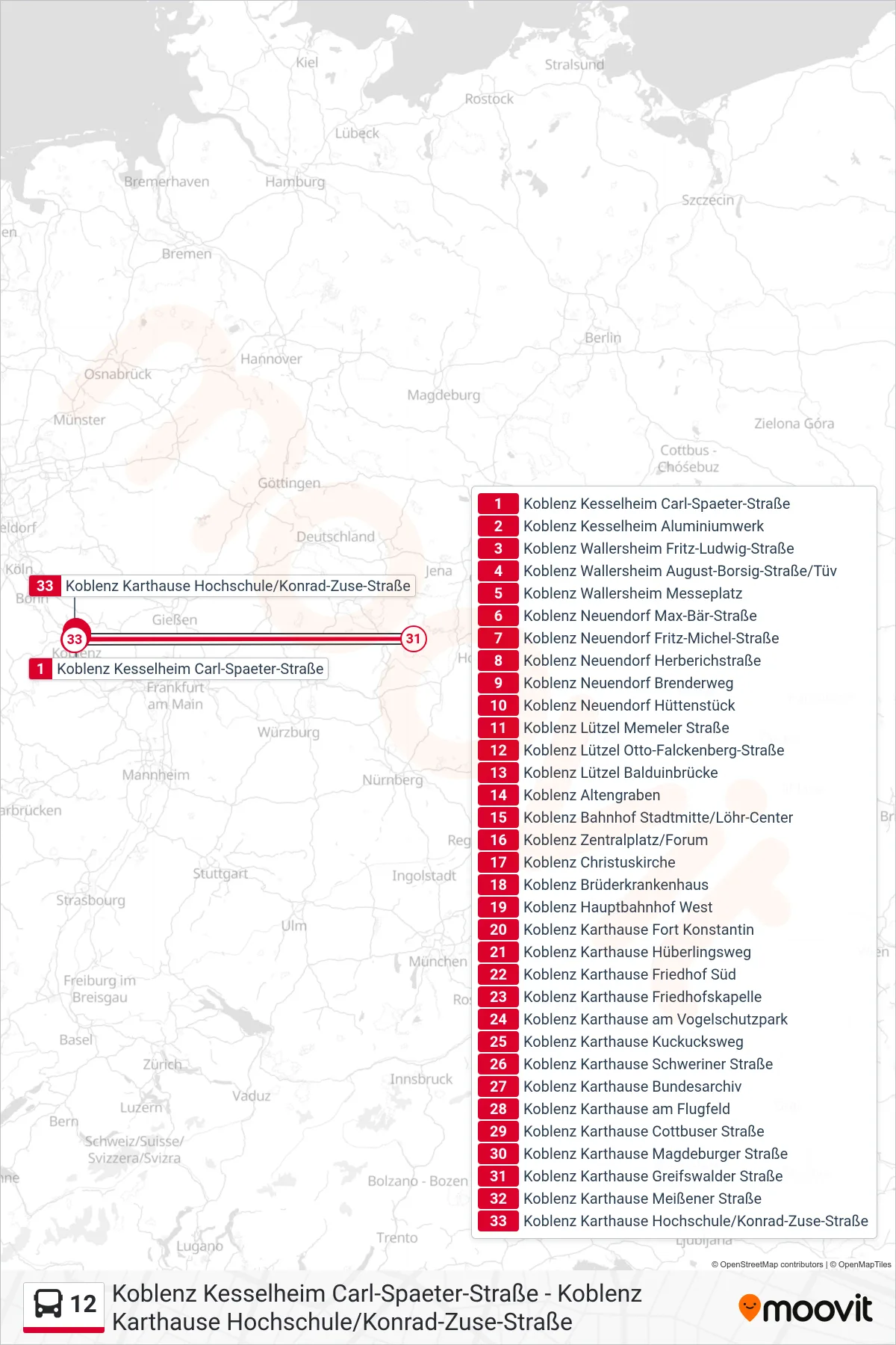
Stops list (12 - Koblenz Karthause Hochschule/Konrad-Zuse-Straße)
- Koblenz Kesselheim Carl-Spaeter-Straße
- Koblenz Kesselheim Aluminiumwerk
- Koblenz Wallersheim Fritz-Ludwig-Straße
- Koblenz Wallersheim August-Borsig-Straße/Tüv
- Koblenz Wallersheim Messeplatz
- Koblenz Neuendorf Max-Bär-Straße
- Koblenz Neuendorf Fritz-Michel-Straße
- Koblenz Neuendorf Herberichstraße
- Koblenz Neuendorf Brenderweg
- Koblenz Neuendorf Hüttenstück
- Koblenz Lützel Memeler Straße
- Koblenz Lützel Otto-Falckenberg-Straße
- Koblenz Lützel Balduinbrücke
- Koblenz Altengraben
- Koblenz Bahnhof Stadtmitte/Löhr-Center
- Koblenz Zentralplatz/Forum
- Koblenz Christuskirche
- Koblenz Brüderkrankenhaus
- Koblenz Hauptbahnhof West
- Koblenz Karthause Fort Konstantin
- Koblenz Karthause Hüberlingsweg
- Koblenz Karthause Friedhof Süd
- Koblenz Karthause Friedhofskapelle
- Koblenz Karthause am Vogelschutzpark
- Koblenz Karthause Kuckucksweg
- Koblenz Karthause Schweriner Straße
- Koblenz Karthause Bundesarchiv
- Koblenz Karthause am Flugfeld
- Koblenz Karthause Cottbuser Straße
- Koblenz Karthause Magdeburger Straße
- Koblenz Karthause Greifswalder Straße
- Koblenz Karthause Meißener Straße
- Koblenz Karthause Hochschule/Konrad-Zuse-Straße