
12 Bus Route Map
View the 12 route map and see all 12 stops along the route. The map of 12 shows where the bus travels and the location of each stop, making it easy to understand the entire route at a glance.
Explore KVG Bus routes on the map and see where KVG Bus bus services operate. Use the 12 map to find bus stops and see how the 12 connects different areas along its trip.
All 12 stops on the map are displayed in route order, helping you follow the 12 bus from the first stop to the last.
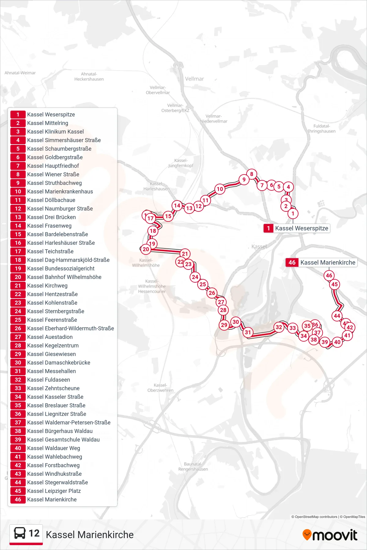
Stops list (12 - Kassel Marienkirche)
- Kassel Weserspitze
- Kassel Mittelring
- Kassel Klinikum Kassel
- Kassel Simmershäuser Straße
- Kassel Schaumbergstraße
- Kassel Goldbergstraße
- Kassel Hauptfriedhof
- Kassel Wiener Straße
- Kassel Struthbachweg
- Kassel Marienkrankenhaus
- Kassel Döllbachaue
- Kassel Naumburger Straße
- Kassel Drei Brücken
- Kassel Frasenweg
- Kassel Bardelebenstraße
- Kassel Harleshäuser Straße
- Kassel Teichstraße
- Kassel Dag-Hammarskjöld-Straße
- Kassel Bundessozialgericht
- Kassel Bahnhof Wilhelmshöhe
- Kassel Kirchweg
- Kassel Hentzestraße
- Kassel Kohlenstraße
- Kassel Sternbergstraße
- Kassel Feerenstraße
- Kassel Eberhard-Wildermuth-Straße
- Kassel Auestadion
- Kassel Kegelzentrum
- Kassel Giesewiesen
- Kassel Damaschkebrücke
- Kassel Messehallen
- Kassel Fuldaseen
- Kassel Zehntscheune
- Kassel Kasseler Straße
- Kassel Breslauer Straße
- Kassel Liegnitzer Straße
- Kassel Waldemar-Petersen-Straße
- Kassel Bürgerhaus Waldau
- Kassel Gesamtschule Waldau
- Kassel Waldauer Weg
- Kassel Wahlebachweg
- Kassel Forstbachweg
- Kassel Windhukstraße
- Kassel Stegerwaldstraße
- Kassel Leipziger Platz
- Kassel Marienkirche