
12 Bus Route Map
View the 12 route map and see all 12 stops along the route. The map of 12 shows where the bus travels and the location of each stop, making it easy to understand the entire route at a glance.
Explore Broward County Transit routes on the map and see where Broward County Transit bus services operate. Use the 12 map to find bus stops and see how the 12 connects different areas along its trip.
All 12 stops on the map are displayed in route order, helping you follow the 12 bus from the first stop to the last.
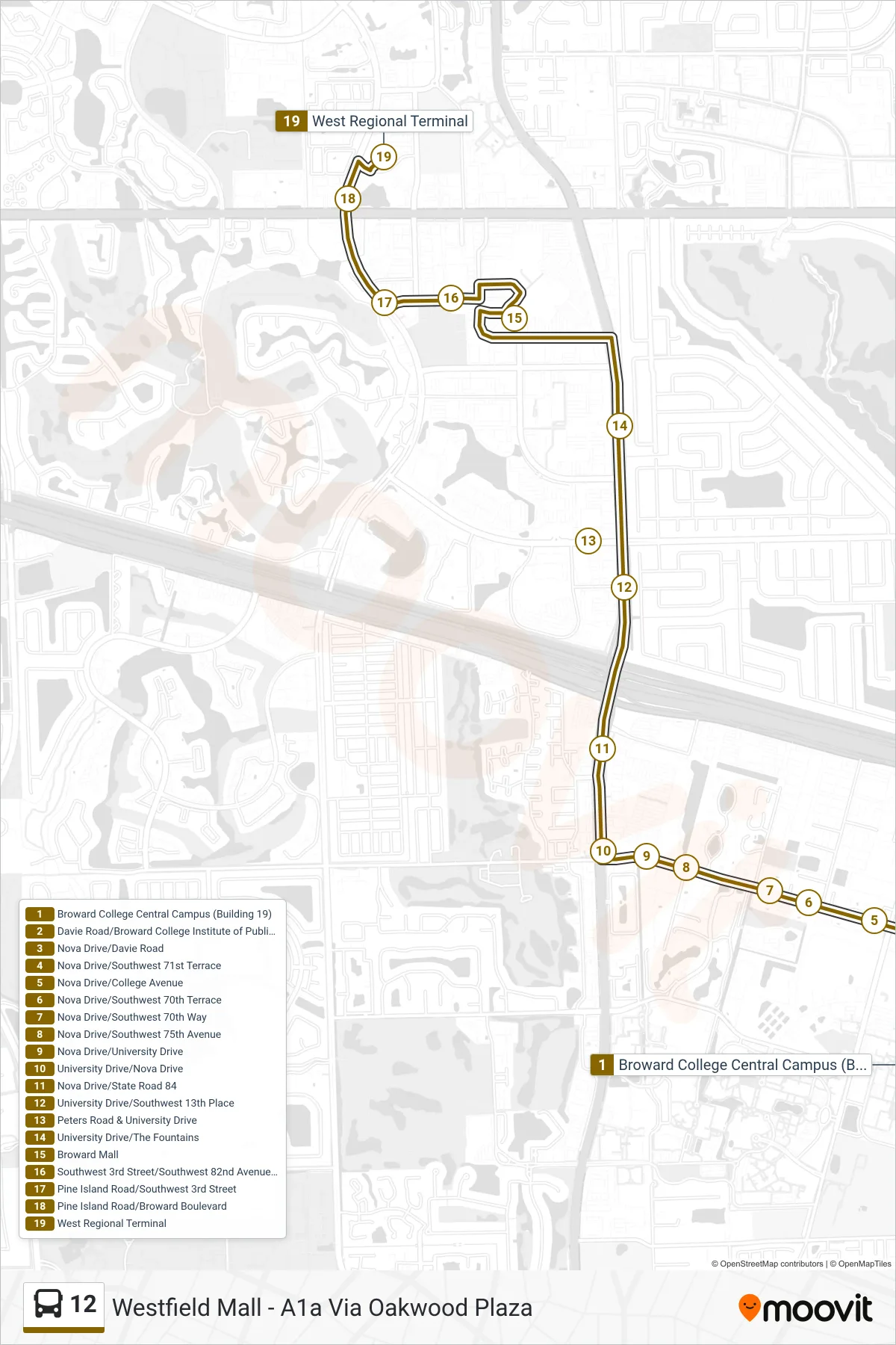
Stops list (12 - West Terminal)
- Broward College Central Campus (Building 19)
- Davie Road/Broward College Institute of Public Safety
- Nova Drive/Davie Road
- Nova Drive/Southwest 71st Terrace
- Nova Drive/College Avenue
- Nova Drive/Southwest 70th Terrace
- Nova Drive/Southwest 70th Way
- Nova Drive/Southwest 75th Avenue
- Nova Drive/University Drive
- University Drive/Nova Drive
- Nova Drive/State Road 84
- University Drive/Southwest 13th Place
- Peters Road & University Drive
- University Drive/The Fountains
- Broward Mall
- Southwest 3rd Street/Southwest 82nd Avenue (Fire Department)
- Pine Island Road/Southwest 3rd Street
- Pine Island Road/Broward Boulevard
- West Regional Terminal