
12 Bus Route Map
View the 12 route map and see all 12 stops along the route. The map of 12 shows where the bus travels and the location of each stop, making it easy to understand the entire route at a glance.
Explore Salzburg AG (OBus) routes on the map and see where Salzburg AG (OBus) bus services operate. Use the 12 map to find bus stops and see how the 12 connects different areas along its trip.
All 12 stops on the map are displayed in route order, helping you follow the 12 bus from the first stop to the last.
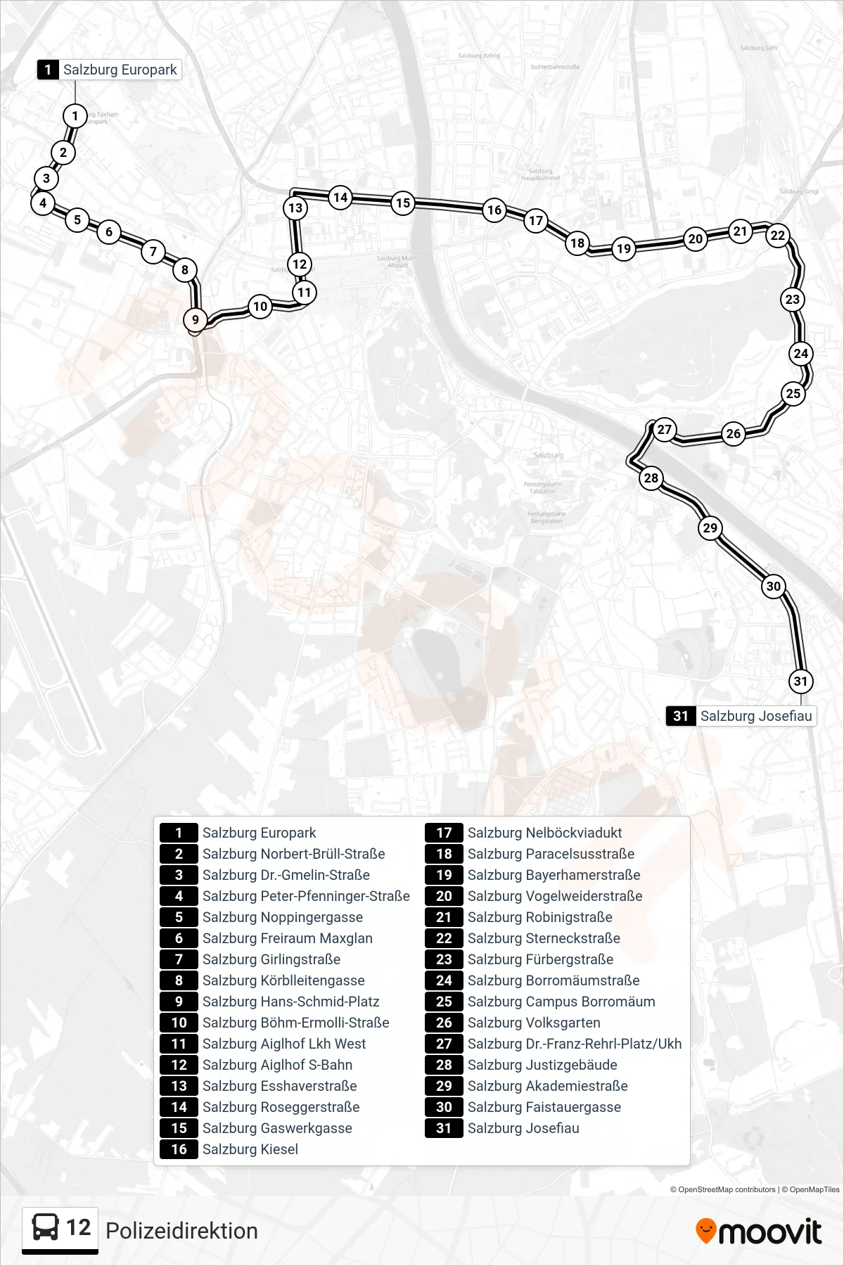
Stops list (12 - Polizeidirektion)
- Salzburg Europark
- Salzburg Norbert-Brüll-Straße
- Salzburg Dr.-Gmelin-Straße
- Salzburg Peter-Pfenninger-Straße
- Salzburg Noppingergasse
- Salzburg Freiraum Maxglan
- Salzburg Girlingstraße
- Salzburg Körblleitengasse
- Salzburg Hans-Schmid-Platz
- Salzburg Böhm-Ermolli-Straße
- Salzburg Aiglhof Lkh West
- Salzburg Aiglhof S-Bahn
- Salzburg Esshaverstraße
- Salzburg Roseggerstraße
- Salzburg Gaswerkgasse
- Salzburg Kiesel
- Salzburg Nelböckviadukt
- Salzburg Paracelsusstraße
- Salzburg Bayerhamerstraße
- Salzburg Vogelweiderstraße
- Salzburg Robinigstraße
- Salzburg Sterneckstraße
- Salzburg Fürbergstraße
- Salzburg Borromäumstraße
- Salzburg Campus Borromäum
- Salzburg Volksgarten
- Salzburg Dr.-Franz-Rehrl-Platz/Ukh
- Salzburg Justizgebäude
- Salzburg Akademiestraße
- Salzburg Faistauergasse
- Salzburg Josefiau