
120 Bus Route Map
View the 120 route map and see all 120 stops along the route. The map of 120 shows where the bus travels and the location of each stop, making it easy to understand the entire route at a glance.
Explore Bus Átha Cliath – Dublin Bus routes on the map and see where Bus Átha Cliath – Dublin Bus bus services operate. Use the 120 map to find bus stops and see how the 120 connects different areas along its trip.
All 120 stops on the map are displayed in route order, helping you follow the 120 bus from the first stop to the last.
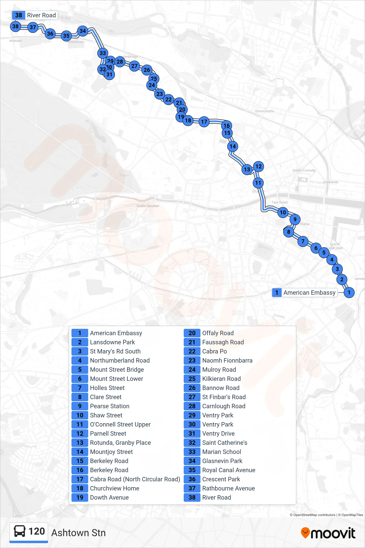
Stops list (120 - Ashtown Stn)
- American Embassy
- Lansdowne Park
- St Mary's Rd South
- Northumberland Road
- Mount Street Bridge
- Mount Street Lower
- Holles Street
- Clare Street
- Pearse Station
- Shaw Street
- O'Connell Street Upper
- Parnell Street
- Rotunda, Granby Place
- Mountjoy Street
- Berkeley Road
- Berkeley Road
- Cabra Road (North Circular Road)
- Churchview Home
- Dowth Avenue
- Offaly Road
- Faussagh Road
- Cabra Po
- Naomh Fionnbarra
- Mulroy Road
- Kilkieran Road
- Bannow Road
- St Finbar's Road
- Carnlough Road
- Ventry Park
- Ventry Park
- Ventry Drive
- Saint Catherine's
- Marian School
- Glasnevin Park
- Royal Canal Avenue
- Crescent Park
- Rathbourne Avenue
- River Road