
120 Bus Route Map
View the 120 route map and see all 120 stops along the route. The map of 120 shows where the bus travels and the location of each stop, making it easy to understand the entire route at a glance.
Explore SamTrans routes on the map and see where SamTrans bus services operate. Use the 120 map to find bus stops and see how the 120 connects different areas along its trip.
All 120 stops on the map are displayed in route order, helping you follow the 120 bus from the first stop to the last.
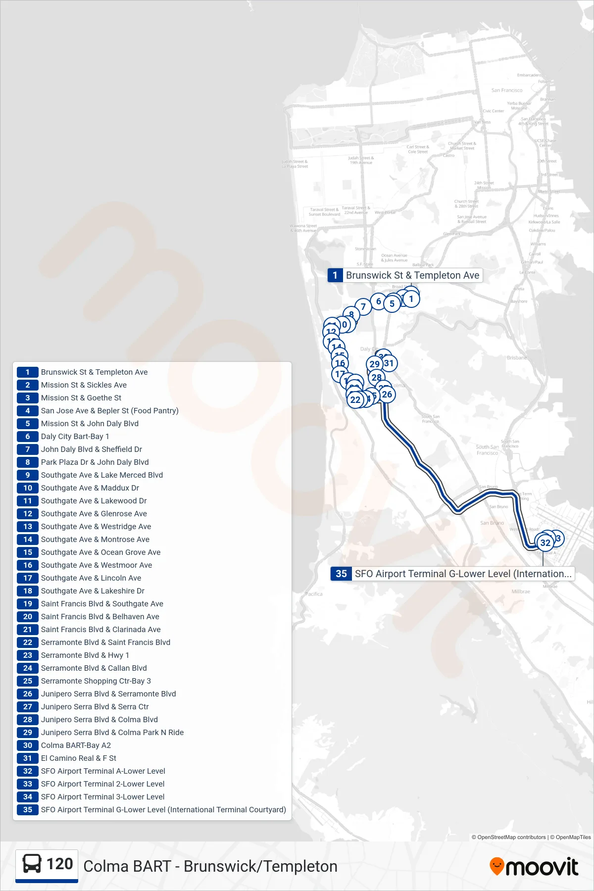
Stops list (120 - SFO)
- Brunswick St & Templeton Ave
- Mission St & Sickles Ave
- Mission St & Goethe St
- San Jose Ave & Bepler St (Food Pantry)
- Mission St & John Daly Blvd
- Daly City Bart-Bay 1
- John Daly Blvd & Sheffield Dr
- Park Plaza Dr & John Daly Blvd
- Southgate Ave & Lake Merced Blvd
- Southgate Ave & Maddux Dr
- Southgate Ave & Lakewood Dr
- Southgate Ave & Glenrose Ave
- Southgate Ave & Westridge Ave
- Southgate Ave & Montrose Ave
- Southgate Ave & Ocean Grove Ave
- Southgate Ave & Westmoor Ave
- Southgate Ave & Lincoln Ave
- Southgate Ave & Lakeshire Dr
- Saint Francis Blvd & Southgate Ave
- Saint Francis Blvd & Belhaven Ave
- Saint Francis Blvd & Clarinada Ave
- Serramonte Blvd & Saint Francis Blvd
- Serramonte Blvd & Hwy 1
- Serramonte Blvd & Callan Blvd
- Serramonte Shopping Ctr-Bay 3
- Junipero Serra Blvd & Serramonte Blvd
- Junipero Serra Blvd & Serra Ctr
- Junipero Serra Blvd & Colma Blvd
- Junipero Serra Blvd & Colma Park N Ride
- Colma BART-Bay A2
- El Camino Real & F St
- SFO Airport Terminal A-Lower Level
- SFO Airport Terminal 2-Lower Level
- SFO Airport Terminal 3-Lower Level
- SFO Airport Terminal G-Lower Level (International Terminal Courtyard)