
125 Bus Route Map
View the 125 route map and see all 125 stops along the route. The map of 125 shows where the bus travels and the location of each stop, making it easy to understand the entire route at a glance.
Explore Ruhrbahn Mülheim routes on the map and see where Ruhrbahn Mülheim bus services operate. Use the 125 map to find bus stops and see how the 125 connects different areas along its trip.
All 125 stops on the map are displayed in route order, helping you follow the 125 bus from the first stop to the last.
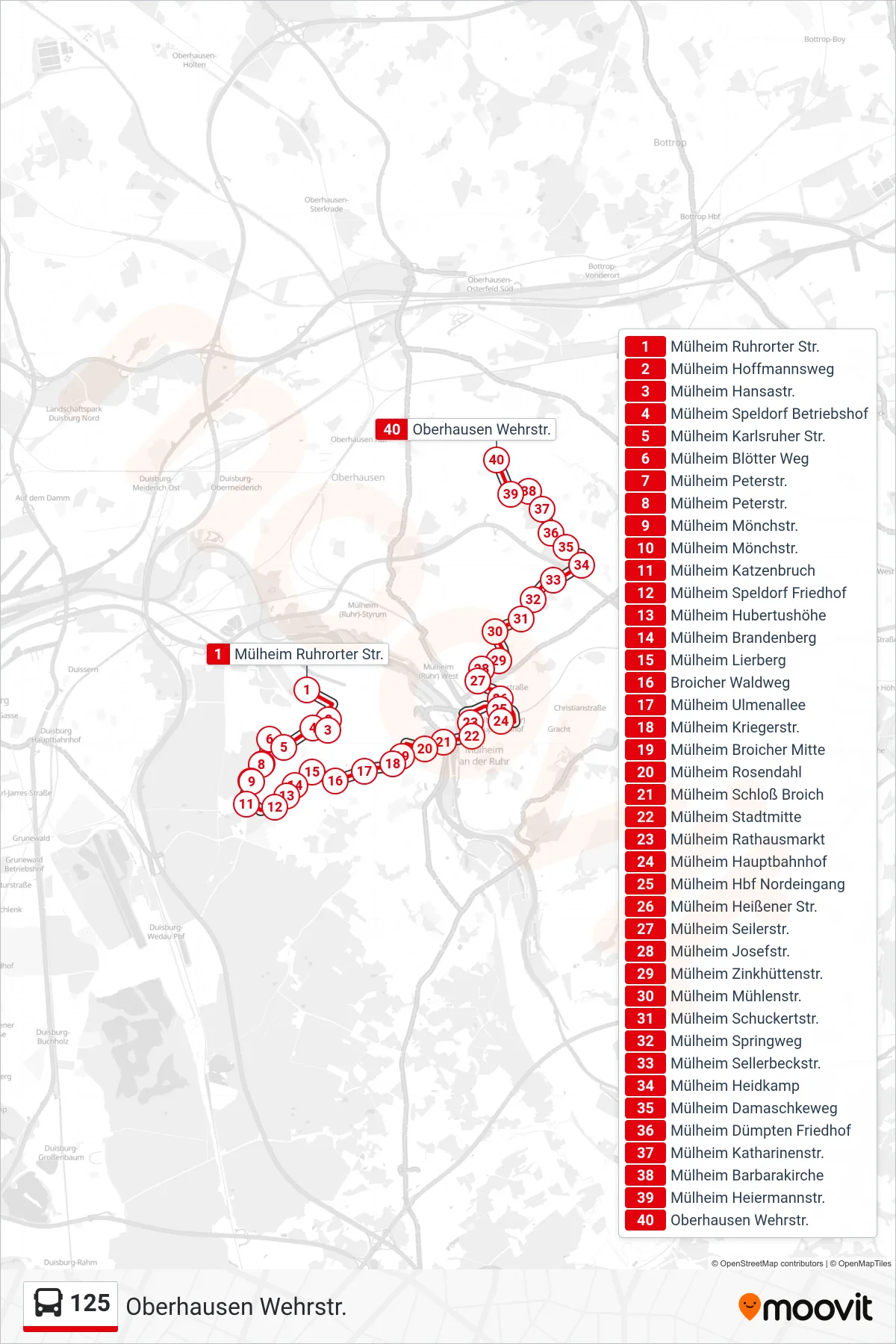
Stops list (125 - Oberhausen Wehrstr.)
- Mülheim Ruhrorter Str.
- Mülheim Hoffmannsweg
- Mülheim Hansastr.
- Mülheim Speldorf Betriebshof
- Mülheim Karlsruher Str.
- Mülheim Blötter Weg
- Mülheim Peterstr.
- Mülheim Peterstr.
- Mülheim Mönchstr.
- Mülheim Mönchstr.
- Mülheim Katzenbruch
- Mülheim Speldorf Friedhof
- Mülheim Hubertushöhe
- Mülheim Brandenberg
- Mülheim Lierberg
- Broicher Waldweg
- Mülheim Ulmenallee
- Mülheim Kriegerstr.
- Mülheim Broicher Mitte
- Mülheim Rosendahl
- Mülheim Schloß Broich
- Mülheim Stadtmitte
- Mülheim Rathausmarkt
- Mülheim Hauptbahnhof
- Mülheim Hbf Nordeingang
- Mülheim Heißener Str.
- Mülheim Seilerstr.
- Mülheim Josefstr.
- Mülheim Zinkhüttenstr.
- Mülheim Mühlenstr.
- Mülheim Schuckertstr.
- Mülheim Springweg
- Mülheim Sellerbeckstr.
- Mülheim Heidkamp
- Mülheim Damaschkeweg
- Mülheim Dümpten Friedhof
- Mülheim Katharinenstr.
- Mülheim Barbarakirche
- Mülheim Heiermannstr.
- Oberhausen Wehrstr.
Change direction
- Route Map - 125 - Mülheim Heidkamp
- Route Map - 125 - Mülheim Hauptbahnhof
- Route Map - 125 - Mülheim Hauptbahnhof
- Route Map - 125 - Mülheim Speldorf Friedhof
- Route Map - 125 - Mülheim Ruhrorter Str.
- Route Map - 125 - Mülheim Stadtmitte
- Route Map - 125 - Mülheim Stadtmitte
- Route Map - 125 - Mülheim Peterstr.