
126 Tram Route Map
View the 126 route map and see all 126 stops along the route. The map of 126 shows where the tram travels and the location of each stop, making it easy to understand the entire route at a glance.
Explore routes on the map and see where tram services operate. Use the 126 map to find tram stations and see how the 126 connects different areas along its trip.
All 126 stops on the map are displayed in route order, helping you follow the 126 tram from the first station to the last.
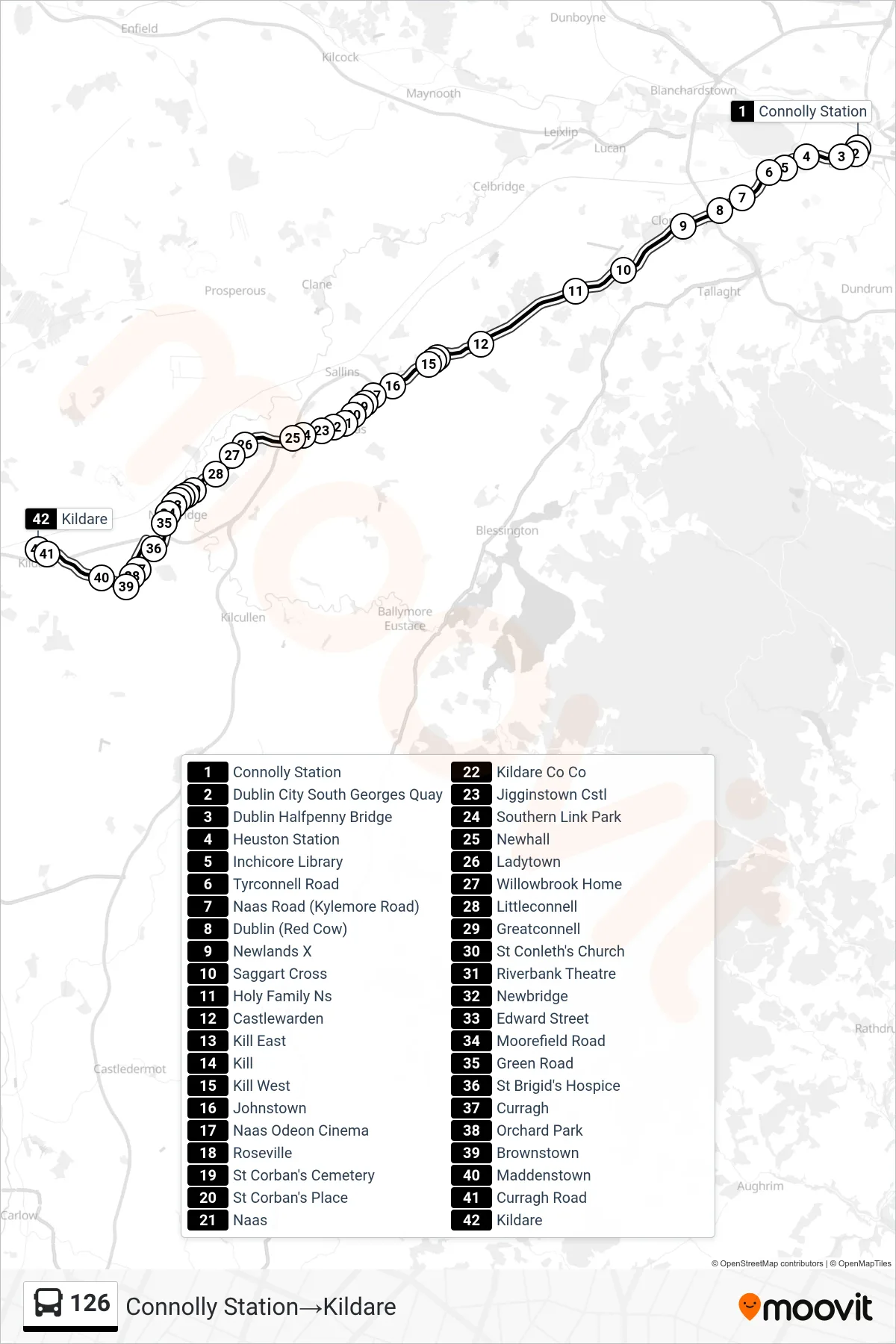
Stops list (126 - Connolly Station→Kildare)
- Connolly Station
- Dublin City South Georges Quay
- Dublin Halfpenny Bridge
- Heuston Station
- Inchicore Library
- Tyrconnell Road
- Naas Road (Kylemore Road)
- Dublin (Red Cow)
- Newlands X
- Saggart Cross
- Holy Family Ns
- Castlewarden
- Kill East
- Kill
- Kill West
- Johnstown
- Naas Odeon Cinema
- Roseville
- St Corban's Cemetery
- St Corban's Place
- Naas
- Kildare Co Co
- Jigginstown Cstl
- Southern Link Park
- Newhall
- Ladytown
- Willowbrook Home
- Littleconnell
- Greatconnell
- St Conleth's Church
- Riverbank Theatre
- Newbridge
- Edward Street
- Moorefield Road
- Green Road
- St Brigid's Hospice
- Curragh
- Orchard Park
- Brownstown
- Maddenstown
- Curragh Road
- Kildare
Change direction
- Route Map - 126 - Newbridge→Mayor Street Lower
- Route Map - 126 - Kildare→Mayor Street Lower
- Route Map - 126 - Kill East→Kildare
- Route Map - 126 - Toughers Ind Estate→Kildare
- Route Map - 126 - Connolly Station→Newbridge
- Route Map - 126 - St Brigid's Church→Newbridge
- Route Map - 126 - Kildare→St Brigid's Church
- Route Map - 126 - Dcu Collins Avenue→Newbridge
- Route Map - 126 - Ladytown→Mayor Street Lower
- Route Map - 126 - Connolly Station→Rathangan
- Route Map - 126 - Naas→Mayor Street Lower
- Route Map - 126 - Rathangan→Mayor Street Lower