
126 Bus Route Map
View the 126 route map and see all 126 stops along the route. The map of 126 shows where the bus travels and the location of each stop, making it easy to understand the entire route at a glance.
Explore KBS routes on the map and see where KBS bus services operate. Use the 126 map to find bus stops and see how the 126 connects different areas along its trip.
All 126 stops on the map are displayed in route order, helping you follow the 126 bus from the first stop to the last.
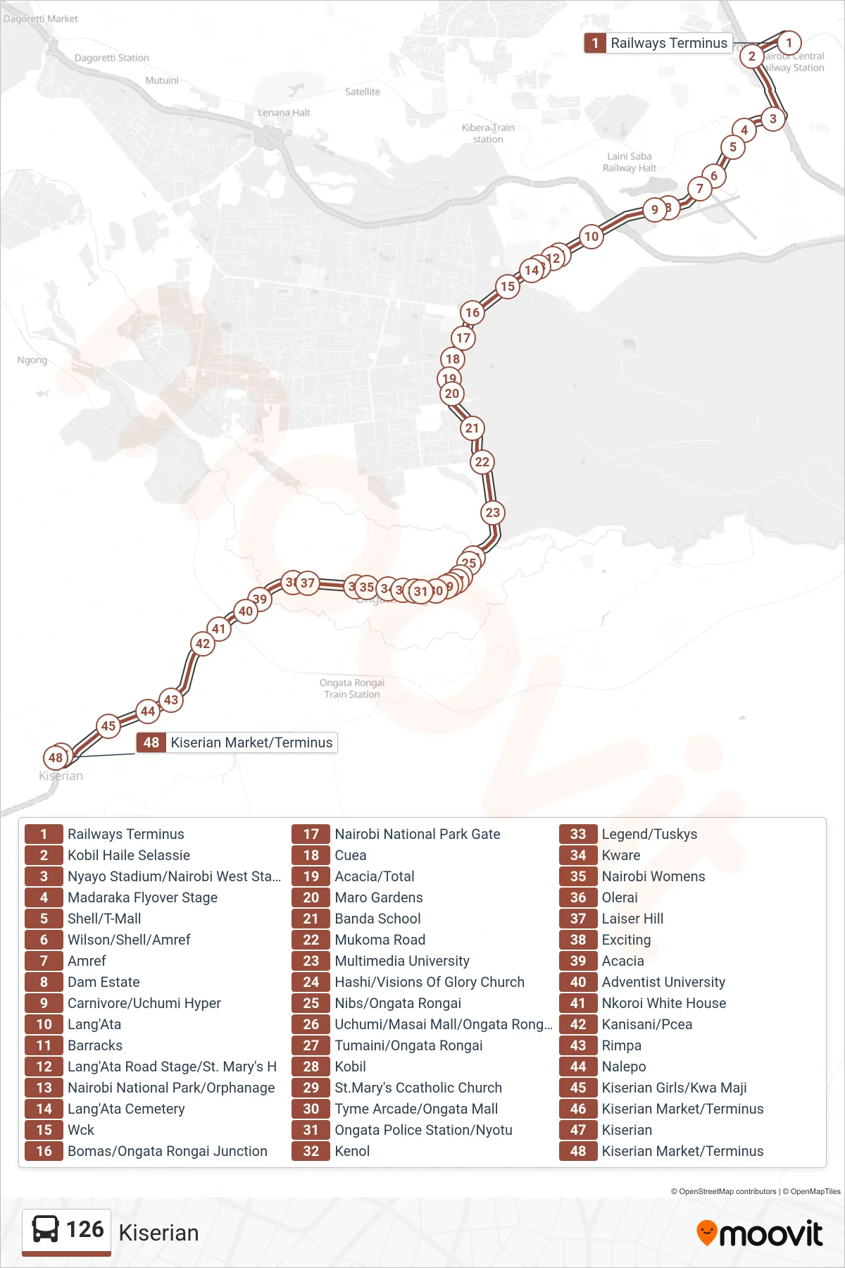
Stops list (126 - Kiserian)
- Railways Terminus
- Kobil Haile Selassie
- Nyayo Stadium/Nairobi West Stage
- Madaraka Flyover Stage
- Shell/T-Mall
- Wilson/Shell/Amref
- Amref
- Dam Estate
- Carnivore/Uchumi Hyper
- Lang'Ata
- Barracks
- Lang'Ata Road Stage/St. Mary's H
- Nairobi National Park/Orphanage
- Lang'Ata Cemetery
- Wck
- Bomas/Ongata Rongai Junction
- Nairobi National Park Gate
- Cuea
- Acacia/Total
- Maro Gardens
- Banda School
- Mukoma Road
- Multimedia University
- Hashi/Visions Of Glory Church
- Nibs/Ongata Rongai
- Uchumi/Masai Mall/Ongata Rongai
- Tumaini/Ongata Rongai
- Kobil
- St.Mary's Ccatholic Church
- Tyme Arcade/Ongata Mall
- Ongata Police Station/Nyotu
- Kenol
- Legend/Tuskys
- Kware
- Nairobi Womens
- Olerai
- Laiser Hill
- Exciting
- Acacia
- Adventist University
- Nkoroi White House
- Kanisani/Pcea
- Rimpa
- Nalepo
- Kiserian Girls/Kwa Maji
- Kiserian Market/Terminus
- Kiserian
- Kiserian Market/Terminus