
133 Bus Route Map
View the 133 route map and see all 133 stops along the route. The map of 133 shows where the bus travels and the location of each stop, making it easy to understand the entire route at a glance.
Explore Arezzo, Siena and Provinces - Tuscan Bus Lines routes on the map and see where Arezzo, Siena and Provinces - Tuscan Bus Lines bus services operate. Use the 133 map to find bus stops and see how the 133 connects different areas along its trip.
All 133 stops on the map are displayed in route order, helping you follow the 133 bus from the first stop to the last.
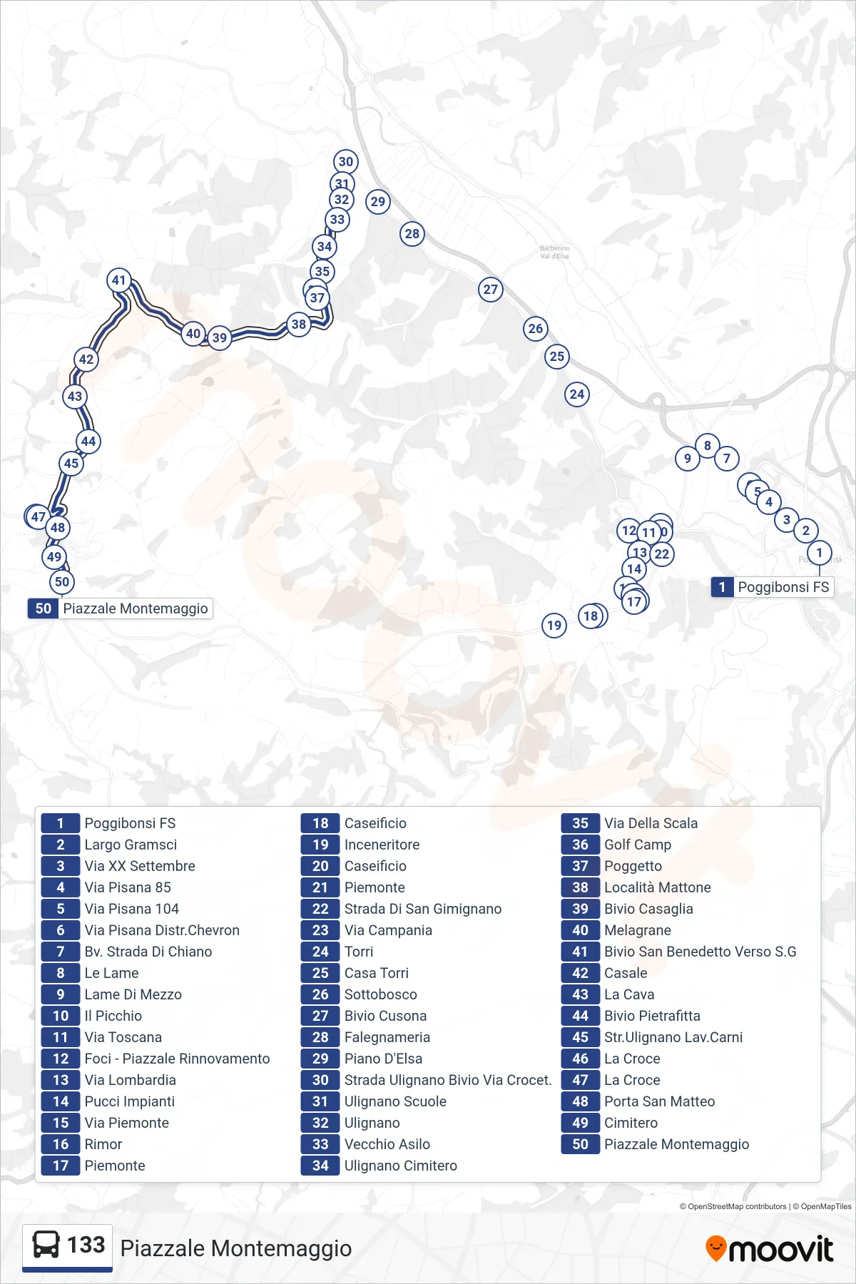
Stops list (133 - Montemaggio Square)
- Poggibonsi Railway Station
- Gramsci Square
- XX Settembre Street
- Pisana Road 85
- Via Pisana 104
- Via Pisana Chevron Station
- Chiano Road Junction
- Le Lame
- Lame Di Mezzo
- Il Picchio
- Tuscany Street
- Foci - Piazzale Rinnovamento
- Lombardia Street
- Pucci Facilities
- Piemonte Street
- Rimor
- Piedmont
- Cheese Factory
- Incinerator
- Cheese Factory
- Piedmont
- San Gimignano Road
- Campania Street
- Towers
- Casa Torri
- Undergrowth
- Cusona Junction
- Carpentry
- Piano d'Elsa
- Ulignano Road Crocet Junction
- Ulignano Schools
- Ulignano
- Old Kindergarten
- Ulignano Cemetery
- Scala Street
- Golf Camp
- Poggetto
- Mattone Location
- Casaglia Junction
- Melagrane
- San Benedetto Junction Towards S.G
- Casale
- La Cava
- Pietrafitta Junction
- Ulignano Meat Works Road
- La Croce
- La Croce
- San Matteo Gate
- Cemetery
- Montemaggio Square