
133 Bus Route Map
View the 133 route map and see all 133 stops along the route. The map of 133 shows where the bus travels and the location of each stop, making it easy to understand the entire route at a glance.
Explore Bus Éireann routes on the map and see where Bus Éireann bus services operate. Use the 133 map to find bus stops and see how the 133 connects different areas along its trip.
All 133 stops on the map are displayed in route order, helping you follow the 133 bus from the first stop to the last.
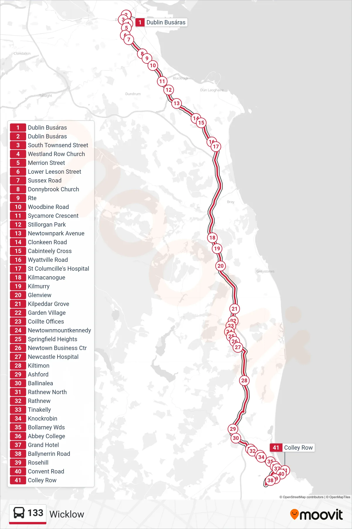
Stops list (133 - Wicklow)
- Dublin Busáras
- Dublin Busáras
- South Townsend Street
- Westland Row Church
- Merrion Street
- Lower Leeson Street
- Sussex Road
- Donnybrook Church
- Rte
- Woodbine Road
- Sycamore Crescent
- Stillorgan Park
- Newtownpark Avenue
- Clonkeen Road
- Cabinteely Cross
- Wyattville Road
- St Columcille's Hospital
- Kilmacanogue
- Kilmurry
- Glenview
- Kilpeddar Grove
- Garden Village
- Coillte Offices
- Newtownmountkennedy
- Springfield Heights
- Newtown Business Ctr
- Newcastle Hospital
- Kiltimon
- Ashford
- Ballinalea
- Rathnew North
- Rathnew
- Tinakelly
- Knockrobin
- Bollarney Wds
- Abbey College
- Grand Hotel
- Ballynerrin Road
- Rosehill
- Convent Road
- Colley Row