
14 Bus Route Map
View the 14 route map and see all 14 stops along the route. The map of 14 shows where the bus travels and the location of each stop, making it easy to understand the entire route at a glance.
Explore Start routes on the map and see where Start bus services operate. Use the 14 map to find bus stops and see how the 14 connects different areas along its trip.
All 14 stops on the map are displayed in route order, helping you follow the 14 bus from the first stop to the last.
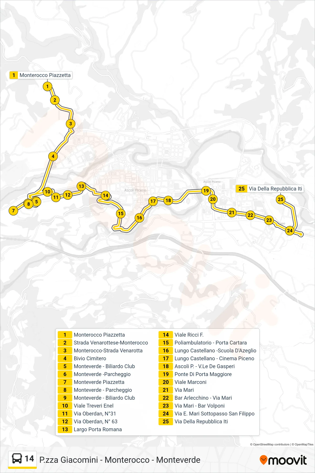
Stops list (14 - Via Della Repubblica ITI)
- Monterocco Square
- Venarottese-Monterocco Road
- Monterocco-Venarotta Road
- Cemetery Junction
- Monteverde - Billiard Club
- Monteverde - Parking
- Monteverde Square
- Monteverde - Parking
- Monteverde - Billiard Club
- Treveri Avenue Enel
- Via Oberdan, No. 31
- Via Oberdan, No. 63
- Porta Romana Square
- Viale Ricci F.
- Medical Center - Porta Cartara
- Lungo Castellano - D'Azeglio School
- Lungo Castellano - Piceno Cinema
- Ascoli Piceno - De Gasperi Avenue
- Porta Maggiore Bridge
- Marconi Avenue
- Mari Street
- Arlecchino Bar - Mari Street
- Mari Street - Volponi Bar
- E. Mari Street San Filippo Underpass
- Via Della Repubblica ITI