
14 Bus Route Map
View the 14 route map and see all 14 stops along the route. The map of 14 shows where the bus travels and the location of each stop, making it easy to understand the entire route at a glance.
Explore WRTA routes on the map and see where WRTA bus services operate. Use the 14 map to find bus stops and see how the 14 connects different areas along its trip.
All 14 stops on the map are displayed in route order, helping you follow the 14 bus from the first stop to the last.
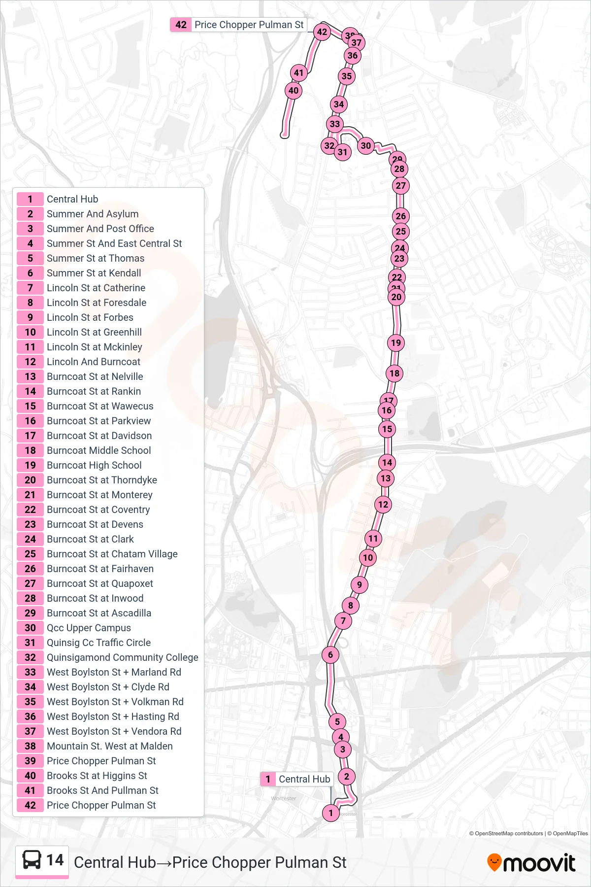
Stops list (14 - Central Hub→Price Chopper Pulman St)
- Central Hub
- Summer And Asylum
- Summer And Post Office
- Summer St And East Central St
- Summer St at Thomas
- Summer St at Kendall
- Lincoln St at Catherine
- Lincoln St at Foresdale
- Lincoln St at Forbes
- Lincoln St at Greenhill
- Lincoln St at Mckinley
- Lincoln And Burncoat
- Burncoat St at Nelville
- Burncoat St at Rankin
- Burncoat St at Wawecus
- Burncoat St at Parkview
- Burncoat St at Davidson
- Burncoat Middle School
- Burncoat High School
- Burncoat St at Thorndyke
- Burncoat St at Monterey
- Burncoat St at Coventry
- Burncoat St at Devens
- Burncoat St at Clark
- Burncoat St at Chatam Village
- Burncoat St at Fairhaven
- Burncoat St at Quapoxet
- Burncoat St at Inwood
- Burncoat St at Ascadilla
- Qcc Upper Campus
- Quinsig Cc Traffic Circle
- Quinsigamond Community College
- West Boylston St + Marland Rd
- West Boylston St + Clyde Rd
- West Boylston St + Volkman Rd
- West Boylston St + Hasting Rd
- West Boylston St + Vendora Rd
- Mountain St. West at Malden
- Price Chopper Pulman St
- Brooks St at Higgins St
- Brooks St And Pullman St
- Price Chopper Pulman St