
140 Bus Route Map
View the 140 route map and see all 140 stops along the route. The map of 140 shows where the bus travels and the location of each stop, making it easy to understand the entire route at a glance.
Explore Valley Metro-Bus routes on the map and see where Valley Metro-Bus bus services operate. Use the 140 map to find bus stops and see how the 140 connects different areas along its trip.
All 140 stops on the map are displayed in route order, helping you follow the 140 bus from the first stop to the last.
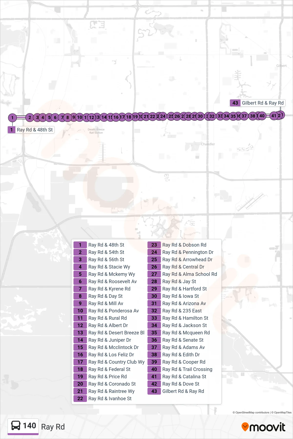
Stops list (140 - Gilbert Rd+Ray Rd)
- Ray Rd & 48th St
- Ray Rd & 54th St
- Ray Rd & 56th St
- Ray Rd & Stacie Wy
- Ray Rd & Mckemy Wy
- Ray Rd & Roosevelt Av
- Ray Rd & Kyrene Rd
- Ray Rd & Day St
- Ray Rd & Mill Av
- Ray Rd & Ponderosa Av
- Ray Rd & Rural Rd
- Ray Rd & Albert Dr
- Ray Rd & Desert Breeze Bl
- Ray Rd & Juniper Dr
- Ray Rd & Mcclintock Dr
- Ray Rd & Los Feliz Dr
- Ray Rd & Country Club Wy
- Ray Rd & Federal St
- Ray Rd & Price Rd
- Ray Rd & Coronado St
- Ray Rd & Raintree Wy
- Ray Rd & Ivanhoe St
- Ray Rd & Dobson Rd
- Ray Rd & Pennington Dr
- Ray Rd & Arrowhead Dr
- Ray Rd & Central Dr
- Ray Rd & Alma School Rd
- Ray Rd & Jay St
- Ray Rd & Hartford St
- Ray Rd & Iowa St
- Ray Rd & Arizona Av
- Ray Rd & 235 East
- Ray Rd & Hamilton St
- Ray Rd & Jackson St
- Ray Rd & Mcqueen Rd
- Ray Rd & Senate St
- Ray Rd & Adams Av
- Ray Rd & Edith Dr
- Ray Rd & Cooper Rd
- Ray Rd & Trail Crossing
- Ray Rd & Catalina St
- Ray Rd & Dove St
- Gilbert Rd & Ray Rd