
143 Bus Route Map
View the 143 route map and see all 143 stops along the route. The map of 143 shows where the bus travels and the location of each stop, making it easy to understand the entire route at a glance.
Explore Sydtrafik routes on the map and see where Sydtrafik bus services operate. Use the 143 map to find bus stops and see how the 143 connects different areas along its trip.
All 143 stops on the map are displayed in route order, helping you follow the 143 bus from the first stop to the last.
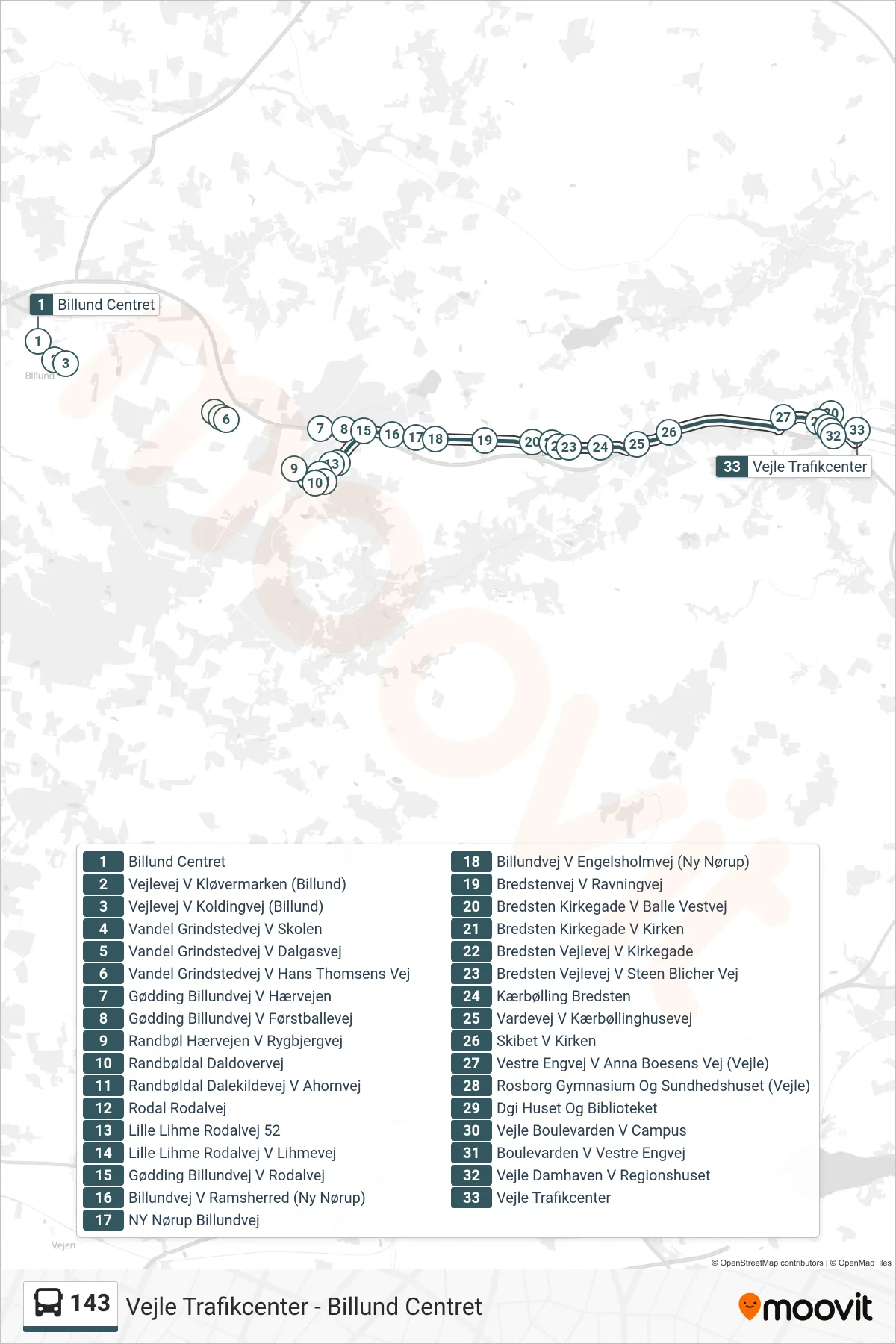
Stops list (143 - Vejle)
- Billund Centret
- Vejlevej V Kløvermarken (Billund)
- Vejlevej V Koldingvej (Billund)
- Vandel Grindstedvej V Skolen
- Vandel Grindstedvej V Dalgasvej
- Vandel Grindstedvej V Hans Thomsens Vej
- Gødding Billundvej V Hærvejen
- Gødding Billundvej V Førstballevej
- Randbøl Hærvejen V Rygbjergvej
- Randbøldal Daldovervej
- Randbøldal Dalekildevej V Ahornvej
- Rodal Rodalvej
- Lille Lihme Rodalvej 52
- Lille Lihme Rodalvej V Lihmevej
- Gødding Billundvej V Rodalvej
- Billundvej V Ramsherred (Ny Nørup)
- NY Nørup Billundvej
- Billundvej V Engelsholmvej (Ny Nørup)
- Bredstenvej V Ravningvej
- Bredsten Kirkegade V Balle Vestvej
- Bredsten Kirkegade V Kirken
- Bredsten Vejlevej V Kirkegade
- Bredsten Vejlevej V Steen Blicher Vej
- Kærbølling Bredsten
- Vardevej V Kærbøllinghusevej
- Skibet V Kirken
- Vestre Engvej V Anna Boesens Vej (Vejle)
- Rosborg Gymnasium Og Sundhedshuset (Vejle)
- Dgi Huset Og Biblioteket
- Vejle Boulevarden V Campus
- Boulevarden V Vestre Engvej
- Vejle Damhaven V Regionshuset
- Vejle Trafikcenter