
144 Bus Route Map
View the 144 route map and see all 144 stops along the route. The map of 144 shows where the bus travels and the location of each stop, making it easy to understand the entire route at a glance.
Explore EVAG Bus routes on the map and see where EVAG Bus bus services operate. Use the 144 map to find bus stops and see how the 144 connects different areas along its trip.
All 144 stops on the map are displayed in route order, helping you follow the 144 bus from the first stop to the last.
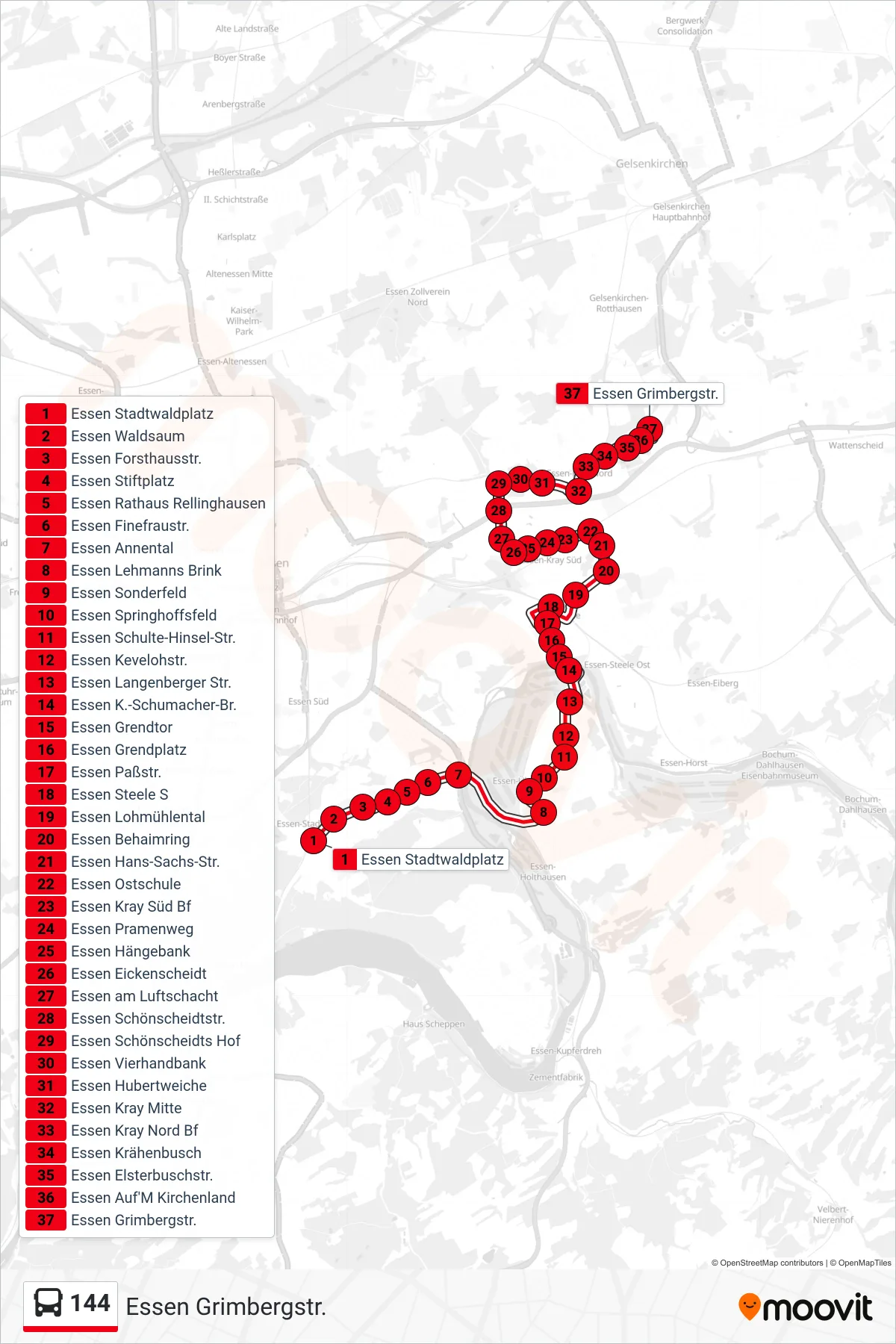
Stops list (144 - Essen Grimbergstr.)
- Essen Stadtwaldplatz
- Essen Waldsaum
- Essen Forsthausstr.
- Essen Stiftplatz
- Essen Rathaus Rellinghausen
- Essen Finefraustr.
- Essen Annental
- Essen Lehmanns Brink
- Essen Sonderfeld
- Essen Springhoffsfeld
- Essen Schulte-Hinsel-Str.
- Essen Kevelohstr.
- Essen Langenberger Str.
- Essen K.-Schumacher-Br.
- Essen Grendtor
- Essen Grendplatz
- Essen Paßstr.
- Essen Steele S
- Essen Lohmühlental
- Essen Behaimring
- Essen Hans-Sachs-Str.
- Essen Ostschule
- Essen Kray Süd Bf
- Essen Pramenweg
- Essen Hängebank
- Essen Eickenscheidt
- Essen am Luftschacht
- Essen Schönscheidtstr.
- Essen Schönscheidts Hof
- Essen Vierhandbank
- Essen Hubertweiche
- Essen Kray Mitte
- Essen Kray Nord Bf
- Essen Krähenbusch
- Essen Elsterbuschstr.
- Essen Auf'M Kirchenland
- Essen Grimbergstr.