
15 Bus Route Map
View the 15 route map and see all 15 stops along the route. The map of 15 shows where the bus travels and the location of each stop, making it easy to understand the entire route at a glance.
Explore Prato and Province - Tuscan Bus Lines routes on the map and see where Prato and Province - Tuscan Bus Lines bus services operate. Use the 15 map to find bus stops and see how the 15 connects different areas along its trip.
All 15 stops on the map are displayed in route order, helping you follow the 15 bus from the first stop to the last.
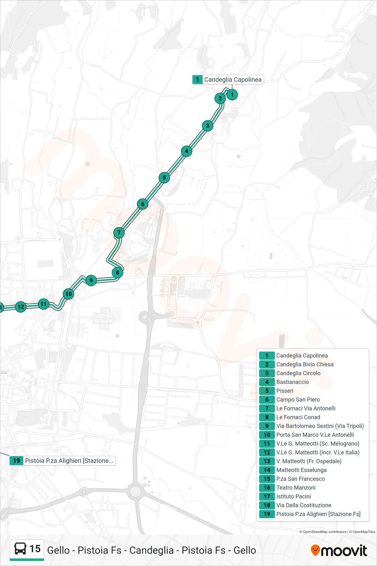
Stops list (15 - Pistoia P.za Alighieri [stazione])
- Candeglia Terminal
- Candeglia Church Junction
- Candeglia Circle
- Bastianaccio
- Pisseri
- San Piero Square
- Le Fornaci Via Antonelli
- Le Fornaci Conad
- Via Bartolomeo Sestini (Via Tripoli)
- San Marco Gate Antonelli Avenue
- G. Matteotti Avenue (Melograno School)
- Matteotti Blvd (Italy Blvd Junction)
- Via Matteotti (Opposite Hospital)
- Matteotti Esselunga
- Piazza San Francesco
- Manzoni Theater
- Pacini Institute
- Della Costituzione Street
- Pistoia Alighieri Square [Railway Station]